Categories
Bucknell/Local Interest General GIS GIS & Environmental Justice GIS in Environmental Studies GIS in Geography GIS in Social Science GIS Jobs, Internships, Scholarships & Grad Programs Slideshow

GIS Job Opportunities – Summer 2012 paid GIS internship with REU

I’ve been posting a lot (here, here and here) about GIS job opportunities for Bucknell’s class of 2012 – but there are also lots of GIS internships out there for returning students. Are you interested in using GIS for research this summer? Do you want to get paid for it too?  If so, you should consider applying to the Research Experiences for Undergraduates (REU) program’s Georgia State University site.

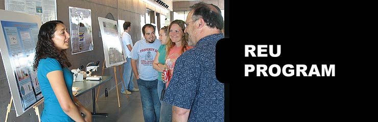
The Research Experiences for Undergraduates (REU) program is funded by NSF and among the most competitive and prestigious summer research programs available to undergraduate students. REU targets students from various disciplines and hosts programs at sites all across the U.S.  (click here to see the full list). In Summer 2012 Georgia State University in Atlanta, GA will host an REU site focused on using GIS to do community-based research and fieldwork.  Check out the details below and be sure to tell me if you decide to apply for this.  BTW, having something like this on your resume would be incredibly helpful in any future job searches.

Research Experiences for Undergraduates (REU) Site: Addressing Social and Environmental Disparities through Community Geography and Geographic Information Systems.  The project is funded by the National Science Foundation.  The program runs June 18th – August 2nd.

Research Interests: Working with faculty mentors in one of three research tracks, 10 selected undergraduates will engage in community-based research and fieldwork to quantitatively and qualitatively examine neighborhood change, property markets, air and soil quality, urban green spaces, and neighborhood visioning in partnership with neighborhood residents and community groups.

Compensation: Each REU student will receive a competitive funding package, including: a $3000 stipend, up to $250 in travel support to/from Atlanta, up to $750 for conference presentations, free room and board at GSU, and 3 required texts.

Application Process: Applications are due Friday, March 23rd @ 5 PM EST.  Complete application instructions and the application form can be found at http://csaw.gsu.edu/nsf-reu/application-instructions/

To Learn More:  Visit http://csaw.gsu.edu/nsf-reu/

Any questions can be directed to the Dr. Timothy Hawthorne (PI) at thawthorne@gsu.edu or Dr. Katherine Hankins (Co-PI) at khankins@gsu.edu
 

Categories
Bucknell/Local Interest Digital Humanities Environment General GIS GIS in Computer Science GIS in Environmental Studies GIS in Geography GIS in Geology GIS in Public Health GIS in Sociology Slideshow

From the Yale Daily News… “Map on, Maples!”

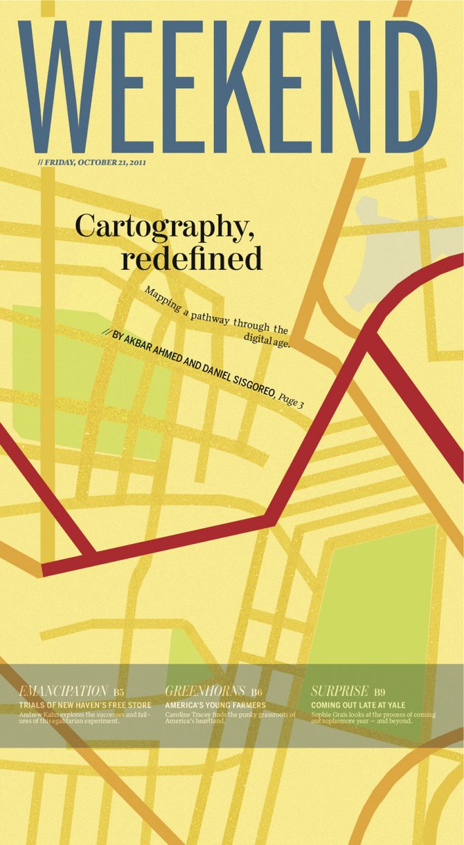
The Yale Daily News has a great article about the role that the GIS Specialist, Stace Maples, plays on campus. Maples, a fellow ESRI T3G Institute alum from summer 2010, works with faculty and students on integrating GIS into teaching and research at Yale and…

… he is in high demand. Working in the three-person Map Department, a department within the Yale University Library, he trains students and faculty in the use of the arcane computer program. He helps professors in areas from history to public health, in such projects as diverse as mapping correspondence networks and placing photographic collections in a geological context. He is adamant that geographical data is relevant to all academic endeavors.

“Everything is somewhere, and that somewhere matters,” Maples declared.

Although I take issue with the reporter’s use of the word ‘arcane’ to describe GIS software, I’ll second Stace’s assessment that location matters (or, as the Geospatial Revolution team at Penn State put it, “the location of anything is becoming everything“).  In a statement that is sure to resonate with faculty, Peter Bol, the director of the Center for Geographic Analysis at Harvard University, is quoted in the article as saying that:

 “If you want to publish competitive research today, you have to have GIS.”

That might be a bit of an overstatement (for the moment, at least), but there’s no doubt that incorporating GIS and spatial analysis is increasingly becoming an expectation in academic research, much in the same way as it has become part of the fabric of our everyday lives.  Dana Tomlin – who is… a visiting faculty member in the Yale School of Forestry, co-director of the Cartographic Modeling Laboratory at the University of Pennsylvania, a GIS Hall of Fame-r, the creator of map algebra, and, incidentally, the grad school professor who got me hooked on GIS (thanks, Dana!), sums it up this way:

“With the advent of web mapping services like Google Earth and Bing, the ability to sense geographical position in real time via the Global Positioning System (GPS), and the opportunity to place this sort of magic quite literally into the hands of anyone with a smart phone, there is no question that the world at large is already well beyond the point of no return in terms of making routine use of geographical data in digital form.”

GIS has existed as a computing technology since the 1960’s, but until the mid to late 1990’s it was largely the domain of highly-trained specialists working from high-powered servers. GIS software and web-based map apps have become increasingly faster, more powerful and more user-friendly over the last 20 years. If those trends continue, and if we do our jobs well, Stace and I might very well work ourselves out of a job:

It is conceivable that GIS might one day become as ubiquitous within academia as Google Maps is within the broader population. If departments integrate GIS into their own teaching, the role that Maples and other specialists play is likely to diminish. Graduate students in fields employing GIS are expected to understand the program and its functionalities… Meanwhile, academics who only rarely use GIS might consult specialists if and when necessary, while remaining blissfully oblivious of the program’s nitty-gritty.

Today’s graduate students are tomorrow’s professors. And, if the trends hold true, at least a significant proportion of them will soon be using GIS technology to gain deeper insight into diverse fields of study for decades to come. So map on, Maples.

Click here to read the full story and learn more about how Yale faculty and students are using GIS to study history, archaeology, linguistics, environmental studies, forestry, public health and other topics.


Categories
Bucknell/Local Interest Environment Events/Calendar General GIS GIS in Environmental Studies GIS Jobs, Internships, Scholarships & Grad Programs Slideshow

$19,700/yr fellowship opportunity for sophomores

See below for information on an undergraduate fellowship opportunity from the EPA. Current sophomores can apply to receive up to $19,700 per academic year for their junior and senior years – along with a stipend for a summer internship.

Title: Fall 2012 EPA Greater Research Opportunities (GRO) Fellowships for Undergraduate Environmental Study
URL: http://www.epa.gov/ncer/rfa/2012/2012_gro_undergrad.html
Open Date: 08/22/2011  –  Close Date: 12/12/2011
Summary:  The U.S. Environmental Protection Agency (EPA), as part of its Greater Research Opportunities (GRO) Fellowships program, is offering Greater Research Opportunities (GRO) undergraduate fellowships for bachelor level students in environmental fields of study. The deadline for receipt of applications is December 12, 2011 4:00 PM ET for receipt of paper applications, and December 12, 2011, at 11:59:59 PM ET for submittal of electronic applications to Grants.gov. Subject to availability of funding, and other applicable considerations, the Agency plans to award approximately 40 new fellowships by July 30, 2012. Eligible students will receive support for their junior and senior years of undergraduate study and for an internship at an EPA facility during the summer of their junior year. The fellowship provides up to $19,700 per academic year of support and $9,500 of support for a three-month summer internship.

Applicable Category(s): Grant/Fellowship Announcements

Categories
Data General GIS GIS in Environmental Studies GIS in Geography GIS in Humanities GIS in Political Science GIS in Public Health GIS in Sociology Map Apps Slideshow

3 global data visualization tools to use in your class

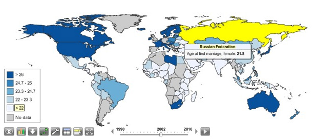
Last fall the World Bank launched a contest aimed at challenging web developers to create web-based tools using the data available through the World Bank’s Open Data Initiative. Click here to read an article from Programmable Web about the contest winners (excerpt below).

You can visualize nearly every indicator of economic, social and human development on StatPlanet World Bank, the winner of World Bank’s ambitious developer contest launched last October challenging new uses of the World Bank API. After voting from distinguished judges and the public, the organization announced the top three apps at an event in Washington, D.C., this afternoon.

StatPlanet is already a platform used by non-profits and other groups to map and visualize data. Its creator Frank van Cappelle said the application is aimed toward “evidence-based decision making.” For the World Bank contest, van Cappelle connected his platform to World Bank’s API. Where one of the challenges with World Bank’s data is how much of it there is, StatPlanet does a great job of helping users zero in on and visualize what interests them.

StatPlanet enables users to visualize global development indicators via customizeable maps and charts – and also provides a data download tool.  StatPlanet could be used in combination with WorldMapper and Gapminder – two other web-based global data visualization tools – for in-class demos and/or as a resource for student projects.  Click here to go to the StatPlanet main landing page or here to go directly to the tool.

Categories
Bucknell/Local Interest Data Environment Events/Calendar General GIS GIS in Computer Science GIS in Engineering GIS in Environmental Studies GIS in Geology Miller Run Restoration Project Slideshow

Physics Dept coffee talk on using the Flying Bison drone to collect aerial imagery

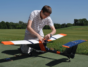
Come hear Nick Urban, Computer Science ’12, talk about designing, building and flying the remote-controlled Flying Bison drone. Nick will be presenting on Monday, 9/26 at noon (Olin 364) as part of the Physics department’s coffee talk series.  He’ll have the plane with him and will be showing some new video that will be captured by the drone in test flights he’s conducting this week.

Below are links to some previous blog posts about Nick’s Flying Bison and the Miller Run Restoration project that the drone collected data for.

1. Article by Julia Ferrante from Bucknell Communications office

2. A short video about the Miller Run Restoration project and the Flying Bison

3. An overview of the Miller Run Restoration project, including the role of the Flying Bison in collecting high resolution aerial imagery.

4. Some background on the spring 2011 competition that Nick flew the Flying Bison