Categories
Events/Calendar GIS Jobs, Internships, Scholarships & Grad Programs Slideshow

GIS Job Opportunities – Webinar on Careers in GIS & Remote Sensing

Thinking about a career in remote sensing and/or GIS? If so, check out this webinar that will be held on Thursday, Nov. 8th at 1pm EST.

Students and young professionals are invited to attend the first Careers in Remote Sensing and GIS Webinar, presented by the Geological Remote Sensing Group for North America. The format will be short presentations and Q&A from Professionals at mid- and advanced-career stages on their experience, and also predictions as to the geospatial job market in the next five years.  If you are a student finishing studies in the near future and looking for advice on career options or a Young Professional looking for new directions, this may provide you with an insight on how to move up in the Remote Sensing and GIS world. This webinar will provide information about careers in Remote Sensing, including:

  • Key skill sets for a career in remote sensing
  • Advantages and challenges of remote sensing jobs in Academia, Consulting and Industry
  • Is getting a PhD necessary for a job in remote sensing
  • How often do these jobs come up? How hard are they to find?

Speakers include:

  • Conrad Wright, Chief Business Development Officer, SpecTIR
  • Dr. Chuck Kluth, Distinguished Scientist, Petroleum Geology, Department of Geology and Geological Engineering, Colorado School of Mines
  • Lori Wickert,Remote Sensing and Spectral Geologist and Principal Consultant – Remote Sensing to Newmont Mining’s Remote Sensing and Regolith Terrain Mapping, Global Exploration Solution’s Group.
  • Ralph Baker, Senior Consulting Geologist
Categories
Bucknell/Local Interest Digital Humanities Events/Calendar GIS & Environmental Justice GIS by Academic Discipline GIS in Art GIS in Biology GIS in Computer Science GIS in Economics GIS in Engineering GIS in Environmental Studies GIS in Film Studies GIS in Geography GIS in Geology GIS in History GIS in Humanities GIS in Political Science GIS in Psychology GIS in Public Health GIS in Social Science GIS in Sociology GIS in Women's Studies GIScience, Pedagogy & Spatial Thinking Slideshow

Register & Submit Presentations for Bucknell-hosted GIS conference

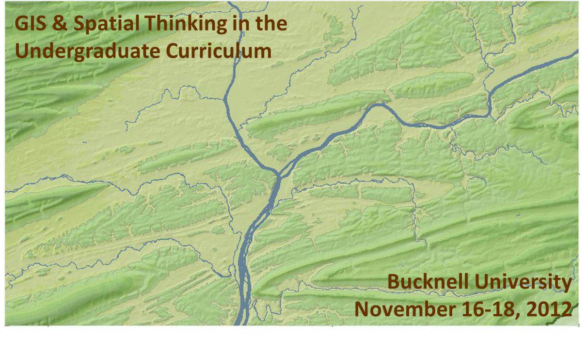
We recently launched the conference website for the upcoming Bucknell-hosted conference GIS & Spatial Thinking in the Undergraduate Curriculum.  Basic info is shown below, but please check out the conference website for details and updates as they become available.

About the Conference:

  • When: November 16-18, 2012
  • Where: Bucknell University, Lewisburg, PA. Click here for a map.
  • Details: Click on the pages shown on the menu above to access information onregistrationlodging, conference schedule, and submitting presentations and maps.
  • Deadlines:  Deadline for early bird registration is September 15, 2012. Deadline forsubmitting presentations and maps is September 21, 2012.
  • Format:  We have chosen a work-group format for the conference in order to maximize opportunities for discussion and brain-storming amongst participants. The main day of the conference will feature five work-group sessions. Each session will consist of 45 minutes of presentations and 45 minutes of open discussion organized around a theme. We are seeking 3 presenters and 1 chairperson for each of the 5 sessions. See the submissions page for a detailed description of each of the session topics:
    • 1a (Concurrent with 1b) – Mapping Human Activity – Qualitative Analysis GIS
    • 1b (Concurrent with 1a) – Quantitative Analysis & Technical Applications of GIS
    • 2   (Single group) – GIS in Pedagogy
    • 3a (Concurrent with 3b) – GIS in Community Outreach & Service Learning
    • 3b (Concurrent with 3a) – Software & Data Issues in GIS Instruction
  • Goals: Desired outcomes include: (1) providing mutual support for imaginative and challenging applications of spatial technology in undergraduate education; (2) fostering potential collaborative efforts between and within participant schools, such as joint research initiatives and/or shared resources for data, web maps and teaching materials, and; (3) creating a regional community of faculty and GIS/IT staff to interact on a regular basis, share information, and exchange ideas about the priorities identified during the conference.

This event is sponsored by Library & Information Technology at Bucknell University. Should you have any questions, please contact Janine Glathar at jlg046@bucknell.edu or (570) 577-1990.


Categories
Bucknell/Local Interest Events/Calendar General GIS Map Apps Slideshow

Bucknell GIS brings home an IronSheep

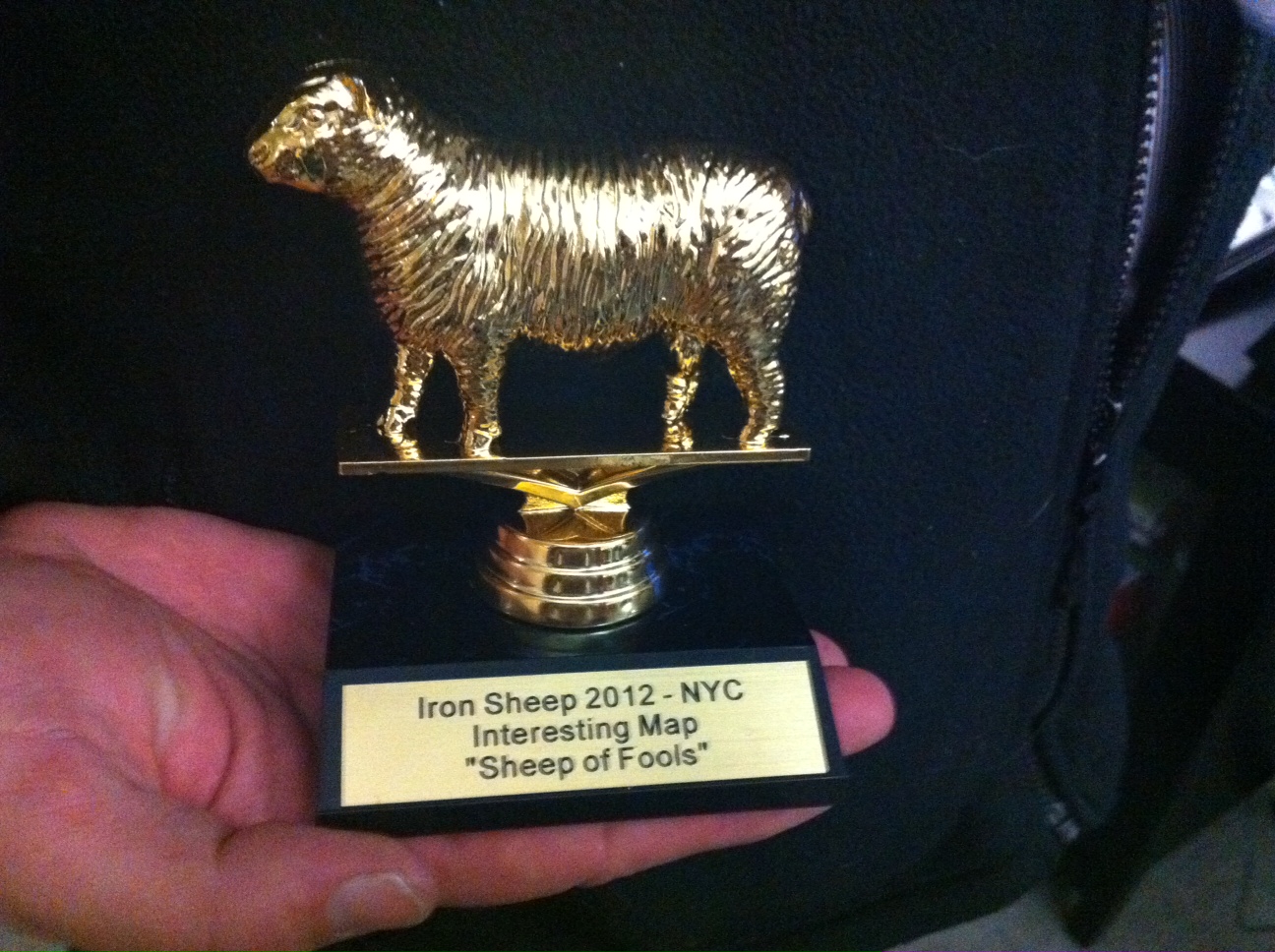
Over the holidays we posted about Prof. Duane Griffin’s victory in the FloatingSheep blog’s Christmas map contest. Well, Duane has once again brought glory (or infamy, depending on which way you look at it) to Bucknell GIS by winning the coveted ‘Sheep of Fools’ award at the first ever IronSheep contest.

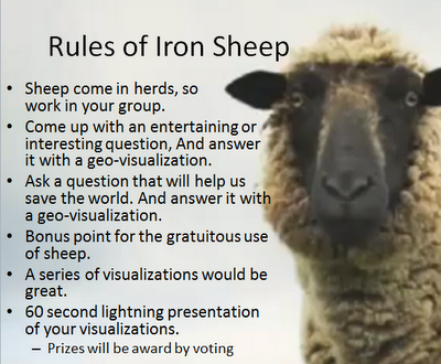
The contest, part of the slate of activities for the 2012 annual meeting of the American Association of Geographers, was hosted by Pivotal Labs near Union Square in NYC, and featured 7 teams of ‘lightning mappers’ comprised of geographers, GIS analysts, data hounds, web developers and other assorted mapping/data visualization enthusiasts. As described in the FloatingSheep blog’s announcement of the event, the premise of the IronSheep competition was to…

mimic the format of the “Iron Chef” television series. This workshop challenges participants (grouped into teams with members from diverse backgrounds and skill sets) to produce meaningful analysis and fun, evocative mash-ups from the same sets of user-generated, geo-coded data within a four hour time frame. The goal is to provide a semi-structured environment where participants can socialize and work in a fun yet socially meaningful project. Participants will be drawn from academic, industry and artistic communities from around the world… Teams will be assigned a targeted question…and use crowdsourced data to create a new geo-visualization.

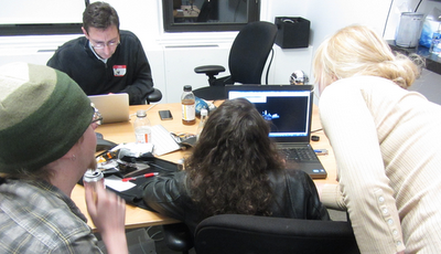
And that we did… for four hours the teams crunched, analyzed, mapped, visualized and animated datasets ranging from UFO sightings and WalMart store locations to Flickr geotags for “Redneck” and ‘Hippy.” Click here to read the FloatingSheep blog’s recap of the event and to see pictures from the event. See below for pictures of the teams hard at work.

Some interesting discussions about neo-geography (e.g. open geography/VGI/geoweb/web mapping services) vs. traditional GIS arose during the IronSheep debriefing session held on the final day of the AAG conference. Click here to read Jeremy Crampton’s overview of the debate or here to check out the Twitter stream about the topic.

Team Rambouillet (my team – we didn’t win any IronSheep awards but we had a lot of fun)


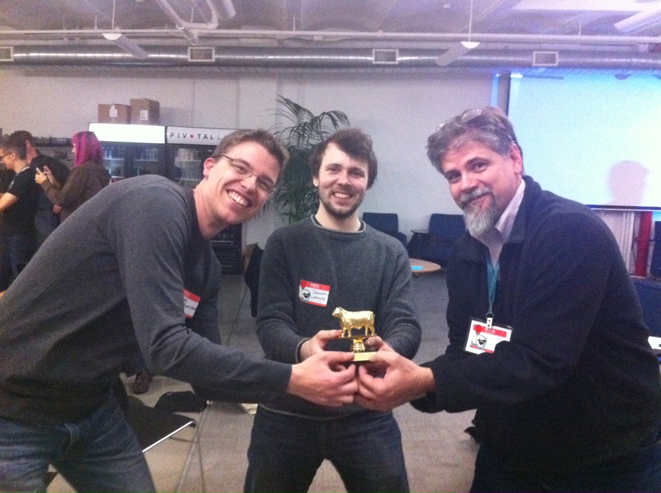
Team Haggis (Prof. Duane Griffin’s team – winners of the “Sheep of Fools” award)


This is one of Team Haggis’s entries. As described by Duane Griffin, “It’s the number of ‘Redneck’ and ‘Hippy’ Flikr geotags within 7.5 miles of a UFO sighting, to see who the aliens are most likely trying to target.”


Team Haggis showing off their IronSheep


The coveted “Sheep of Fools” award

Categories
Bucknell/Local Interest Events/Calendar General GIS Slideshow

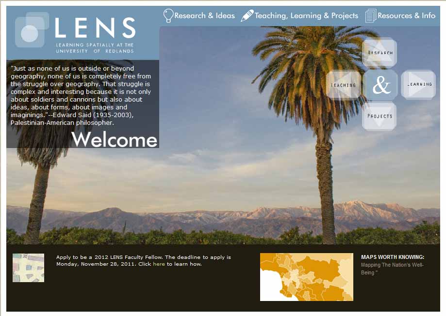
Call for faculty interest in summer 2012 ‘Mapping Communities’ fellowship at University of Redlands

For the last two years, the LENS program at the University of Redlands has offered fellowships to faculty from around the country who are interested in exploring different ways to incorporate maps and spatial perspectives in their teaching and research. The fellowships include a week-long summer institute in Redlands, CA organized around a spatial theme. This year’s institute will run from June 13th-16th and is organized around the theme of ‘Mapping Communities’ (including sub-themes on history, world religion and human impacts on local environments). Lodging, registration and some meals are provided by the institute.

Please e-mail me at jlg046@bucknell.edu if you think you might be interested in applying for a LENS fellowship for summer 2012.

The website for this year’s LENS institute is not yet up, but you can click here to read about the 2010 institute and click here to read about the 2011 institute. Or read below for a more detailed description of the LENS Fellows program.

Each year, several Redlands faculty will be selected as LENS Fellows to collaborate around a unifying spatial theme or concept. Through consultations, workshops, and technical support, the Fellows will explore ways in which their teaching and research can be informed by innovative mapping ideas. At the center of this is a summer Institute, when the Fellows will be joined by colleagues from other institutions as well as domain experts who will give presentations, lead discussions, and share their insights.

During the Institute, participants will explore that year’s topic in discussions that will be both structured and open-ended. The Institute is not a “technology workshop” per se, though there will be times when we use technologies to illustrate or demonstrate a point. Instead, this Institute provides an opportunity to understand new questions and gain insights into these topics from an intellectual perspective. We will in particular explore the connections between the participants’ domain areas and the spatial or geographic questions we have about those, the capacity for existing technologies to align with those questions, and how we can help students learn through mapping to appreciate and address the questions themselves.


Categories
Bucknell/Local Interest Environment Events/Calendar General GIS GIS Jobs, Internships, Scholarships & Grad Programs Slideshow

Happy GIS Day, Bucknell!

If the map-lovers and geo-geeks in your life have an extra spring in their step this morning, it’s because GIS day is finally here!!!! No, you probably can’t get out of class or work on this holiday but there’s still a lot to get excited about, including:

1. Jobs – developing GIS and spatial literacy skills can help you get a job.

The geospatial industry and market for it continue to expand at a phenomenal rate. The latest Dept. of Labor statistics show more than 850,000 current geospatial workers with an additional 350,000 needed by 2018 (from GeoTechCenter.org)

Because the uses for geospatial technology are so widespread and diverse, the market is growing at an annual rate of almost 35 percent, with the commercial subsection of the market expanding at the rate of 100 percent each year. (from U.S. Department of Labor’s Employment & Training Administration website)

2. Cake – GIS day means…. cake! Last year was an orthophoto cake. This year the cake has gone inter-galactic. Want to eat a slice of the globe cake? It’ll be served up at noon near the central staircase in the library.

3. Geo-geek humor – That’s right, GIS Day is also a celebration of the collective, colossal geekiness of the people all over the world who do GIS. Last year’s GIS Day brought us a GIS-inspired cover version of Jay-Z and Alicia Keys’ ‘Empire State of Mind.’

httpv://www.youtube.com/watch?v=4mCDUf08YLg

This year is a cartoon on what your favorite map projection says about you.