Categories
Bucknell/Local Interest Events/Calendar General GIS Slideshow

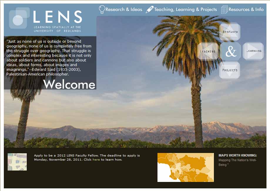
Call for faculty interest in summer 2012 ‘Mapping Communities’ fellowship at University of Redlands

For the last two years, the LENS program at the University of Redlands has offered fellowships to faculty from around the country who are interested in exploring different ways to incorporate maps and spatial perspectives in their teaching and research. The fellowships include a week-long summer institute in Redlands, CA organized around a spatial theme. This year’s institute will run from June 13th-16th and is organized around the theme of ‘Mapping Communities’ (including sub-themes on history, world religion and human impacts on local environments). Lodging, registration and some meals are provided by the institute.

Please e-mail me at jlg046@bucknell.edu if you think you might be interested in applying for a LENS fellowship for summer 2012.

The website for this year’s LENS institute is not yet up, but you can click here to read about the 2010 institute and click here to read about the 2011 institute. Or read below for a more detailed description of the LENS Fellows program.

Each year, several Redlands faculty will be selected as LENS Fellows to collaborate around a unifying spatial theme or concept. Through consultations, workshops, and technical support, the Fellows will explore ways in which their teaching and research can be informed by innovative mapping ideas. At the center of this is a summer Institute, when the Fellows will be joined by colleagues from other institutions as well as domain experts who will give presentations, lead discussions, and share their insights.

During the Institute, participants will explore that year’s topic in discussions that will be both structured and open-ended. The Institute is not a “technology workshop” per se, though there will be times when we use technologies to illustrate or demonstrate a point. Instead, this Institute provides an opportunity to understand new questions and gain insights into these topics from an intellectual perspective. We will in particular explore the connections between the participants’ domain areas and the spatial or geographic questions we have about those, the capacity for existing technologies to align with those questions, and how we can help students learn through mapping to appreciate and address the questions themselves.
 

Categories
Bucknell/Local Interest General GIS Slideshow

Call for faculty interest in summer 2012 GIS workshops at Bucknell (revised)

As we have for the past two summers, Bucknell’s LIT division will offer a series of summer workshops for faculty interested in hands-on instruction in GIS. Stipends of $400 will be offered to faculty for participating in each workshop. Please fill out this interest/registration form as soon as possible if you are interested in any of the following workshops.

Overview

1. Introductory GIS workshop (4 days, 4 hours per day) – no prerequisites
Monday, August 6th-Thursday, August 9th from 9am-1pm (lunch included)
2. Using ArcHydro for Water Resources Analysis (3 days, 8 hours per day)*
Monday, August 13th-Wednesday, August 15th from 9am-1pm (lunch included)
3. Spatial Statistics with ArcGIS and Geoda (2 days, 8 hours on 1st day, 4 hours on 2nd day)*
Thursday, August 16th from 9am-4pm and Friday, August 17th from 9am-1pm (lunch included)

Details – Spatial Statistics with ArcGIS & Geoda

The workshop ‘Spatial Statistics with ArcGIS and Geoda’ will be taught by Professor Jennifer Miller, Assistant Professor in the Department of Geography & Environment and Director of the GIScience Center at University of Texas at Austin. Below is a tentative outline of the 3-day workshop. Faculty will have an opportunity to work with their own data for part of the last day of the workshop.

Day 1: Introduction to Spatial analysis and Point pattern analysis

  • 1st order vs 2nd order effects (density vs. distance)
  • Nearest neighbor analysis, Ripley’s K statistics
  • Interpreting results (z-scores, Monte Carlo simulation)

Day 2: (Global) Spatial pattern measurement and modeling

  • Spatial autocorrelation analysis
  • Conceptualizing spatial relationships
  • Moran’s I, Getis-Ord General G statistic
  • OLS Regression
  • Model fittingModel diagnostics
  • Residual analysis

Day 3: (Local) Spatial pattern measurement and modeling

  • Local spatial autocorrelation analysis
  • LISA, Gi* (Geoda software)Mapping/interpreting results
  • Geographically weighted regression
  • Spatial non-stationary

Details – Using ArcHydro for Water Resources Analysis

The workshop ‘Using ArcHydro for Water Resources Analysis’ is tentatively scheduled to be taught by Professor Venkatesh Merwade, Assistant Professor in the School of Civil Engineering at Purdue University and Director of the Geospatial Water Resources Institute.  We are close to finalizing details on this workshop, so stay tuned for details on who will teach the workshop. Below is a tentative outline of the 3-day workshop. Faculty will have an opportunity to work with their own data for part of the workshop.

  • ArcGIS Skills Review
  • Integrating Geospatial and Temporal Datasets for Hydrology
  • Raster and Vector Data in Hydrology
  • Terrain Analysis in ArcGIS (Hydrology Tools)
  • Terrain Processing Using ArcHydro
  • Developing SCS Curve Number Grid
  • HEC-GeoHMS Application
  • HEC-HMS Application
  • HEC GeoRAS Application
  • HEC-RAS Application
  • Building ArcHydro Network using NHD
  • Groundwater Tools in ArcGIS