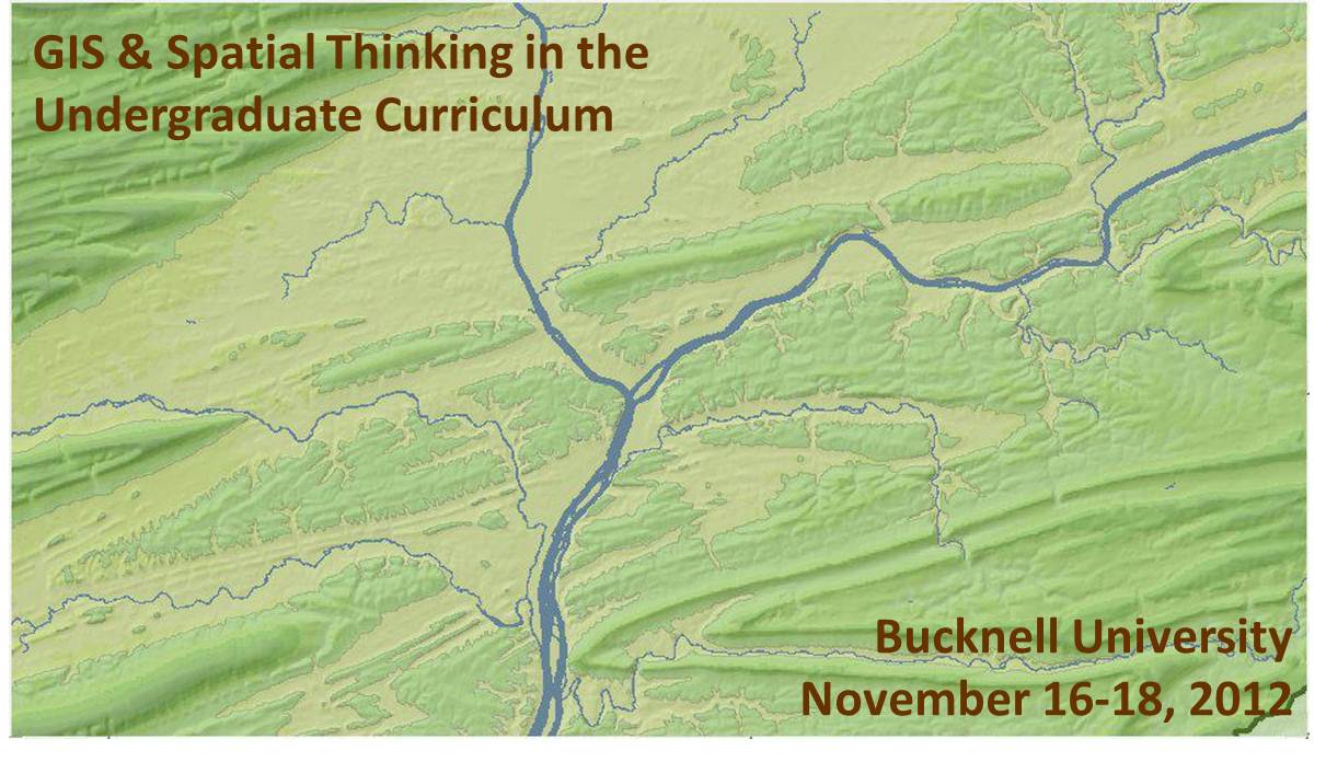
We recently launched the conference website for the upcoming Bucknell-hosted conference GIS & Spatial Thinking in the Undergraduate Curriculum. Basic info is shown below, but please check out the conference website for details and updates as they become available.
About the Conference:
- When: November 16-18, 2012
- Where: Bucknell University, Lewisburg, PA. Click here for a map.
- Details: Click on the pages shown on the menu above to access information onregistration, lodging, conference schedule, and submitting presentations and maps.
- Deadlines: Deadline for early bird registration is September 15, 2012. Deadline forsubmitting presentations and maps is September 21, 2012.
- Format: We have chosen a work-group format for the conference in order to maximize opportunities for discussion and brain-storming amongst participants. The main day of the conference will feature five work-group sessions. Each session will consist of 45 minutes of presentations and 45 minutes of open discussion organized around a theme. We are seeking 3 presenters and 1 chairperson for each of the 5 sessions. See the submissions page for a detailed description of each of the session topics:
- 1a (Concurrent with 1b) – Mapping Human Activity – Qualitative Analysis GIS
- 1b (Concurrent with 1a) – Quantitative Analysis & Technical Applications of GIS
- 2 (Single group) – GIS in Pedagogy
- 3a (Concurrent with 3b) – GIS in Community Outreach & Service Learning
- 3b (Concurrent with 3a) – Software & Data Issues in GIS Instruction
- Goals: Desired outcomes include: (1) providing mutual support for imaginative and challenging applications of spatial technology in undergraduate education; (2) fostering potential collaborative efforts between and within participant schools, such as joint research initiatives and/or shared resources for data, web maps and teaching materials, and; (3) creating a regional community of faculty and GIS/IT staff to interact on a regular basis, share information, and exchange ideas about the priorities identified during the conference.
This event is sponsored by Library & Information Technology at Bucknell University. Should you have any questions, please contact Janine Glathar at jlg046@bucknell.edu or (570) 577-1990.