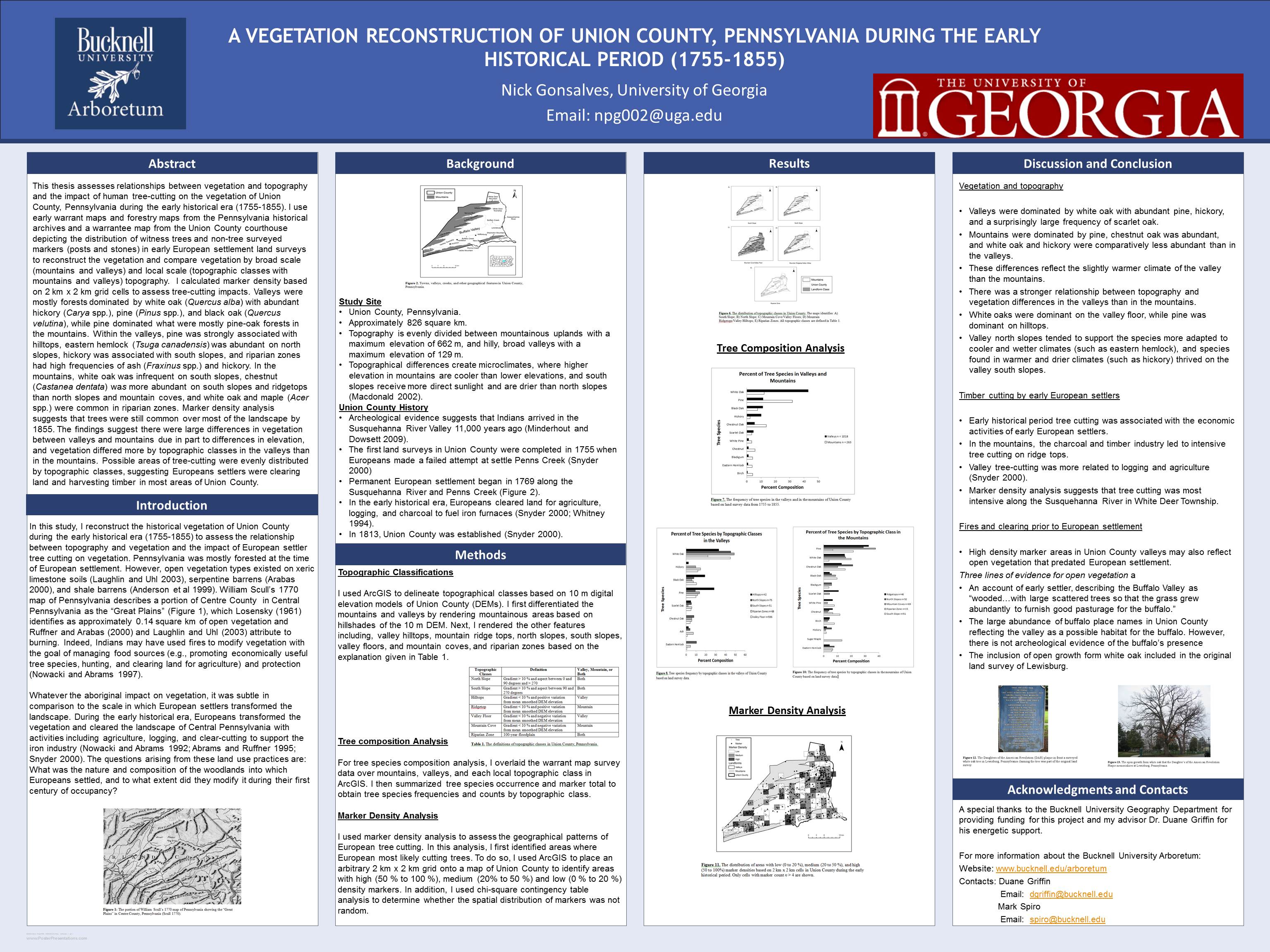
Below is a list of upcoming deadlines for student GIS paper, poster & scholarship competitions. All of these deadlines are listed on the newly re-designed Bucknell GIS Calendar. The calendar also includes dates for upcoming GIS conferences, meetings, presentations, workshops and course/lab sessions. If you have an event you’d like to list on the GIS calendar, please contact me at jlg046@bucknell.edu
September
There are two competition categories: narrative maps and interactive maps.
A narrative map presents information in a way that communicates a story, cause, or message.
An interactive map provides tools that may be used for navigation, location-based services, or exploratory geovisualization.
Each map will be judged by a panel of three professional cartographers. The winners will be announced (and demonstrated) during this year’s NACIS annual meeting in Madison, WI. The winners will also be announced in the following issue of Cartographic Perspectives.
Prizes
A first prize of $500 will be awarded to the best narrative map and best interactive map. At the discretion of the judges, additional noteworthy maps may receive an honorable mention award. All first place and honorable mention maps will receive award certificates.
All student posters submitted to the competition will be displayed at NACIS 2011. There is no entry fee. We appreciate advance registration so we can reserve display space for your poster. However, posters should be brought to the annual meeting or arranged to be shipped to the conference hotel (ATTN: NACIS POSTER SESSION) to arrive before Wednesday, October 12, 2011.
Prizes
There will be one winner which will be awarded $500. One runner-up will receive an honorable mention award. NACIS meeting attendees will vote on entries and the winners will be announced at the conference. Other non-cash award honorable mentions may be given at the discretion of the Student Poster Competition Chair and the Poster Session Chair. All prize-winning and honorable mention posters will receive award certificates.
Poster/Map Gallery Session and Contest – We are accepting posters or map presentations for the 2011 NW PA GIS Conference. The deadline for a poster or map abstract is on Wednesday September 21st, 2011 by 3:00PM via Online Registration form or email (arodriguez@co.crawford.pa.us). The contest will be sponsored by ESRI and the winner will receive a set of the 3-volume GIS Tutorial Series from ESRI press.
All STUDENTS are urged to come and present a paper at the fall meeting. The reduced rate for enrolled students is $30.00 before September 26th. MSDAAG also encourages all graduate and undergraduate students to submit and present research papers to the Student Paper Competition. CASH PRIZES are awarded. Student status is as of May 1, 2011. Meeting fees are returned to students who both submit the completed paper in writing by the deadline and present the paper at the meeting. Completed papers must follow the Middle States Geographerguidelines and can be no longer than 8 pages, single spaced, 10 point Times Roman or equivalent font. Further details on the guidelines are specified at the Middle States Division AAG web site at (http://geographyplanning.buffalostate.edu/msg_guidelines.html). Entrants should submit abstracts not to exceed 250 words electronically while registering at:http://ku.qualtrics.com/SE/?SID=SV_eqGZYfI0H0TJHmc and send electronic copies of completed papers to John Dobosiewicz at jdobosie@kean.edu , MSDAAGStudent Paper Competition Chair, by September 26, 2011.
Presentations – Your presentation should describe the purpose, methods, and conclusions of your research. No one may submit or take part in more than one presentation. Presenters may give one, and only one, of the following presentations:
October
Geography Bowl – Departments, please enter you team by contacting Mark de Socio at Salisbury University
A processing fee of $25 will be charged for each abstract submitted payable upon submission of the abstract. The fee is non-refundable and will not be credited toward the cost of the presenter’s conference registration fee. Abstracts are being sought for oral presentations, panels and posters covering a wide range of topics. To be considered for placement in the program, please go to the link given below to connect to the abstract submittal form.ABSTRACTS MUST BE RECEIVED VIA THE WEB SITE ON OR BEFORE OCTOBER 3, 2011 .
Each of the Marble-Boyle Undergraduate Achievement Awards consists of a cash prize of $1,000, a $200 credit for books published by the ESRI Press and a certificate of recognition. ESRI has also agreed to provide priority consideration to any of the awardees who may be interested in participating in their Summer Intern Program. All Marble-Boyle awardees will be eligible to compete for an additional research fellowship award that is being offered every two years by the MicroGIS Foundation for Spatial Analysis (MFSA). In addition to access to research facilities, the MFSA fellowship will cover all transportation and housing costs for up to four months of work with MFSA in Lausanne, Switzerland. Depending upon the time of year, there will also be an opportunity to audit courses at the Ecole Polytechnique Federale de Lausanne (EPFL) or, in summer, to receive specific training available from MFSA. For full details on the supplemental MFSA research fellowship award.
Presentation sessions – Posters and papers are welcome. Abstracts should be sent to Martha Geores (mgeores@umd.edu) by OCTOBER 15. There will be a poster contest for students, with prizes.
November
Call for Presentations—Tell your GIS story and help shape this valuable event for Mid-Atlantic ArcGIS users. Map Gallery—Share your work and knowledge. Submit your Map by November 4.
December
Synopsis of Program: The U.S. Environmental Protection Agency (EPA), as part of its Greater Research Opportunities (GRO) Fellowships program, is offering Greater Research Opportunities (GRO) undergraduate fellowships for bachelor level students in environmental fields of study. The deadline for receipt of applications is December 12, 2011 4:00 PM ET for receipt of paper applications, and December 12, 2011, at 11:59:59 PM ET for submittal of electronic applications to Grants.gov. Subject to availability of funding, and other applicable considerations, the Agency plans to award approximately 40 new fellowships by July 30, 2012. Eligible students will receive support for their junior and senior years of undergraduate study and for an internship at an EPA facility during the summer of their junior year. The fellowship provides up to $19,700 per academic year of support and $9,500 of support for a three-month summer internship. Potential Funding per Fellowship: Up to a total of $48,900 over a two-year period. Fellows will receive support for their junior and senior years of undergraduate study and for a paid summer internship at an EPA facility between their junior and senior years.
Spring 2012
CARTOGRAPHY AND GEOGRAPHIC INFORMATION SOCIETY (CaGIS) – Student Map Design Competition – National Geographic provides a cash prize and atlases for this map competition that evaluates map design and how a map meets its design objectives. College students can submit maps that are on paper, disc, or online. The deadline is January 29, 2012. 2010-11 AWARD WINNERS: The Arthur Robinson prize for best printed map by a student, consisting of $600 and the National Geographic 9th Edition Atlas of the World, went to Adam Thom, Sir Sandford Fleming College for his map titled Sites and Recreation in Central California. View a sample of his work by clicking here  . Note: Previews of the winning maps can be viewed on the CaGIS website in the Awards section. There were no submissions for the David Woodward award for best electronic map by a student. More information, application forms, and past winners are at theCaGIS website.
Undergraduate students and master’s-degree candidates are invited to apply for the National Geographic Award in Mapping. This award recognizes student achievement in the art, science, and technology of mapping and seeks to encourage student research. The first place award consists of a cash prize of $900 (U.S.) and the second place award is $300 (U.S.). Winners will also receiveNational Geographic atlases or other map products.
Submissions may take a variety of forms, but must focus specifically on maps and mapping. The following types of submissions are welcome: map products in digital and paper format; web-based maps or cartographic services; dynamic, animated, and/or interactive geovisualization environments; or other cartographic projects.
Click here for more info on map gallery guidelines