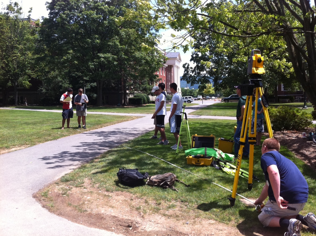
In January of 2011, Bucknell received a 178K grant through PA DEP’s Growing Greener program to support the first phase of a project that will restore the Miller Run Creek (that runs through campus and the golf course) and provide flood relief to the surrounding areas. Bucknell’s GIS Student Assistants are supporting the Miller Run Restoration project by collecting high resolution aerial imagery (using a drone) and elevation data (using an RTK survey system and high accuracy GPS). We’ll post more about the project in the next few weeks, but for now here are a few pictures of Team Survey.
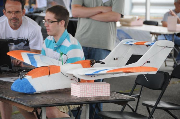
Nick Urban, Computer Science ’12 – designing, building and flying an aerial drone to capture high resolution imagery of the campus area
Max Stiss, Geography/Anthropology ’12 – collecting GPS data near Abbey Lane for the Miller Run Restoration Project

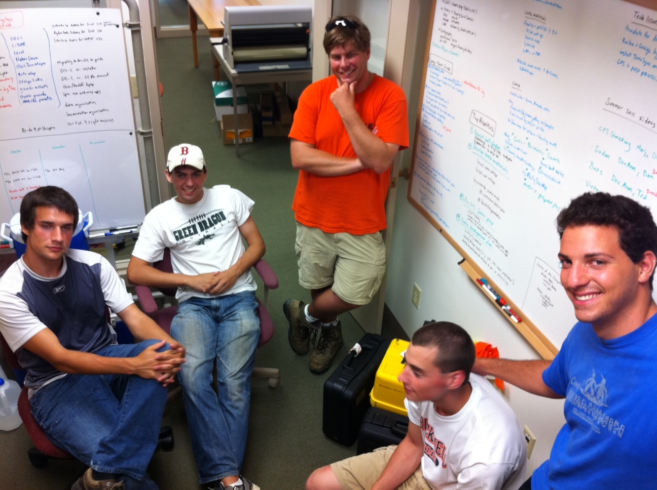
From L to R, clockwise: Mike Grasso, Environmental Studies ’13; Dan Dougherty, Geography/History ’12; Prof. Rob Jacob, Geology; Dan Dougherty, Geography/History ’12; Max Stiss,
Geography/Anthropology ’12 uploading GPS data after a day in the field
Training on the RTK System before heading out in the field: