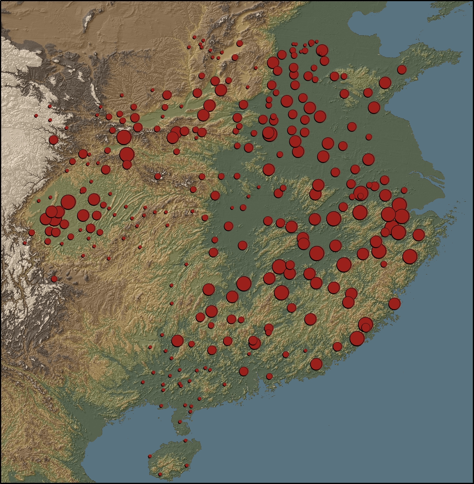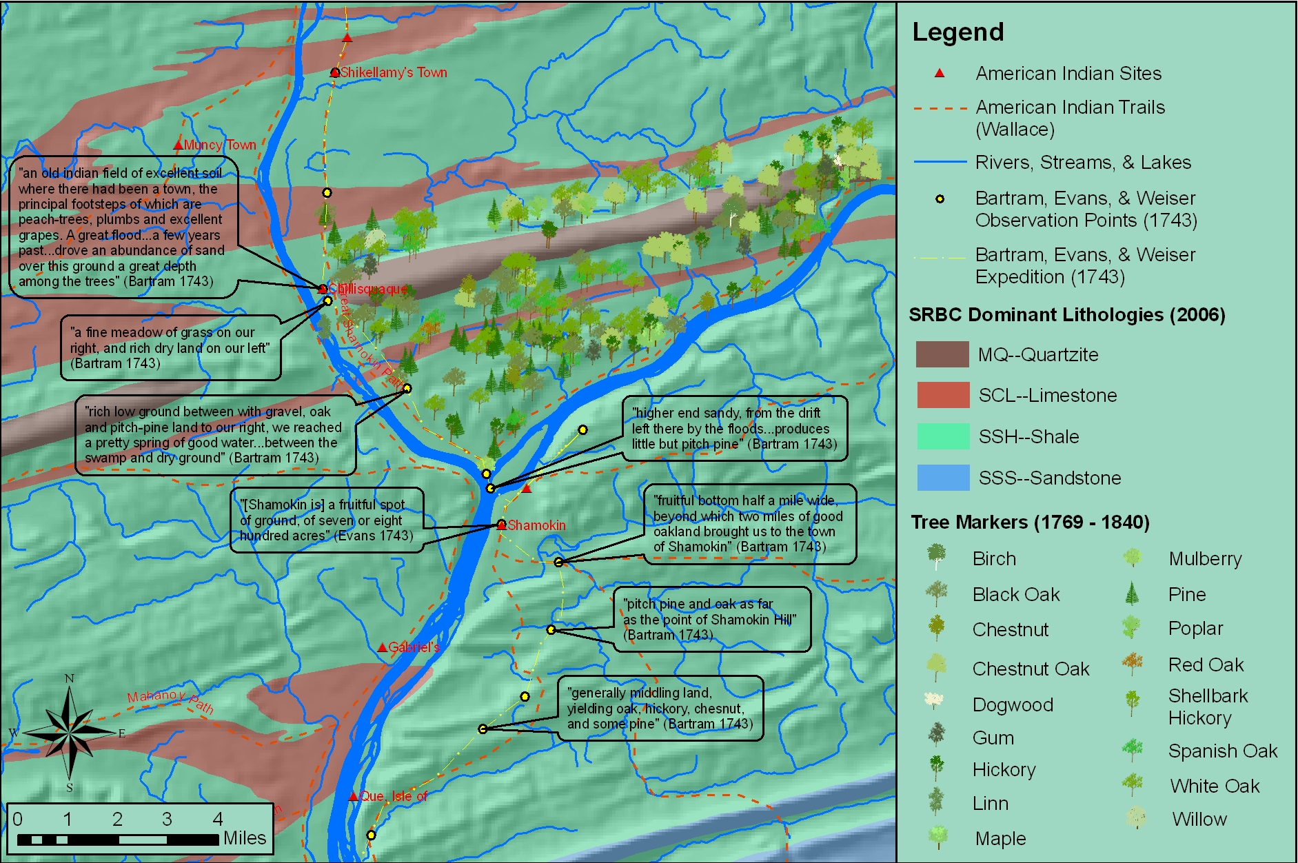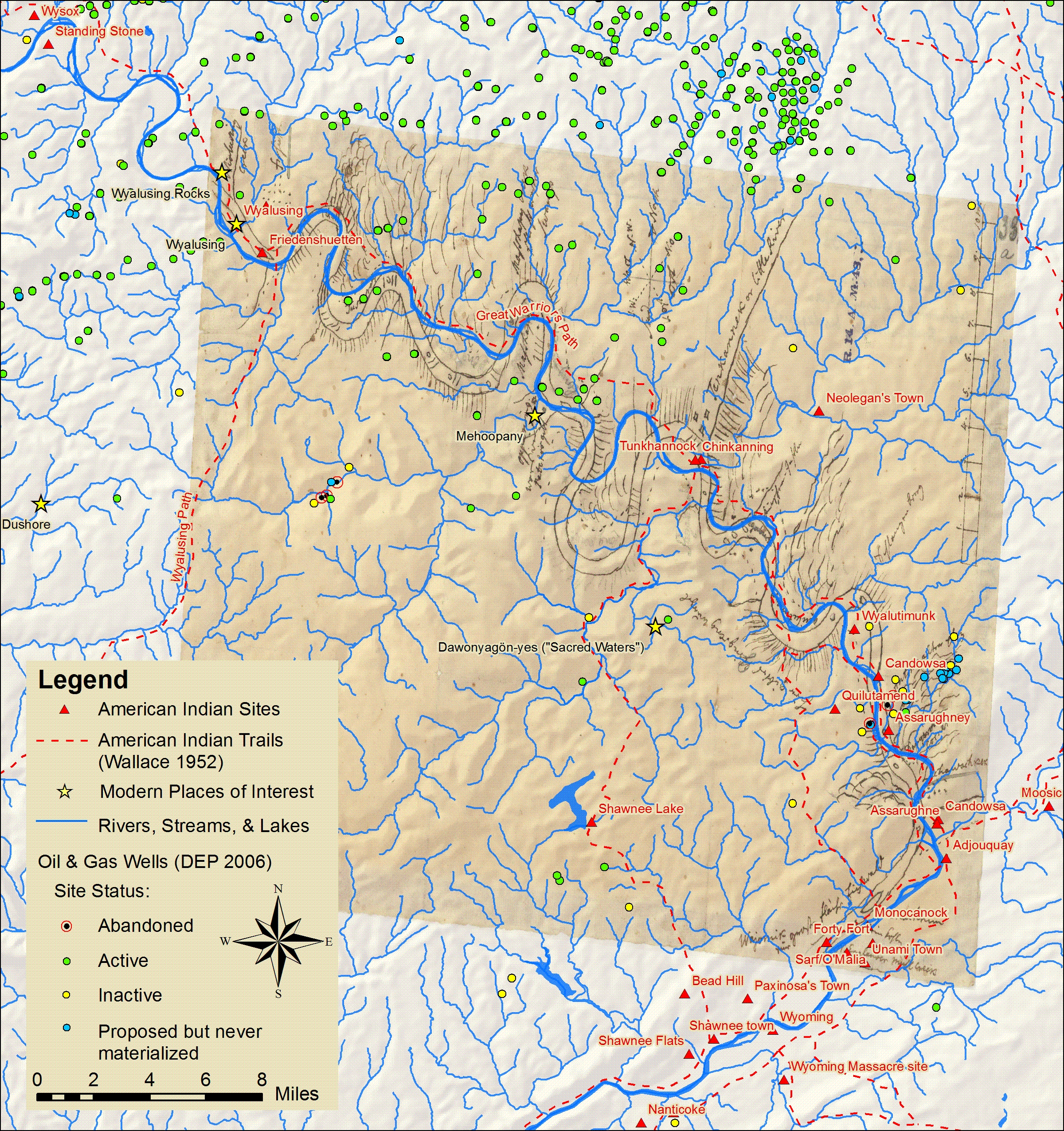
Bucknell faculty have long had an interest in grounding their research efforts locally – using the physical, cultural, historical and sociological landscapes of the Susquehanna Valley region as a living laboratory. The two videos below feature Prof. Katherine Faull and student Emily Bitely ’11 talking about the role of GIS in two such projects – the Stories of the Susquehanna, and the John Smith Trail Extension project (both multi-year, inter-disciplinary projects involving faculty from across the campus).
Katie Faull discussing her use of GIS for the John Smith Trail Extension and Stories of the Susquehanna project:
httpv://www.youtube.com/watch?v=j2eG2v8FnOA
Emily Bitely ’11 discussing her use of GIS for the same projects:
httpv://www.youtube.com/watch?v=1uPcaaqSzII
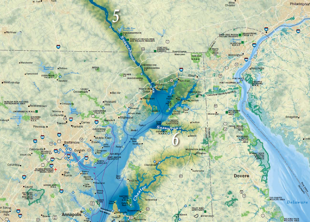
More about the John Smith Trail:
- To learn more about the John Smith Trail, click here or here.
- To view a National Geographic map detailing Captain John Smith’s voyage, click here.
- To view a map of interpretive ‘smart’ buoys located in the river, click here.
More about the Stories of the Susquehanna project:
- A pilot web mapping application featuring two of the ‘Stories of the Susquehanna’ is scheduled to launch this fall. Stay tuned for more details.
- Click here to read about the 2010 Susquehanna Valley Summer Writer’s Institute (SVSWI). The SVSWI project is related to the Stories of the Susquehanna both in the type of local stories it explores and in its use of maps, audio, video, images and text to reflect on those stories in an interactive digital story-telling environment.
- Click here to view the SVSWI’s interactive mapping application featuring students’ reflections on the impact of the Marcellus Shale gas boom on different populations in the Susquehanna Valley region.