In previous posts, I’ve mentioned some of the cool projects that Azavea (a GIS consulting firm in Philly) is involved in. Things like…
- creating a mobile GIS app for cell phone users to find and map the locations of heart defibrillators across Philadelphia…
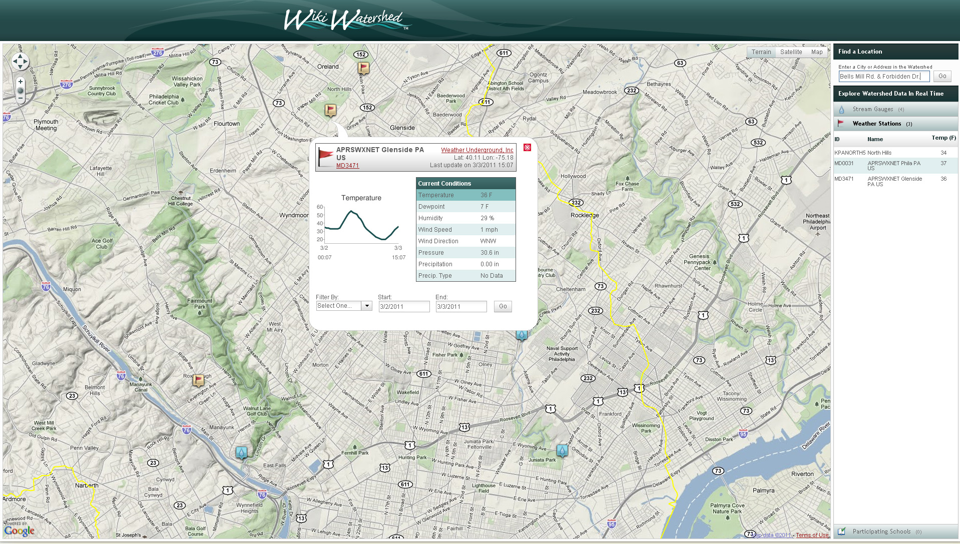
- launching a web map application for students, researchers and concerned citizens to map their watershed and share information about the streams, rivers and natural resources in their communities…
- developing a mobile GIS app that enables cell phone users to view historic photos from PhillyHistory.org draped over the current modern-day landscape
- giving Philadelphians a free, easy-to-use tool for understanding and making their own contribution to the local redistricting process
- making it into Businessweek’s Most Promising Social Entrepreneurs list
Well, here’s your chance to spend a summer working for them. Azavea recently announced a paid internship program for Summer 2012 – but you have to move fast to make the April 2nd application deadline. Here’s the write-up with details and an application form from the Azavea Summer of Maps homepage.
We are pleased to announce the first Azavea Summer of Maps. Inspired by the Google Summer of Code, Summer of Maps is a program that offers stipends to student GIS analysts to perform geospatial data analysis for non-profit organizations. We are going to match up non-profit organizations that have spatial analysis needs with talented students of GIS analysis to implement projects over a three-month period during the summer.
What’s in it for the students?
- Work on a spatial analysis project that supports the social mission of a non-profit organization
- Work with Azavea mentors to improve your GIS skills
- Receive a monthly stipend
- Gain work experience implementing a GIS project
Key dates:
Mar 21 – April 2 – Students submit proposals and applications
April 2 – 13 – Top candidates are interviewed in Philadelphia
April 16 – Azavea announces successful Summer of Maps fellows
May 14 – August 31 – Summer of Maps fellows work on spatial analysis projects