Categories
Bucknell/Local Interest General GIS GIS in Film Studies Slideshow Videos

Mapping wheel-chair access at Bucknell

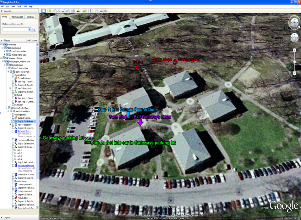
In spring 2010, Bucknell student Kate Matelan, ’10  worked with film professor Eric Faden to produce a documentary film focused on her experiences as a disabled student on campus.  To illustrate the differences between navigating the Bucknell campus in a wheelchair vs. on foot, Kate and I developed a GoogleEarth project with placemarks and travel paths to mark and annotate both her route and an able-bodied student’s route to a class held in Coleman 221.

In the film a 4-panel split screen (aka ’24’ style) approach was used to simultaneously present a GoogleEarth fly-over of each student’s travel path synced to video footage of the students describing the course of their daily trip to Coleman 221. See video excerpt and screenshot from GoogleEarth project below. I’ll make the KML file available as soon as I can figure how to to do that on WordPress.


Video Platform Video Management Video Solutions Video Player

Note: video footage was shot using several cameras including the GoPro Hero and Kodak Zi8. Editing was done in Final Cut Pro.

Categories
Bucknell/Local Interest General GIS GIS in Geography Slideshow Videos

More web tools for helping students understand scale

In previous posts here, here and here I’ve mentioned different resources that can be useful in helping students understand scale.  Joseph Kerski, ESRI’s Education Curriculum Development Manager, recently posted to one of the GIS in higher ed listserves about some new web-based tools for teaching students about scale.

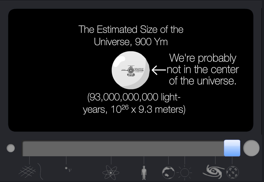
One of the websites, Scale of the Universe (created by Primaxstudio.com), features an interactive graphic that enables users to toggle a slider bar to zoom out from quantum to galactic scales while viewing where a variety of objects and measurements (quarks, bacteria, ostrich eggs, Redwood Trees, Marathon distance, planets, a light year)  fall along that spectrum.

Min                                                                                                   Mid

Max

Max

The other site, Cell Size and Scale (from the Genetics Science Learning Center at the University of Utah), uses the same slider bar device but starts with a 1 square millimeter cell size, a coffee bean and 12 pt Times font and then zooms in – passing an X chromosome, Baker’s yeast, hemoglobin and glucose on the way – until it eventually reaches the size of a carbon atom.


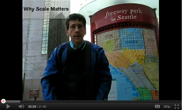
Joseph also shared a link to a movie he created, entitled “Why Scale Matters,” that illustrates concepts related to scale in geography:

httpv://youtu.be/blF0fXMCFZU


Categories
Bucknell/Local Interest Data Environment General GIS GIS in Computer Science GIS in Engineering GIS in Environmental Studies GIS in Geography GIS in Geology Slideshow Videos

Computer science major builds aerial drone for a bird’s-eye view of local stream

Bucknell communications recently published an article on the work that Nick Urban and the other GIS student assistants did this summer for the Miller Run Restoration project.  Excerpt below – click here to read the full article.

LEWISBURG, Pa. – As the son of an aircraft mechanic, Nick Urban learned a thing or two about planes.

The rising senior at Bucknell University started out putting together model airplanes when he was a child but later became more interested in the technology that makes them work.

This summer, Urban, a computer science major from New Jersey, has combined the two interests in a research project in which he is designing, building and flying a remote-controlled aerial drone. The so-called “Flying Bison,” outfitted with video and still cameras and GIS technology, is being used to capture high-resolution images of Miller Run Creek for an ongoing restoration of the waterway that runs through Lewisburg. The data also will be used to assess how well unmanned aerial vehicles monitor environmental change.

“Pretty much all the equipment you would find on a regular plane is squeezed onto this remote-control plane,” Urban said during a recent test flight at the Bucknell University Golf Course. “It has a manual takeoff and landing, but I flip a switch on the transmitter and it will fly itself and navigate on its own.”

Categories
Bucknell/Local Interest Data Environment General GIS GIS in Computer Science GIS in Engineering GIS in Environmental Studies GIS in Geography GIS in Geology Miller Run Restoration Project Slideshow Videos

Video footage from Flying Bison test run

On July 26th, Nick Urban and the summer 2011 GIS team conducted a test flight of the Flying Bison. See video to learn more about the Miller Run Restoration Project and to see footage captured by the drone during its flight.

Thanks to Lindsay Coffee and Erin Murphy for their work on shooting & editing the video footage.

video platform video management video solutions video player

Categories
Bucknell/Local Interest Data Environment General GIS GIS in Engineering GIS in Environmental Studies GIS in Geography GIS in Geology Miller Run Restoration Project Slideshow Videos

Week 1 – Miller Run data collection

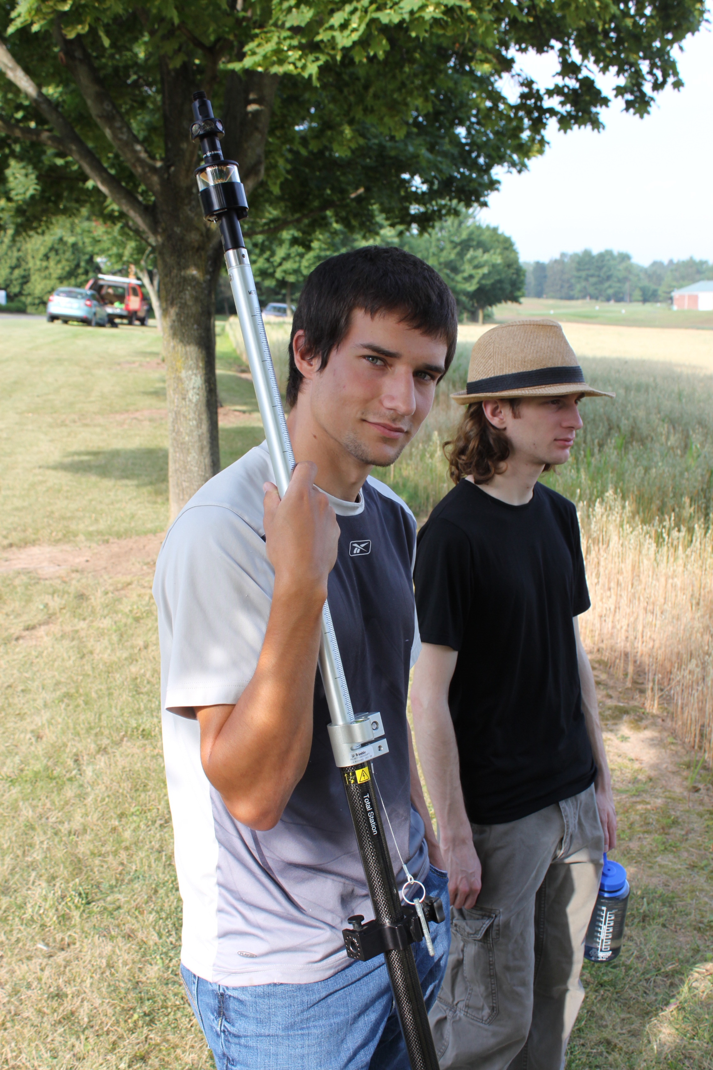
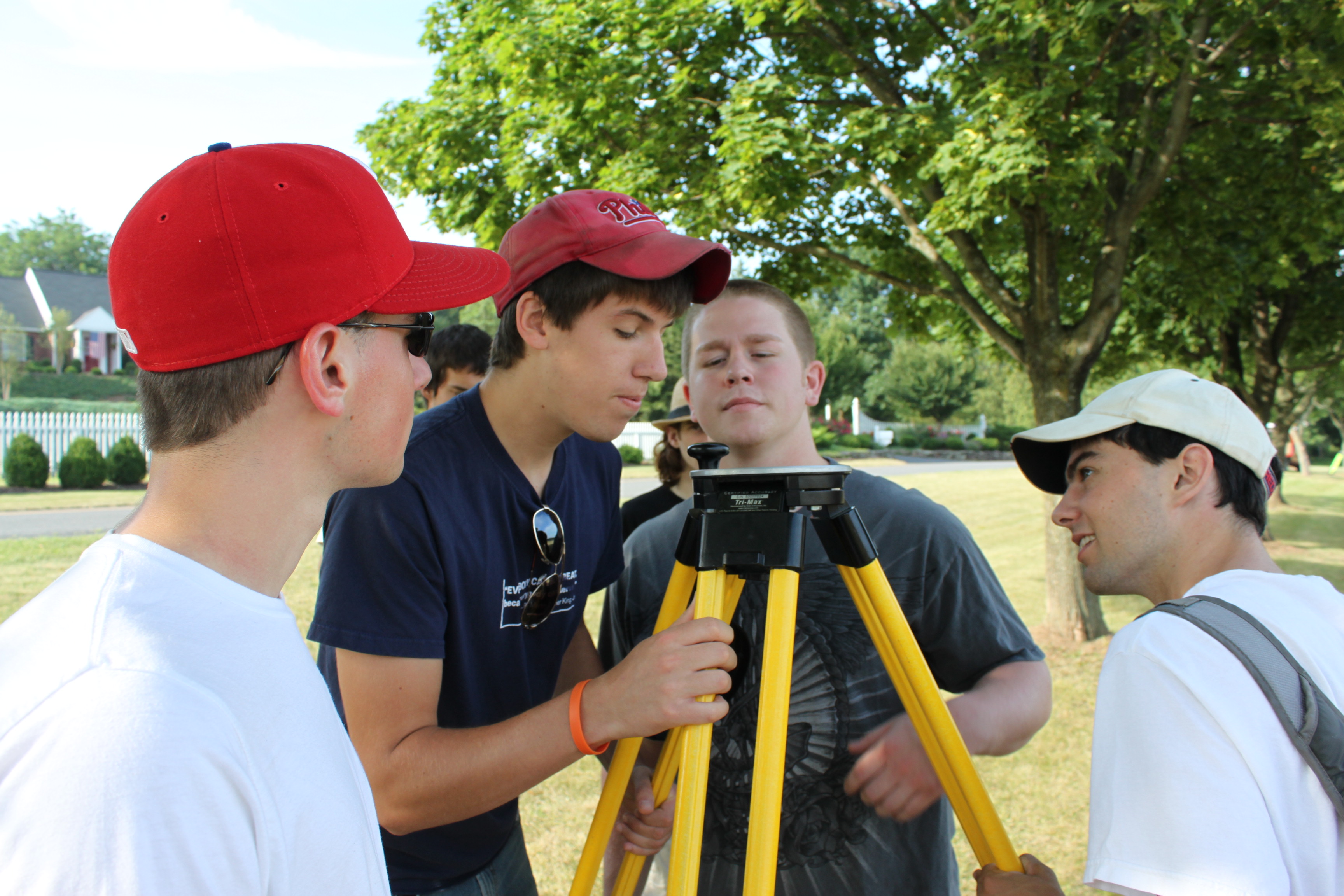
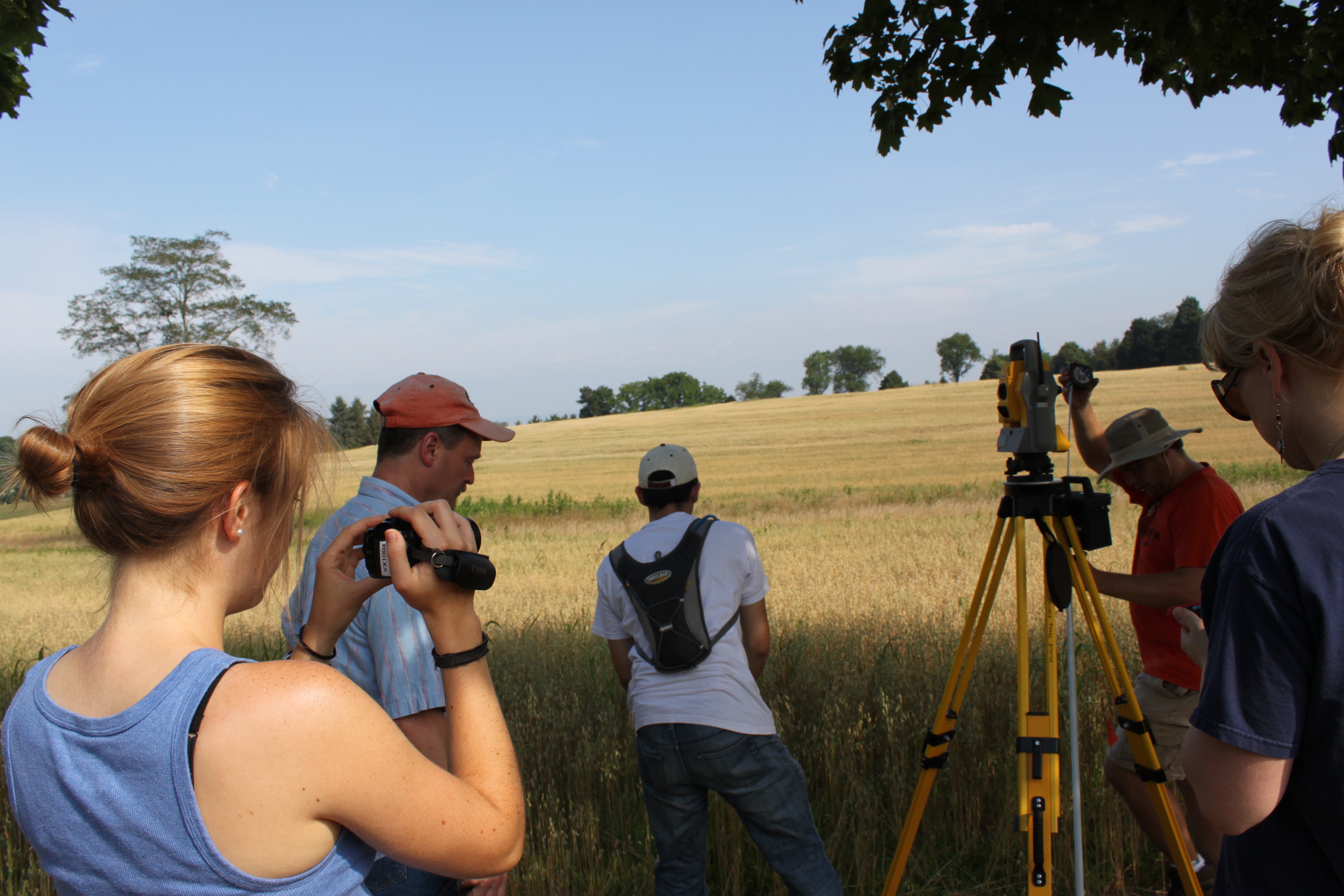
If you’ve driven past the golf course this week you might have noticed some students traipsing around in the underbrush near the driving range and Sunflower day care.  The students are part of Bucknell’s GIS team and they have been collecting high resolution elevation data for the Miller Run restoration project. The students will be out there for another 2-3 weeks (+ or – a week depending on when the oat crop gets harvested – yes, really!). Here’s a short video to describe the work they’re doing. Thanks to Lindsay Coffee, a student video assistant, for taking the footage and producing the clip.

httpv://www.youtube.com/watch?v=-ZzANov_8gA


Day 1 – Leveling (and then re-leveling, and re-re-leveling, etc.)


Day 1:80K dollars worth of equipment in the field… but couldn’t start till we tracked down a $2.99 tape measure


Day 1: ‘WALL-E’ looking for ‘EVE’

Day 1: Mike holding ‘EVE’


Day 1:Darin with the GPS