Categories
Bucknell/Local Interest General GIS GIS in Geography Slideshow Videos

More web tools for helping students understand scale

In previous posts here, here and here I’ve mentioned different resources that can be useful in helping students understand scale.  Joseph Kerski, ESRI’s Education Curriculum Development Manager, recently posted to one of the GIS in higher ed listserves about some new web-based tools for teaching students about scale.

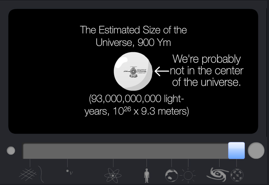
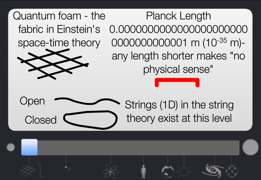
One of the websites, Scale of the Universe (created by Primaxstudio.com), features an interactive graphic that enables users to toggle a slider bar to zoom out from quantum to galactic scales while viewing where a variety of objects and measurements (quarks, bacteria, ostrich eggs, Redwood Trees, Marathon distance, planets, a light year)  fall along that spectrum.

Min                                                                                                   Mid
Max

Max

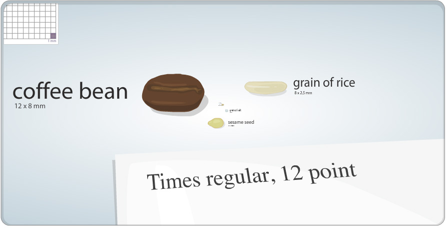
The other site, Cell Size and Scale (from the Genetics Science Learning Center at the University of Utah), uses the same slider bar device but starts with a 1 square millimeter cell size, a coffee bean and 12 pt Times font and then zooms in – passing an X chromosome, Baker’s yeast, hemoglobin and glucose on the way – until it eventually reaches the size of a carbon atom.
 

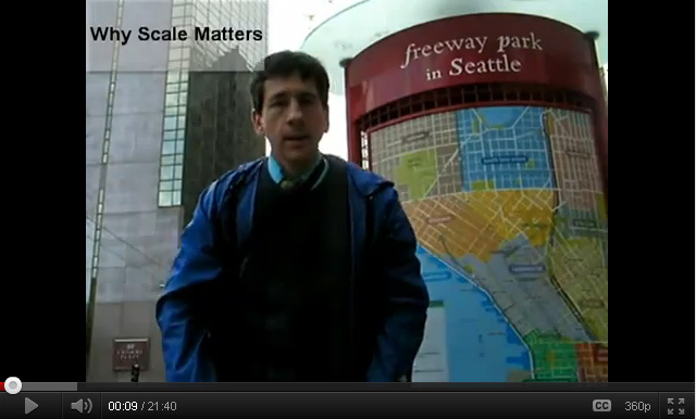
Joseph also shared a link to a movie he created, entitled “Why Scale Matters,” that illustrates concepts related to scale in geography:

httpv://youtu.be/blF0fXMCFZU


By Janine Glathar

Janine Glathar joined the Digital Pedagogy & Scholarship team in 2009 to fill the newly-created role of GIS Specialist at Bucknell. She has worked in the field of geospatial technologies for more than 15 years as research specialist, technical analyst and software trainer. Prior to joining L&IT at Bucknell, Janine spent seven years doing applied GIS research in Philadelphia’s non-profit social services sector as the GIS Senior Analyst for Philadelphia Safe & Sound and the Greater Philadelphia Urban Affairs Coalition. Before transitioning to the social services research world, Janine worked for the GIS software company ESRI as a trainer and education/non-profit coordinator. She earned a B.A. in European History and Russian Language/Literature at the University of Pennsylvania. If you ask Janine where she’s from, she’ll tell you she’s a Navy brat and will probably offer to show you a map of all of the various places she’s lived over the years.

Areas of expertise:
ArcGIS, Digital Pedagogy, Digital Scholarship, GIS, Google Earth, Spatial Thinking