Categories
Bucknell/Local Interest Environment General GIS Map Apps Videos

WikiWatershed – Model My Watershed

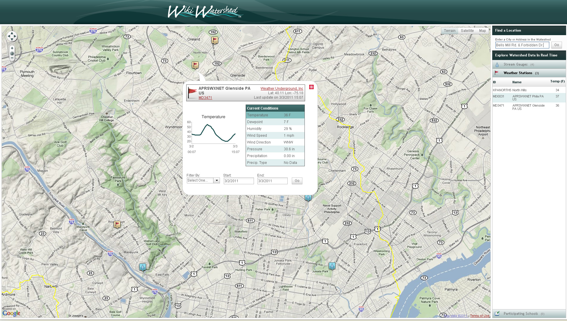
WikiWatershed is another exciting project under development by the team at Azavea.  The project – a collaboration between the Stroud Water Research CenterAzavea, University of Pennsylvania’s Cartographic Modeling Lab and Millersville University –  features a suite of web-based mapping and analysis tools designed for use by students and concerned citizens in sharing information about the streams, rivers and natural resources in their watersheds.  The first component of WikiWatershed to be released is the Model My Watershed tool which allows for web-based modeling of stormwater:

This game-like simulaton will enable students to modify underlying environmental conditions and simulate how these changes to the ecosystem affect the hydrologic cycle in their local watersheds …[and will] will use the latest version of Azavea’s DecisionTree geoprocessing framework to provide high performance, scalable modeling capabilities.

From the Stroud Water Research Center website:

When fully developed, [WikiWatershed] will leverage open source software and will function as an open collaborative resource for the community, enabling users to share geographically-tagged data, photos, videos, comments, educational curricula, simulation models and other tools on streams and rivers. As “Wiki” implies, content will be primarily contributed, enhanced and maintained by the user community. The WikiWatershed™ web portal will link a database of watershed information to geo-tagged visual content viewable on Google Maps®/Earth®, Flickr®, Panoramio®, YouTube®, etc.

Click here to explore the WikiWatershed mapping application.
Categories
Bucknell/Local Interest Crisis-Mapping General GIS GIS in Political Science GIS in Public Health Slideshow Videos

Penn State releases episode 3 of “Geospatial Revolution” series

A new episode of Penn State’s “Geospatial Revolution” project was released today.  With the tagline “the location of anything is becoming everything” the Geospatial Revolution series is produced by Penn State’s public broadcasting group and described as an “an integrated public service media and outreach initiative about the world of digital mapping and how it is changing the way we think, behave, and interact.”  The new episode – part 3 in a 4 part series – focuses on using GIS for public safety and military/defense purposes. Episode 4 is due out on May 1, 2011. See below for the full-length videos for episodes 1, 2 and 3.  Videos are also available for individual chapters within each episode.

Episode 1:

  • Chapter 1 –  Welcome to the Geospatial Revolution
  • Chapter 2-  A look at what GPS is and how it works
  • Chapter 3 – A timeline of mapping and geospatial technology from stones to phones, including mobile technologies
  • Chapter 4 – A look at how crisis mapping and global crowd-sourcing was critical to aid and rescue during the 2010 Haiti earthquake

httpv://www.youtube.com/watch?v=poMGRbfgp38

Episode 2:

  • Chapter 1 – Creating an interactive city
  • Chapter 2 – Powering business
  • Chapter 3 – Finding a healthy future

httpv://www.youtube.com/watch?v=GXS0bsR0e7w

Episode 3:

  • Chapter 1 – Mapping the road to peace
  • Chapter 2 – Waging modern war
  • Chapter 3 – Serving and protecting
  • Chapter 4 – Staying safe

httpv://www.youtube.com/watch?v=OePOK6nzcaY

Categories
Bucknell/Local Interest Events/Calendar General GIS Videos

Open Lab session on Google spreadsheet mapper, docs, sites and video

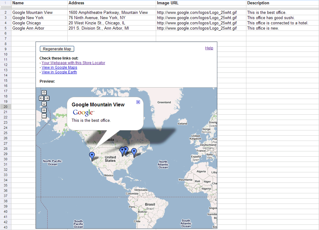
There will be an Open Lab session for faculty in the ITEC office on Tuesday, March 1 from 9am-11am and Wednesday, March 2 from 2pm-4pm. Drop in at any time during the Open Lab hours to learn more about using the Google suite of tools for your teaching or research. The focus next week will be on Google spreadsheet mapper, docs, video and sites. The Open Lab is intended to be an informal workshop setting where you can learn more about tech tools and begin integrating them into your work. Feel free to bring your own data or we can use ours to show you how the tools work.

Categories
Bucknell/Local Interest Digital Humanities General GIS GIS in History GIS in Humanities Slideshow Videos

Digital Gazetteer of the Song Dynasty

There are a million reasons I can think of for wanting to be in Santa Barbara, CA this week but one of them is that I’d love to attend UC Santa Barbara’s ‘Think Spatial’ forum. This week’s presentation features Ruth Mostern from UC Merced discussing her use of Google Earth for teaching undergraduate history courses. In Mostern’s upper division history course about the Silk Road, students read travel narratives and then use Google Earth to create digital atlases about their travelers’ journeys.  Here’s a short video that showcases some of her students’ work:

httpv://www.youtube.com/watch?v=_7I2BJBrLAU

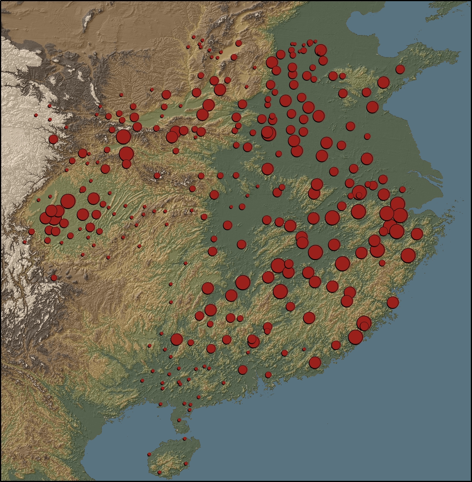
Mostern also makes extensive use of GIS in her research and is co-author of the Digital Gazetteer of the Song Dynasty. The website includes maps and downloadable data for counties and prefectures of the Song Dynasty. A sample map from the gazetteer is shown below.

“This map depicts the ratio of cantons to counties based on the data in the Song history. There is no county-level population data for the Song. The number of cantons in a county is the best proxy for its population. Red areas have a large number of cantons, and blue areas have a small number.”

Categories
General GIS Videos

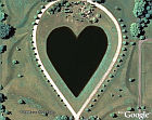
And last but not least, a Google Earth video tour of hearts found on earth…

From GoogleEarthHacks via YouTube:

httpv://www.youtube.com/watch?v=1mYs6gW4b1w