Categories
Bucknell/Local Interest Environment General GIS GIS in Biology Map Apps Slideshow

Stink bug mapping tool

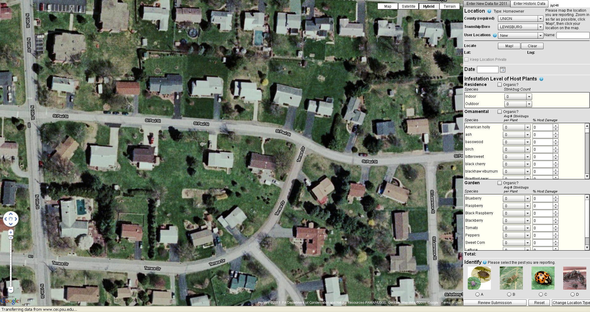
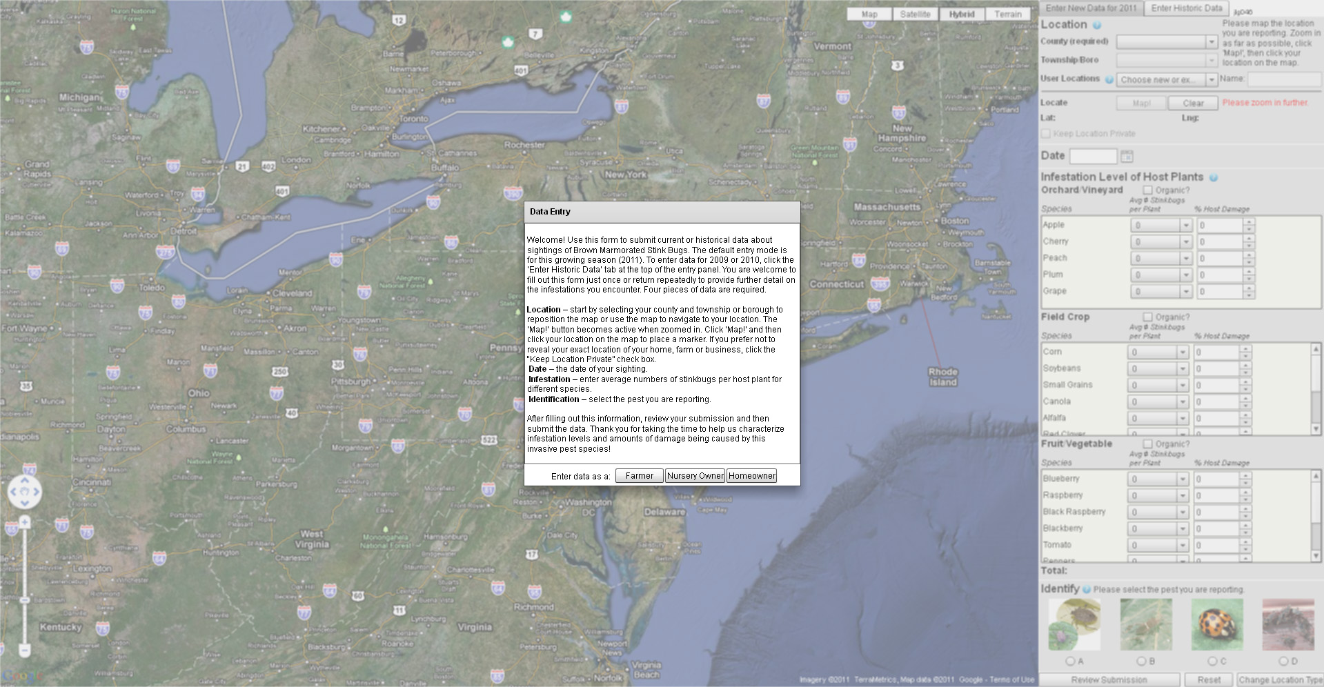
Penn State and the PA Department of Agriculture have just released a new web-based tool for mapping infestations of stink bugs across the state. The mapping tool collects and displays user-submitted data on stink bug sightings. After creating a login ID and passwords, users specify whether they are a farmer, nursery owner or homeowner and then identify their reporting location using either a Google Maps interface and/or a form to specify their county and municipality. Next, the user provides information on the level and type of infestation – including the number of stink bugs per type of tree, plant, and/or crop.

Read a story about the new website here. Click here to visit the Stink Bug website and map app. See below for some screenshots of the website and stink bug reporting interface.


Categories
Bucknell/Local Interest General GIS Slideshow Videos

Penn State releases final episode of “Geospatial Revolution” series

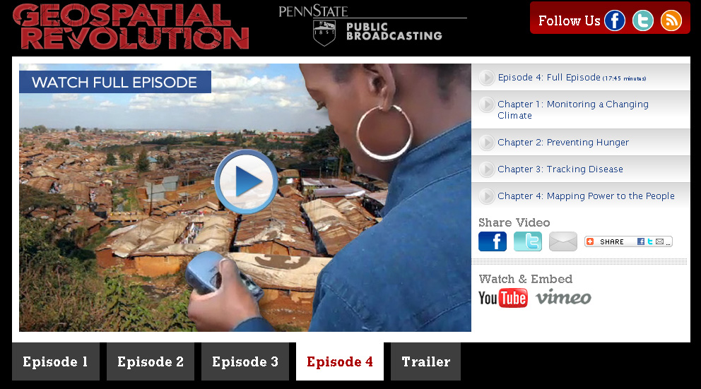
The final installment of Penn State’s “Geospatial Revolution” project was released today.  Click here to learn more about the project and see full-length videos for Episodes 1-3. See below for the full-length video of Episode 4.

Episode 4:

httpv://www.youtube.com/watch?v=9F7z9LLYxf8


Categories
Bucknell/Local Interest Events/Calendar GIS in Public Health Slideshow

Upcoming webinar: GIS and research innovations at Penn State’s GeoVISTA Center

Join me next Tuesday, March 22nd at 2pm for a webinar about GIS research innovations at Penn State’s GeoVISTA Center.  Directions Magazine is hosting the event.  Click here to register and participate on your own – or come by my office in 107a, Research Services, Bertrand Library to watch.  More info from the Directions Magazine ad for the event:

Join Dr. Alan MacEachren, Dr. Alex Klippel and Dr. Krzysztof Janowicz of Penn State’s GeoVISTA Center as they discuss cutting-edge research across the breadth of “GIScience from spatial cognition, through formal geo-information representation, to spatial analysis, cartography and visual analytics. The focus [of the Center] is on developing powerful human-centered methods and technologies that allow scientists and decision makers to solve scientific, social, and environmental problems through computer-supported, visually-enabled analysis of the growing wealth of geospatial data.”

The research projects presented will have real-world ramifications for GIS practitioners whose work involves synthesizing large quantities of data and presenting information in a useful form.

During this webinar, you will learn:
• How academic research in geovisualization and visual analytics is applied in public health and crisis management
• How human factors, such as spatial thinking and cognition, impact the design and development of GIS tools
• How research in the Semantic Geospatial Web, sensor networks, and mobile computing will advance the integration of information

Who Should Attend
This webinar is appropriate for anyone interested in how GIScience research affects the geospatial technology of the near future.



Categories
Bucknell/Local Interest Crisis-Mapping General GIS GIS in Political Science GIS in Public Health Slideshow Videos

Penn State releases episode 3 of “Geospatial Revolution” series

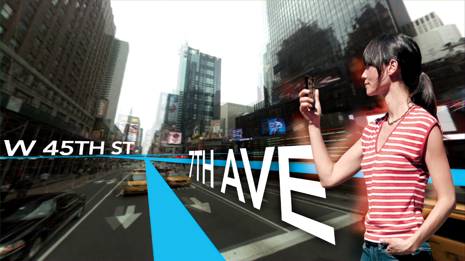
A new episode of Penn State’s “Geospatial Revolution” project was released today.  With the tagline “the location of anything is becoming everything” the Geospatial Revolution series is produced by Penn State’s public broadcasting group and described as an “an integrated public service media and outreach initiative about the world of digital mapping and how it is changing the way we think, behave, and interact.”  The new episode – part 3 in a 4 part series – focuses on using GIS for public safety and military/defense purposes. Episode 4 is due out on May 1, 2011. See below for the full-length videos for episodes 1, 2 and 3.  Videos are also available for individual chapters within each episode.

Episode 1:

  • Chapter 1 –  Welcome to the Geospatial Revolution
  • Chapter 2-  A look at what GPS is and how it works
  • Chapter 3 – A timeline of mapping and geospatial technology from stones to phones, including mobile technologies
  • Chapter 4 – A look at how crisis mapping and global crowd-sourcing was critical to aid and rescue during the 2010 Haiti earthquake

httpv://www.youtube.com/watch?v=poMGRbfgp38

Episode 2:

  • Chapter 1 – Creating an interactive city
  • Chapter 2 – Powering business
  • Chapter 3 – Finding a healthy future

httpv://www.youtube.com/watch?v=GXS0bsR0e7w

Episode 3:

  • Chapter 1 – Mapping the road to peace
  • Chapter 2 – Waging modern war
  • Chapter 3 – Serving and protecting
  • Chapter 4 – Staying safe

httpv://www.youtube.com/watch?v=OePOK6nzcaY