Categories
Bucknell/Local Interest GIS Jobs, Internships, Scholarships & Grad Programs Slideshow

GIS Job Opportunities

Congratulations to rising senior and GIS Student Assistant Darin Rockwell, Geography/Geology ’13, for landing a very competitive GIS internship for summer 2012 with Lockheed Martin. Currently ranked #58 on the Fortune 500 listLockheed Martin is a

global security and aerospace company that employs about 123,000 people worldwide and is principally engaged in the research, design, development, manufacture, integration and sustainment of advanced technology systems, products and services. 

GIS is integrated across Lockheed Martin’s operations and the company recently joined the ESRI Partner Network in order to 

collaborate [with ESRI] on technologies to put online geospatial apps and services in the hands of more military, intelligence, homeland security and emergency response users worldwide…  Lockheed Martin and Esri have previously worked together on several geospatial-intelligence programs for the U.S. Government and international customers. The companies will continue to collaborate on future geospatial opportunities for global customers, with a focus on enterprise GIS solutions that connect desktop and mobile users across a range of devices with a secure worldwide network.
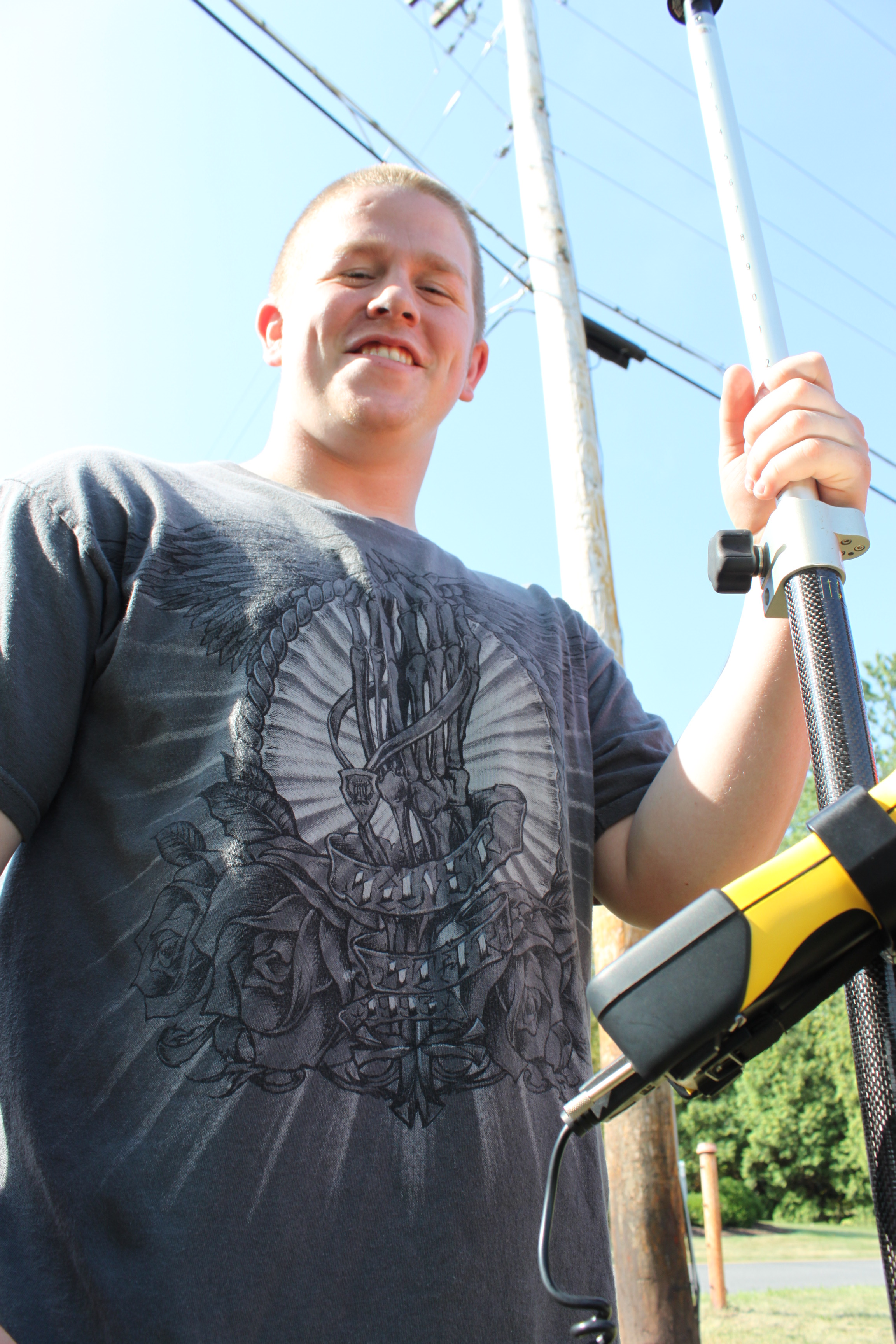

Hopefully at some point this summer we’ll be able to get a guest blog post from Darin about his internship (assuming of course he’s allowed to talk about it!).
Categories
Bucknell/Local Interest Crisis-Mapping General GIS GIS in Political Science GIS in Public Health Slideshow Videos

Penn State releases episode 3 of “Geospatial Revolution” series

A new episode of Penn State’s “Geospatial Revolution” project was released today.  With the tagline “the location of anything is becoming everything” the Geospatial Revolution series is produced by Penn State’s public broadcasting group and described as an “an integrated public service media and outreach initiative about the world of digital mapping and how it is changing the way we think, behave, and interact.”  The new episode – part 3 in a 4 part series – focuses on using GIS for public safety and military/defense purposes. Episode 4 is due out on May 1, 2011. See below for the full-length videos for episodes 1, 2 and 3.  Videos are also available for individual chapters within each episode.

Episode 1:

  • Chapter 1 –  Welcome to the Geospatial Revolution
  • Chapter 2-  A look at what GPS is and how it works
  • Chapter 3 – A timeline of mapping and geospatial technology from stones to phones, including mobile technologies
  • Chapter 4 – A look at how crisis mapping and global crowd-sourcing was critical to aid and rescue during the 2010 Haiti earthquake

httpv://www.youtube.com/watch?v=poMGRbfgp38

Episode 2:

  • Chapter 1 – Creating an interactive city
  • Chapter 2 – Powering business
  • Chapter 3 – Finding a healthy future

httpv://www.youtube.com/watch?v=GXS0bsR0e7w

Episode 3:

  • Chapter 1 – Mapping the road to peace
  • Chapter 2 – Waging modern war
  • Chapter 3 – Serving and protecting
  • Chapter 4 – Staying safe

httpv://www.youtube.com/watch?v=OePOK6nzcaY

Categories
Bucknell/Local Interest Digital Humanities General GIS Slideshow Videos

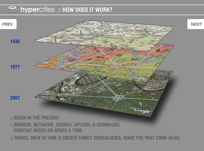
GIS and Digital Humanities – the History Engine and Hypercities

Click here (click on link for ‘Archived Program Recording’ in upper right hand corner) to watch a recorded presentation about two exciting digital humanities projects that have been built around GIS and other geospatial technologies.

The presentation, part of the NITLE next Digital Scholarship Seminar Series includes presentations by Scott Nesbit (Assoc. Director of the Digital Scholarship Lab) and Todd Presner (Director, Germanic Languages, Comparative Literature, and Digital Humanities, UCLA) onThe History Engine and Hypercities projects, respectively.

Categories
Bucknell/Local Interest General GIS GIS Jobs, Internships, Scholarships & Grad Programs

Bucknell GIS Student Assistant wins scholarship

Belated congratulations to Dan Ladd for winning a highly competitive scholarship from the United States Geospatial Intelligence Foundation (USGIF). Dan, a 2010 graduate of Lewisburg High School and a summer GIS Student Assistant at Bucknell, was one of only three high school seniors in the nation selected for the scholarship and is currently studying geography at Middlebury College in Vermont. Congratulations, Dan!