Categories
Bucknell/Local Interest Events/Calendar General GIS GIS in Computer Science

iExplorePAtrails Mobile Competition

Harrisburg University and the PADCNR recently announced the iExplorePAtrails Mobile Competition. The contest encourages developers from PA universities and beyond to develop mobile applications that combine data on PA trails with other data and user content. The goal is to create ‘mash-ups’ that encourage use of Pennsylvania’s 1,000s of miles of trails and enhance the fun that trail users can have. The contest deadline is April 15th – click here for more information.

Categories
Bucknell/Local Interest General GIS GIS in Geography GIS in Political Science GIS in Sociology

Mapping America block by block

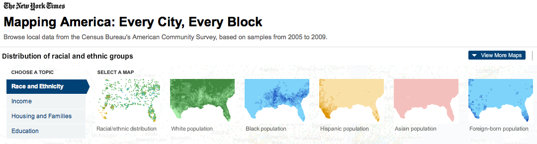
The front page of yesterday’s New York Times featured maps and stories based on recently-released data from the U.S. Census Bureau’s American Community Survey. As described by the team at Social Explorer, “the latest [American Community Survey] figures are the single largest data release in the Census Bureau’s history, providing a look for the first time since 2000 at a variety of characteristics, including income, race, immigration and commuting habits for people in areas as small as just a few square blocks.”

A number of searchable, interactive maps – developed jointly by the New York Times and Social Explorer – accompany the articles. Click here to explore the maps. Click below to read the articles.

“Region is Reshaped as Minorities Go to Suburbs”
“Immigrants Make Paths to Suburbia, Not Cities”
“Samples of Highs and Lows from Around the Country”

Categories
Bucknell/Local Interest Digital Humanities Environment General GIS GIS in Environmental Studies GIS in Humanities Marcellus Shale Slideshow

Tour the front lines of the Marcellus Shale boom with students from the Susquehanna Valley Summer Writer’s Institute

In Summer 2010, a team of five Bucknell undergrads participated in the Susquehanna Valley Summer Writer’s Institute with the goal of collecting and reporting stories of how the Marcellus Shale gas-drilling boom is transforming communities and cultural landscapes. Given how central geography is to the story of the Marcellus Shale boom, it was quickly agreed that the most powerful way to share this work would be through embedding the emerging, evolving stories into a clickable, interactive map – giving users the ability to interactively explore and engage with the material.  The map for the Summer 2010 project was built using the Google Maps API but plans are underway to implement ArcGIS Server technology to add additional functionality and interactivity.  Thanks to Mike Weaver from ITEC for his work in building the Google Maps site!