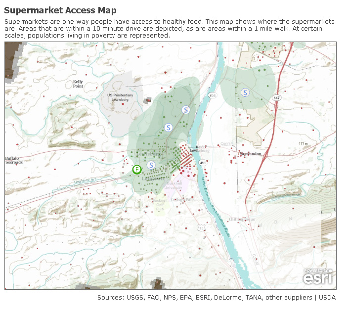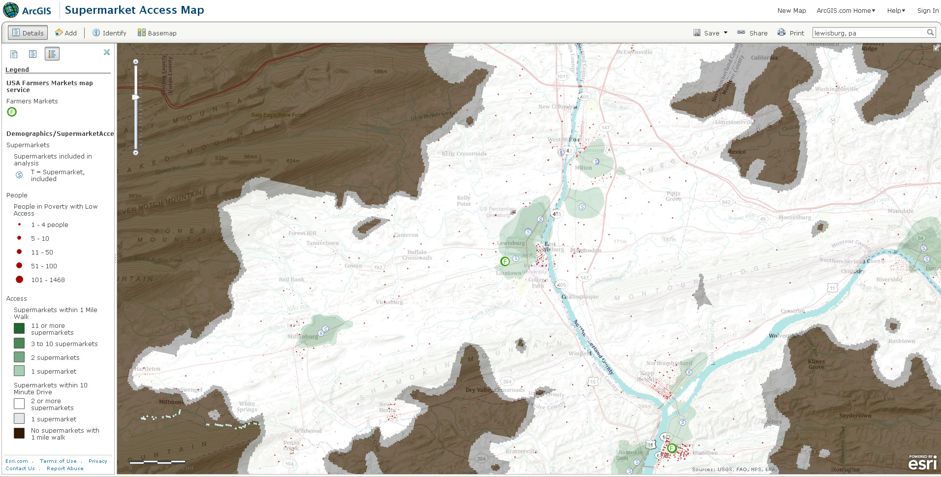
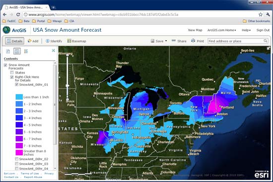
If you’re the type of person who loads up on bread and milk at the first hint of snowfall, then ArcGIS Online is your new best friend. Using ArcGIS Online you can create a map showing projected snowfall amounts for your area along with the locations of nearby supermarkets. The ArcGIS Online Gallery has free basemaps that you can use to create quick and easy mash-ups online, stream directly into your ArcGIS map project, or (in many cases) download the raw data to use in whatever way you want. The basemaps shown below for snowfall forecasts and supermarket access are just two of the dozens of basemaps you can choose from in the ArcGIS Online Gallery.
Read more about this on the ESRI ArcGIS Online blog.
ArcGIS Online Basemaps
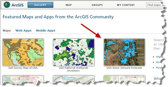
Snowfall forecast map
Supermarket access in Lewisburg