Categories
Bucknell/Local Interest General GIS GIS in Geography GIS in Political Science GIS in Sociology

Mapping America block by block

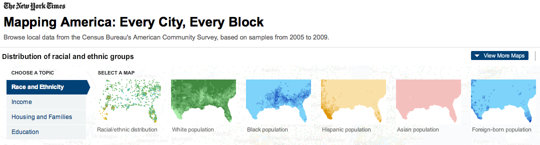
The front page of yesterday’s New York Times featured maps and stories based on recently-released data from the U.S. Census Bureau’s American Community Survey. As described by the team at Social Explorer, “the latest [American Community Survey] figures are the single largest data release in the Census Bureau’s history, providing a look for the first time since 2000 at a variety of characteristics, including income, race, immigration and commuting habits for people in areas as small as just a few square blocks.”

A number of searchable, interactive maps – developed jointly by the New York Times and Social Explorer – accompany the articles. Click here to explore the maps. Click below to read the articles.

“Region is Reshaped as Minorities Go to Suburbs”
“Immigrants Make Paths to Suburbia, Not Cities”
“Samples of Highs and Lows from Around the Country”
By Janine Glathar

Janine Glathar joined the Digital Pedagogy & Scholarship team in 2009 to fill the newly-created role of GIS Specialist at Bucknell. She has worked in the field of geospatial technologies for more than 15 years as research specialist, technical analyst and software trainer. Prior to joining L&IT at Bucknell, Janine spent seven years doing applied GIS research in Philadelphia’s non-profit social services sector as the GIS Senior Analyst for Philadelphia Safe & Sound and the Greater Philadelphia Urban Affairs Coalition. Before transitioning to the social services research world, Janine worked for the GIS software company ESRI as a trainer and education/non-profit coordinator. She earned a B.A. in European History and Russian Language/Literature at the University of Pennsylvania. If you ask Janine where she’s from, she’ll tell you she’s a Navy brat and will probably offer to show you a map of all of the various places she’s lived over the years.

Areas of expertise:
ArcGIS, Digital Pedagogy, Digital Scholarship, GIS, Google Earth, Spatial Thinking