Categories
General GIS GIS in Art Slideshow Videos

From the wilderness downtown to a Grammy win

In honor of Arcade Fire’s Grammy win last night for album of the year, here’s a link to their video/interactive map app for song ‘We Used to Wait’ from The Suburbs.  You’ll have to download Google Chrome to experience “The Wilderness Downtown” but it’s worth the couple of seconds it’ll take to do it. As mashable.com put it, “it’s basically one big ball of HTML5/Google Maps/musical goodness.”

Categories
General GIS GIS in Art

Map Your Music Memories

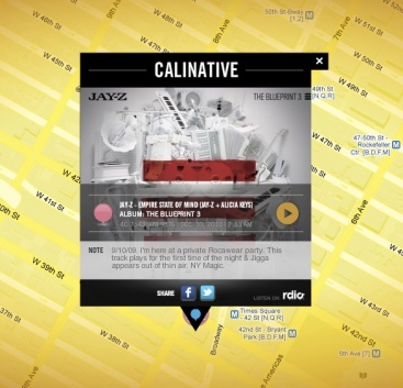
The Grammys and Music Is Life, Life is Music have launched  a new mobile app that allows you to tag locations on a map with a music marker – could be the club you’re going to see a show at later this weekend, the place you heard a song for the first time, or any other music-related comment or memory.

From the Grammys blog:

“You can share your tag by posting to your Facebook profile or Twitter account. The app integrates with Flickr and Foursquare data by highlighting concert venues via Foursquare, and promoting Flickr photo data of GRAMMY-related artists and venues.

As more users tag the map, you’re able to view what music inspires others at any given location, such as your neighborhood, a popular venue or your favorite travel destination. I’d argue the coolest part about the app is that several featured artists will be using the app and their tags are featured on the map by a special marker. For example, by filtering the map for music artists, you can see several tags and notes posted by Katy Perry. The Recording Academy says more artists will be featured within the app as we get closer to the 53rd GRAMMY Awards.”

Here’s one of JayZ’s music memories:

Categories
Bucknell/Local Interest General GIS

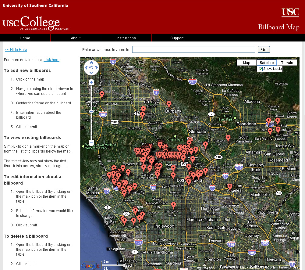
USC student uses crowdsourcing to map billboard locations

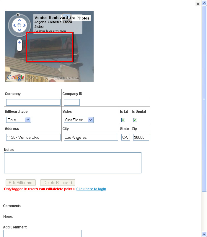
From Directions Magazine’s All Points Blog,  “A Ph.D. Candidate in spatial science at USC, Elisabeth Sedano, has developed a Website that tracks and maps the visual eyesores in hopes of creating LA’s first database of billboard locations. The project uses crowdsourcing to capture the data.”

Categories
Bucknell/Local Interest General GIS GIS in Computer Science

iBucknell mobile app now available on iTunes

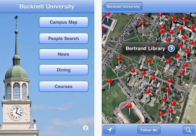
Prof. Rick Zaccone and student Aurimas Liutikas ’12 developed iBucknell, a new mobile app with a campus map, phone directory, news and menus.  Click here to read about the project and here for the free download from itunes.

Categories
Crisis-Mapping General GIS GIS in Political Science Slideshow

Egypt Events Map

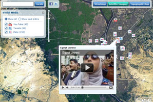
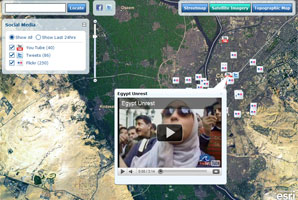
Follow the events unfolding in Egypt in real-time by using the Egypt Events Map to track social media posts in the region. The interactive map app is hosted by ESRI and provides live feeds from Twitter, YouTube and Flicker.