Categories
General GIS GIS in Art

Map Your Music Memories

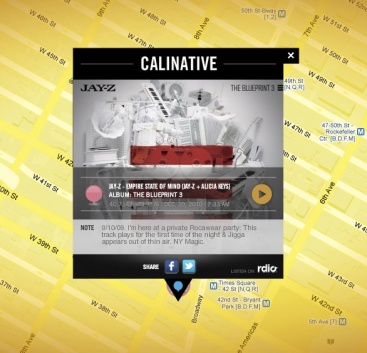
The Grammys and Music Is Life, Life is Music have launched  a new mobile app that allows you to tag locations on a map with a music marker – could be the club you’re going to see a show at later this weekend, the place you heard a song for the first time, or any other music-related comment or memory.

From the Grammys blog:

“You can share your tag by posting to your Facebook profile or Twitter account. The app integrates with Flickr and Foursquare data by highlighting concert venues via Foursquare, and promoting Flickr photo data of GRAMMY-related artists and venues.

As more users tag the map, you’re able to view what music inspires others at any given location, such as your neighborhood, a popular venue or your favorite travel destination. I’d argue the coolest part about the app is that several featured artists will be using the app and their tags are featured on the map by a special marker. For example, by filtering the map for music artists, you can see several tags and notes posted by Katy Perry. The Recording Academy says more artists will be featured within the app as we get closer to the 53rd GRAMMY Awards.”

Here’s one of JayZ’s music memories:

Categories
Bucknell/Local Interest Environment General GIS

Conservation map competition

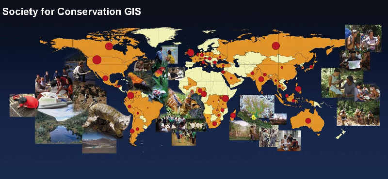
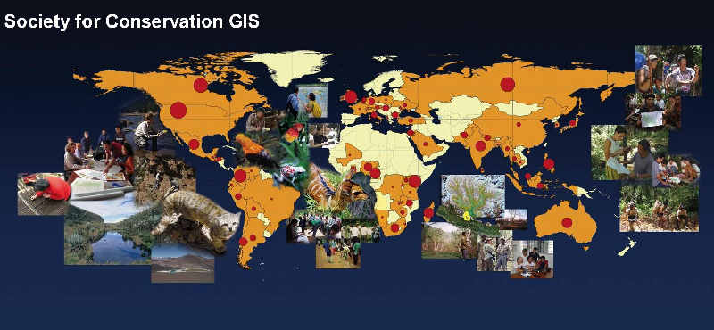
Sponsored by Esri and the Society for Conservation GIS

ESRI and the Society for Conservation GIS (SCGIS) are sponsoring a map competition. Deadline is midnight, March 15th, 2011. Entries must use ArcGIS software and have a focus on an existing conservation project or program. See list of prizes below. Click here for more info.

$5,000 – Grand Prize (Best Exemplifies Conservation Mapping)
$1,000 – Best Traditional Cartography
$1,000 – Best Interactive Web Map
$1,000 – Best Use of Science
$1,000 – Best Innovation
$1,000 – Best Societal Impact

Categories
Bucknell/Local Interest General GIS

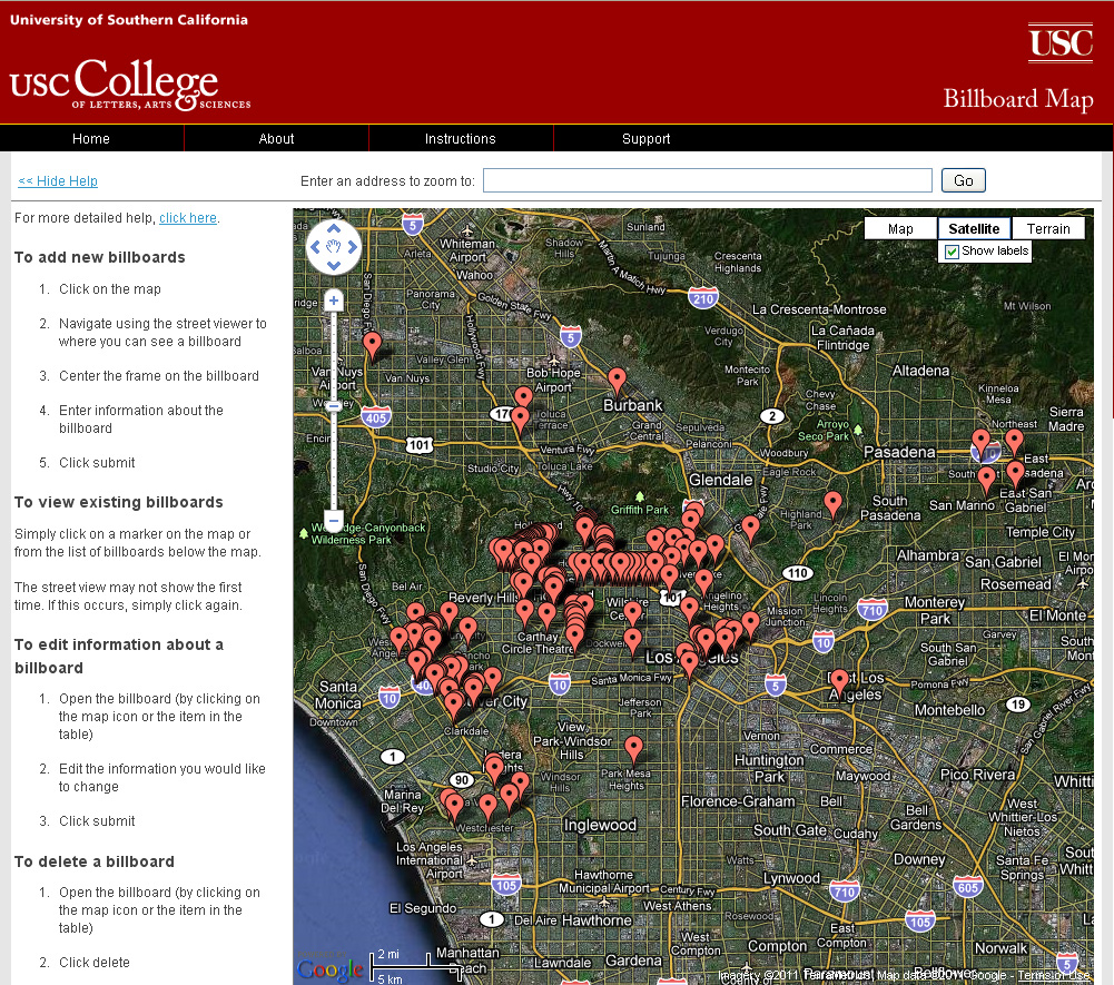
USC student uses crowdsourcing to map billboard locations

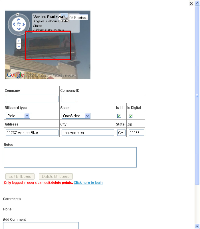
From Directions Magazine’s All Points Blog,  “A Ph.D. Candidate in spatial science at USC, Elisabeth Sedano, has developed a Website that tracks and maps the visual eyesores in hopes of creating LA’s first database of billboard locations. The project uses crowdsourcing to capture the data.”

Categories
Bucknell/Local Interest Digital Humanities Events/Calendar General GIS Slideshow

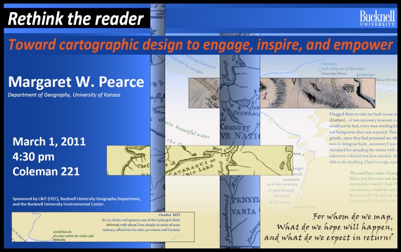
Upcoming lecture by Margaret Pearce

Tuesday, March 1st @ 4:30pm (Coleman 221)

“Rethink the reader: Toward cartographic design to engage, inspire and empower”

Come hear Margaret Pearce from the University of Kansas talk about map visualization and cartographic design.  Dr. Pearce is a geographer who works on cartographic representation of cultural and historical geographies, especially Indigenous geographies.  Her work is inspired and influenced by emerging ideas in critical cartography, affective technologies, and the focus on place in Indigenous studies.  She has published in journals such as Cartography and Geographic Information Science, American Indian Culture & Research Journal, and Cartographic Perspectives, and has co-authored a book, with O. Dwyer, Exploring Human Geography with Maps.

Categories
Bucknell/Local Interest Digital Humanities Environment General GIS GIS in History GIS in Humanities Marcellus Shale Slideshow

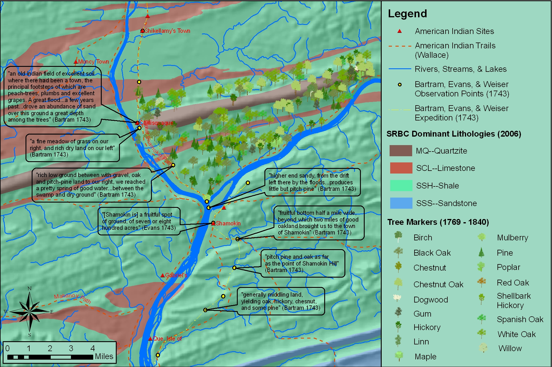
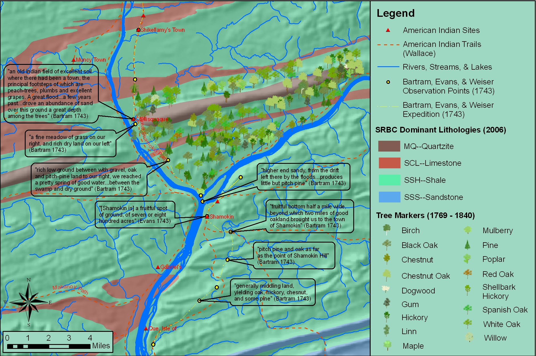
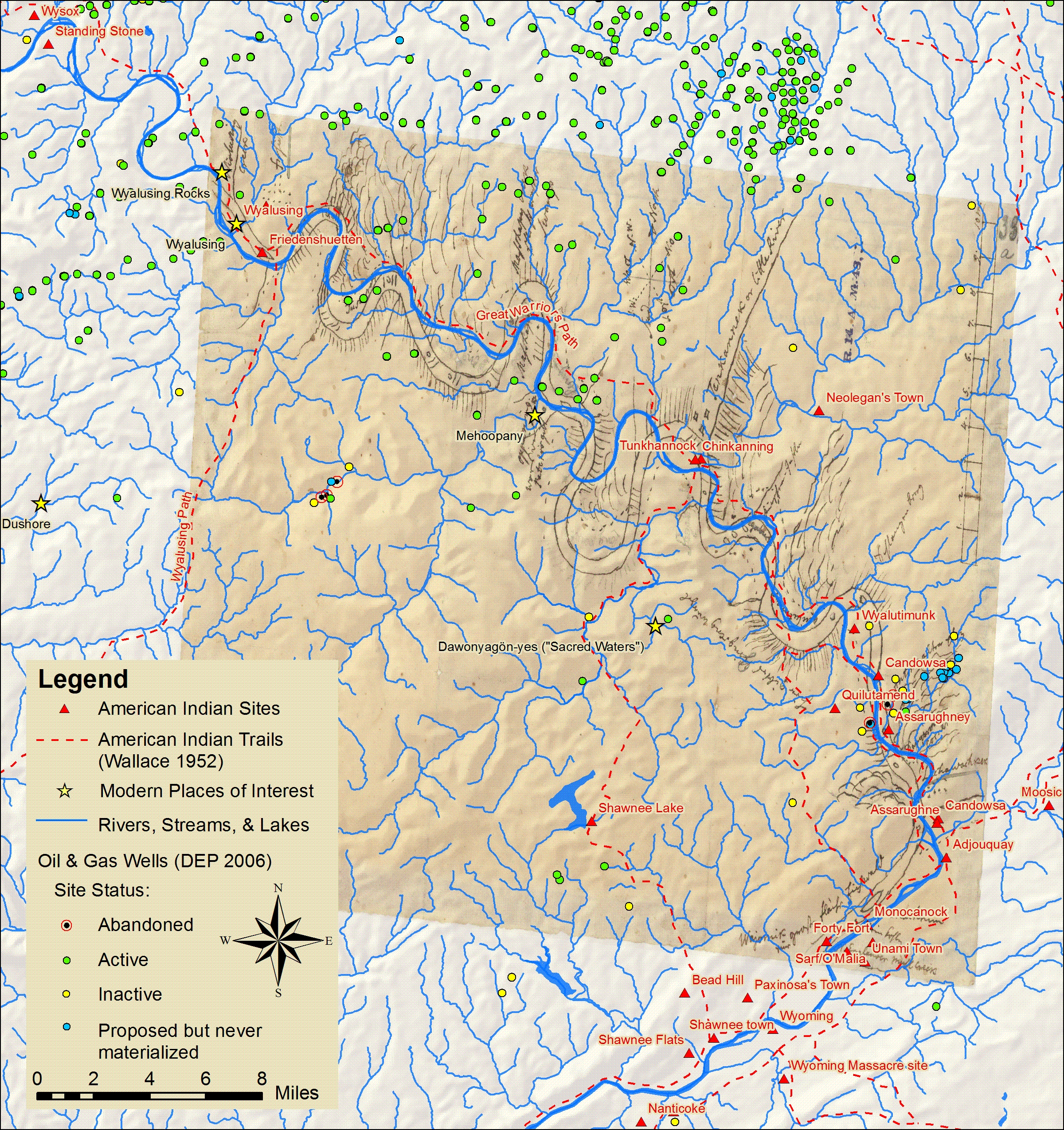
Ask the expert: Katie Faull on maps, Moravian diaries and Native American history

In the BU homepage’s February ‘Ask the Expert’ interview, Prof. Katie Faull discusses her research on the 18th Century Moravian settlers and Native Americans who inhabited the Susquehanna watershed region. With the help of her research assistant, Emily Bitely ’11, Prof. Faull has made extensive use of GIS in reconstructing 18th Century landscapes of the Susquehanna.  Read the interview here.

Sample map constructed from witness tree markers and georeferenced historic maps:

Sample map showing locations of Native American sites, trails and sacred places in relation to Marcellus Shale gas drilling.