Categories
Bucknell/Local Interest GIS in Geography GIS in History GIS in Humanities GIS Jobs, Internships, Scholarships & Grad Programs Slideshow

Summer 2013 GIS student research opportunities in Connecticut, California and Hawaii

Yes, we’re in the middle of a deep freeze, but it’s not too early to start thinking about summer 2013. Here are two opportunities for undergraduate students to do GIS research and field work. Both programs provide a stipend, housing and expenses. Deadlines are approaching fast so get moving if you want to apply for these!

(1) GIS Approach to Water Level Change – Keck Geology Consortium. Application deadline February 1, 2013. 

This project funds three students on a GIS project analyzing water levels, island area, and plant species richness for a study site in the Great Lakes. The students then continue with the project independently into the fall semester and present their work at the Keck Geology Consortium Undergraduate Research Symposium in the spring.

What: Investigation of spatiotemporal changes in island shorelines due to water-level changes using the mapping and analytical tools of a geographic information system (GIS). Study area is The Massasauga Provincial Park archipelago (Georgian Bay, Lake Huron, Ontario)

When: July 10 – August 7

Where: Wesleyan University. The project consists mainly of spatial analyses using ArcGIS but will also include training in field data collection.

(2) NSF REU – Geospatial Research and Mapping (GRAM) program. Application deadline March 1st, 2013

Geography and Archaeology undergraduates, as well as others interested in the study of landscapes, may be interested in our summer 2013 field program on geospatial research and mapping (GRAM) that will take place at both California State University Long Beach and at the famous* Kualoa Ranch in the picturesque Ka’a’awa valley on the north shore of O’ahu.

This field research program is a joint effort between faculty in the Department of Geography and Anthropology at CSULB and is focused on the use of cutting edge geospatial techniques (e.g., satellite and aerial imagery, the use of UAVs, geographic information systems, spectral analyses, topography generation, landscape analyses, and near surface remote sensing).   The research being undertaken by GRAM includes the study of prehistoric landscapes as well as contemporary resources and environments.

Our website (http://www.csulb.edu/colleges/cla/departments/geography/nsf-reu/) describes the overall program and include the research of last year’s students, the application form and additional program information. This is the second year of our 3 year project funded by the National Science Foundation (NSF) under their Research Experience for Undergraduates (REU) program.

This year’s GRAM project will take place June 2 to June 30 and include training in Long Beach and on Oahu. The NSF-REU program provides funding for student to cover travel, housing, tuition costs as well as a small stipend. Applications are competitive and open to undergraduates across the country.

The site of the field work is famously known as the location of the filming for Lost, Jurassic Park, among other TV shows and films.

Categories
Events/Calendar GIS Jobs, Internships, Scholarships & Grad Programs Slideshow

GIS Job Opportunities – Webinar on Careers in GIS & Remote Sensing

Thinking about a career in remote sensing and/or GIS? If so, check out this webinar that will be held on Thursday, Nov. 8th at 1pm EST.

Students and young professionals are invited to attend the first Careers in Remote Sensing and GIS Webinar, presented by the Geological Remote Sensing Group for North America. The format will be short presentations and Q&A from Professionals at mid- and advanced-career stages on their experience, and also predictions as to the geospatial job market in the next five years.  If you are a student finishing studies in the near future and looking for advice on career options or a Young Professional looking for new directions, this may provide you with an insight on how to move up in the Remote Sensing and GIS world. This webinar will provide information about careers in Remote Sensing, including:

  • Key skill sets for a career in remote sensing
  • Advantages and challenges of remote sensing jobs in Academia, Consulting and Industry
  • Is getting a PhD necessary for a job in remote sensing
  • How often do these jobs come up? How hard are they to find?

Speakers include:

  • Conrad Wright, Chief Business Development Officer, SpecTIR
  • Dr. Chuck Kluth, Distinguished Scientist, Petroleum Geology, Department of Geology and Geological Engineering, Colorado School of Mines
  • Lori Wickert,Remote Sensing and Spectral Geologist and Principal Consultant – Remote Sensing to Newmont Mining’s Remote Sensing and Regolith Terrain Mapping, Global Exploration Solution’s Group.
  • Ralph Baker, Senior Consulting Geologist
Categories
Bucknell/Local Interest Digital Humanities Events/Calendar GIS & Environmental Justice GIS by Academic Discipline GIS in Art GIS in Biology GIS in Computer Science GIS in Economics GIS in Engineering GIS in Environmental Studies GIS in Film Studies GIS in Geography GIS in Geology GIS in History GIS in Humanities GIS in Political Science GIS in Psychology GIS in Public Health GIS in Social Science GIS in Sociology GIS in Women's Studies GIScience, Pedagogy & Spatial Thinking Slideshow

Register & Submit Presentations for Bucknell-hosted GIS conference

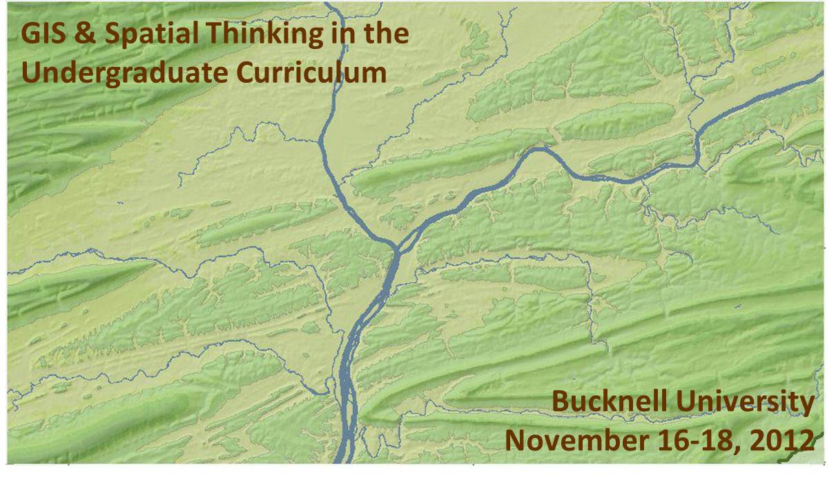
We recently launched the conference website for the upcoming Bucknell-hosted conference GIS & Spatial Thinking in the Undergraduate Curriculum.  Basic info is shown below, but please check out the conference website for details and updates as they become available.

About the Conference:

  • When: November 16-18, 2012
  • Where: Bucknell University, Lewisburg, PA. Click here for a map.
  • Details: Click on the pages shown on the menu above to access information onregistrationlodging, conference schedule, and submitting presentations and maps.
  • Deadlines:  Deadline for early bird registration is September 15, 2012. Deadline forsubmitting presentations and maps is September 21, 2012.
  • Format:  We have chosen a work-group format for the conference in order to maximize opportunities for discussion and brain-storming amongst participants. The main day of the conference will feature five work-group sessions. Each session will consist of 45 minutes of presentations and 45 minutes of open discussion organized around a theme. We are seeking 3 presenters and 1 chairperson for each of the 5 sessions. See the submissions page for a detailed description of each of the session topics:
    • 1a (Concurrent with 1b) – Mapping Human Activity – Qualitative Analysis GIS
    • 1b (Concurrent with 1a) – Quantitative Analysis & Technical Applications of GIS
    • 2   (Single group) – GIS in Pedagogy
    • 3a (Concurrent with 3b) – GIS in Community Outreach & Service Learning
    • 3b (Concurrent with 3a) – Software & Data Issues in GIS Instruction
  • Goals: Desired outcomes include: (1) providing mutual support for imaginative and challenging applications of spatial technology in undergraduate education; (2) fostering potential collaborative efforts between and within participant schools, such as joint research initiatives and/or shared resources for data, web maps and teaching materials, and; (3) creating a regional community of faculty and GIS/IT staff to interact on a regular basis, share information, and exchange ideas about the priorities identified during the conference.

This event is sponsored by Library & Information Technology at Bucknell University. Should you have any questions, please contact Janine Glathar at jlg046@bucknell.edu or (570) 577-1990.


Categories
Bucknell/Local Interest GIS Jobs, Internships, Scholarships & Grad Programs Slideshow

GIS Job Opportunities

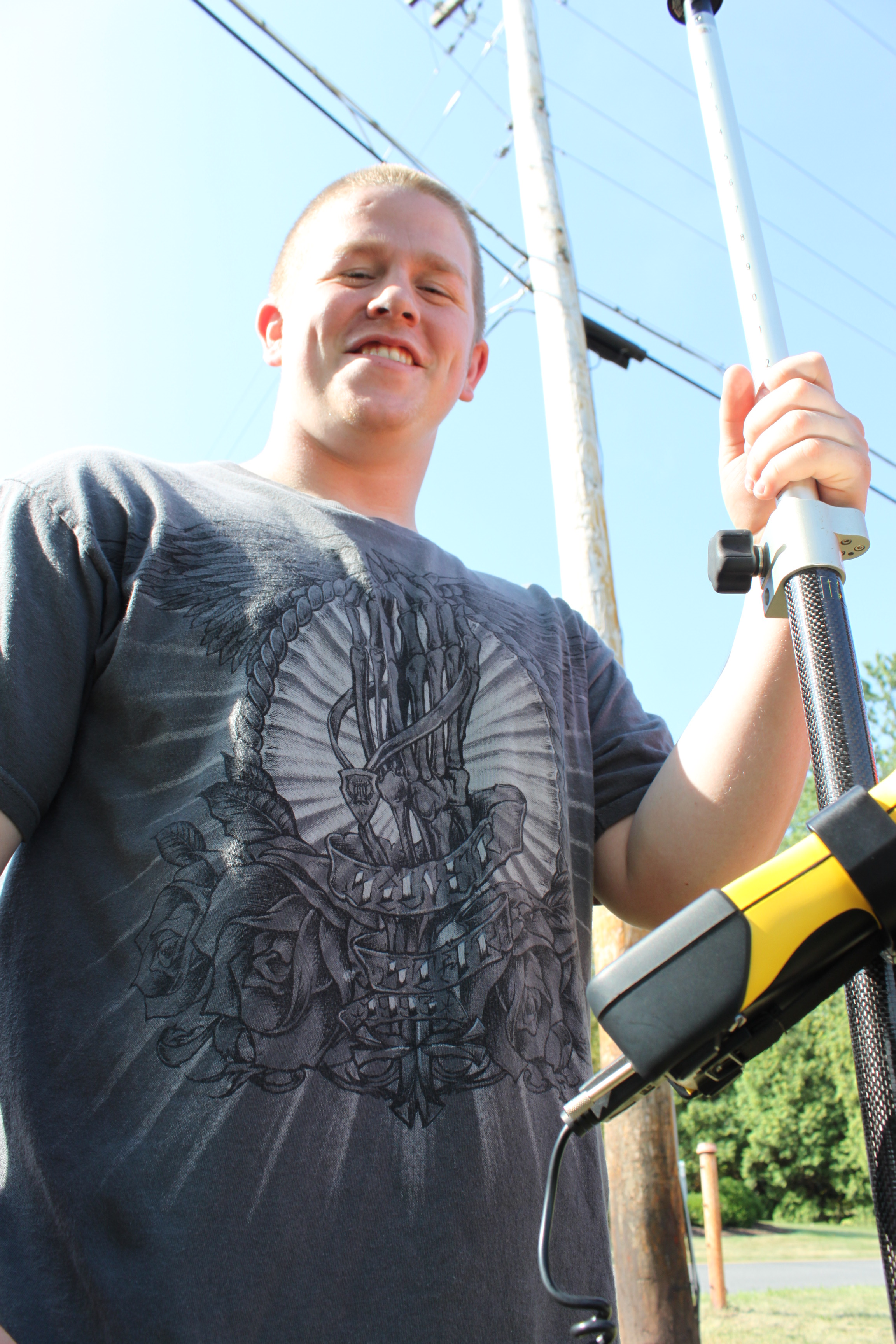
Congratulations to rising senior and GIS Student Assistant Darin Rockwell, Geography/Geology ’13, for landing a very competitive GIS internship for summer 2012 with Lockheed Martin. Currently ranked #58 on the Fortune 500 listLockheed Martin is a

global security and aerospace company that employs about 123,000 people worldwide and is principally engaged in the research, design, development, manufacture, integration and sustainment of advanced technology systems, products and services. 

GIS is integrated across Lockheed Martin’s operations and the company recently joined the ESRI Partner Network in order to 

collaborate [with ESRI] on technologies to put online geospatial apps and services in the hands of more military, intelligence, homeland security and emergency response users worldwide…  Lockheed Martin and Esri have previously worked together on several geospatial-intelligence programs for the U.S. Government and international customers. The companies will continue to collaborate on future geospatial opportunities for global customers, with a focus on enterprise GIS solutions that connect desktop and mobile users across a range of devices with a secure worldwide network.

Hopefully at some point this summer we’ll be able to get a guest blog post from Darin about his internship (assuming of course he’s allowed to talk about it!).
Categories
Bucknell/Local Interest GIS Jobs, Internships, Scholarships & Grad Programs Slideshow

GIS Job Opportunities – Yale University

Last fall I wrote a post about the work that Stace Maples is doing as Yale University’s GIS Specialist.  The Yale Map Department recently posted a job listing for a GIS Specialist who would work with Stace and others in the map department  on developing and maintaining GIS metadata. Full job description is pasted in below. Click here to submit an application on the Yale University careers page.

GIS Specialist, Map Department, Yale University, New Haven, CT

Duration: Fixed, one year from date of hire

Schedule:   Full-time (37.5 hours per week); Standard Work Week (M-F, 8:30-5:00)


The Position

Reporting to and under the guidance of the Head of the Map Department and in collaboration with staff from the Library Cataloging and Metadata Department, manages all of the GIS aspects of the Map Department’s metadata and cataloging operations. These operations, which generally utilize the Maps2MARC process, focus primarily on topographic map series and nautical charts, but may expand to include Sanborn Fire Insurance maps, highway maps, GIS data, and raster digital files created from paper-based maps held by the Department.

Principal Responsibilities

1.      Provides GIS support for projects creating descriptive records for the Map Department’s paper-based maps and charts.

2.      Manages, plans, and organizes GIS project workflow and reports progress made on different phases of the project for each map series.

3.      Creates GIS footprint indexes for map series with ArcGIS software by individual sheet or in bulk with automated grid methods.

4.      Builds GIS table templates with catalog librarians to allow the catalogers to record particular metadata for individual maps within a series.

5.      Using ArcGIS software, processes map series information.

6.      Collaborates with staff to convert GIS map footprint indexes to MARC records or to convert MARC records to GIS footprints.

7.      Generates reports for map series for inventory and labeling of map folders.

8.      Supervises student employees who assist in creating map footprint indexes and other related tasks.

9.      Works on site at assigned Libraries.

10.  May perform other duties as assigned.

Education & Experience

Master’s degree with training or specialty in GIS. 1 year GIS experience with geospatial data/ cartographic materials or GIS project management involving development of metadata for a collection of objects. For appointment to the rank of Librarian 1, a Master’s degree from an ALA-accredited program for library and information science is required.

Required Skills & Abilities

1.      Demonstrated familiarity with ArcGIS 10 or 10.1 GIS desktop and Microsoft Excel software. Some familiarity with the MARC metadata format, and HTML. High degree of computer literacy.

2.      Familiarity with topographic and nautical series maps, projections, and coordinate systems.

3.      Excellent oral, written, and graphic communication skills.

4.      Ability to train others in fundamental GIS and metadata collection skills.

5.      Excellent management, communication, and coordination skills with an ability to systematically and logically solve problems and implement measures to ensure quality control of metadata.

Preferred Education, Experience and Skills

Master’s degree from an ALA-accredited program for library and information science.

Salary and Benefits

We invite you to discover the excitement, diversity, rewards and excellence of a career at Yale University. One of the country’s great workplaces, Yale University offers exciting opportunities for meaningful accomplishment and true growth. Our benefits package is among the best anywhere, with a wide variety of insurance choices, liberal paid time off, fantastic family and educational benefits, a variety of retirement benefits, extensive recreational facilities, and much more.

Applications consisting of a cover letter, resume, and the names and contact information of three professional references should be sent by creating an account and applying online at http://www.yale.edu/jobs for immediate consideration – the STARS req ID for this position is 16429BR.  Please be sure to reference # 16429BRin your cover letter.