Categories
Bucknell/Local Interest Data Environment GIS in Engineering GIS in Environmental Studies GIS in Geography GIS in Geology Miller Run Restoration Project Slideshow

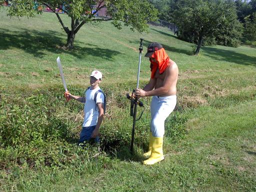
Machetes, Wellies and 100 degree heat close out week 1 of Miller Run data collection

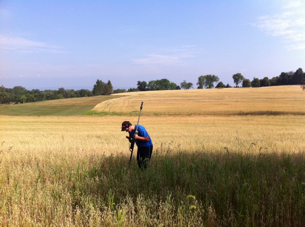
Dan Ladd, Geography (Middlebury College) ’14 and Max Stiss, Geography/Anthropology ’12,  weilded machetes and Wellingtons in an effort to collect detailed elevation data for the Miller Run restoration project. And did I mention the 100+ degree heat? Actually, the funniest part of this photo is that it was taken directly in front of the playground at Sunflower Day Care.  Wonder how the pre-school teachers explained this scene?

Categories
Bucknell/Local Interest Environment Events/Calendar General GIS Slideshow

GIS posters at Sigma Xi summer research symposium

Come to the Sigma Xi summer research symposium on Wednesday, July 27th from 2-4pm at the Langone Center’s Terrace room to check out posters by student researchers.  There will be a variety of posters that feature GIS as a research methodology and/or visualization tool – including posters about the Flying Bison drone, community asset mapping, georeferencing historic maps, Marcellus Shale research, recycling & waste at Bucknell and other topics.

Categories
Bucknell/Local Interest Data Environment General GIS GIS in Engineering GIS in Environmental Studies GIS in Geography GIS in Geology Miller Run Restoration Project Slideshow Videos

Week 1 – Miller Run data collection

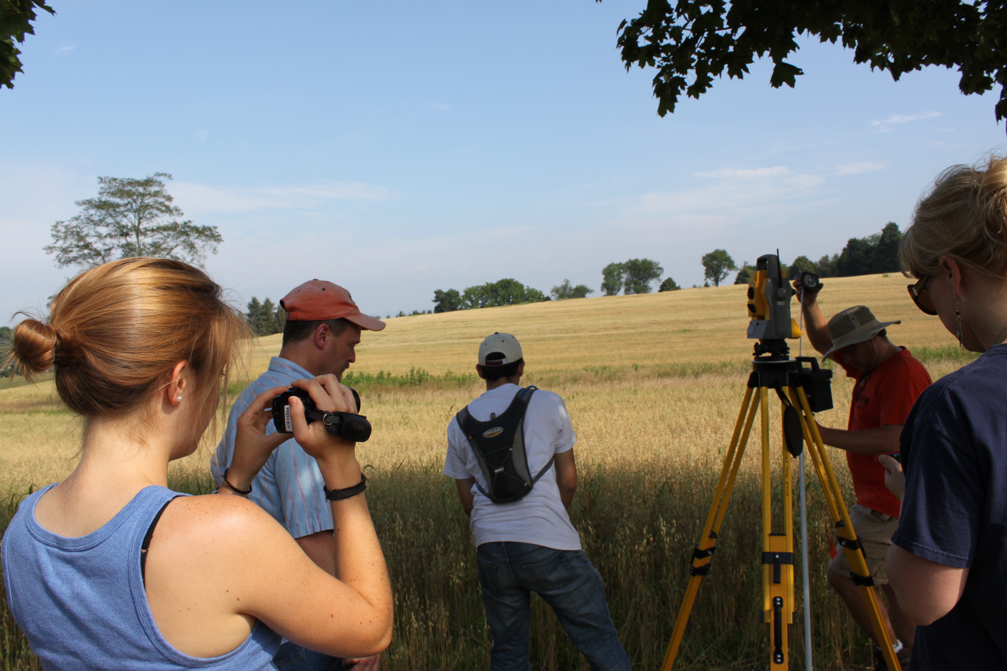
If you’ve driven past the golf course this week you might have noticed some students traipsing around in the underbrush near the driving range and Sunflower day care.  The students are part of Bucknell’s GIS team and they have been collecting high resolution elevation data for the Miller Run restoration project. The students will be out there for another 2-3 weeks (+ or – a week depending on when the oat crop gets harvested – yes, really!). Here’s a short video to describe the work they’re doing. Thanks to Lindsay Coffee, a student video assistant, for taking the footage and producing the clip.

httpv://www.youtube.com/watch?v=-ZzANov_8gA


Day 1 – Leveling (and then re-leveling, and re-re-leveling, etc.)


Day 1:80K dollars worth of equipment in the field… but couldn’t start till we tracked down a $2.99 tape measure


Day 1: ‘WALL-E’ looking for ‘EVE’

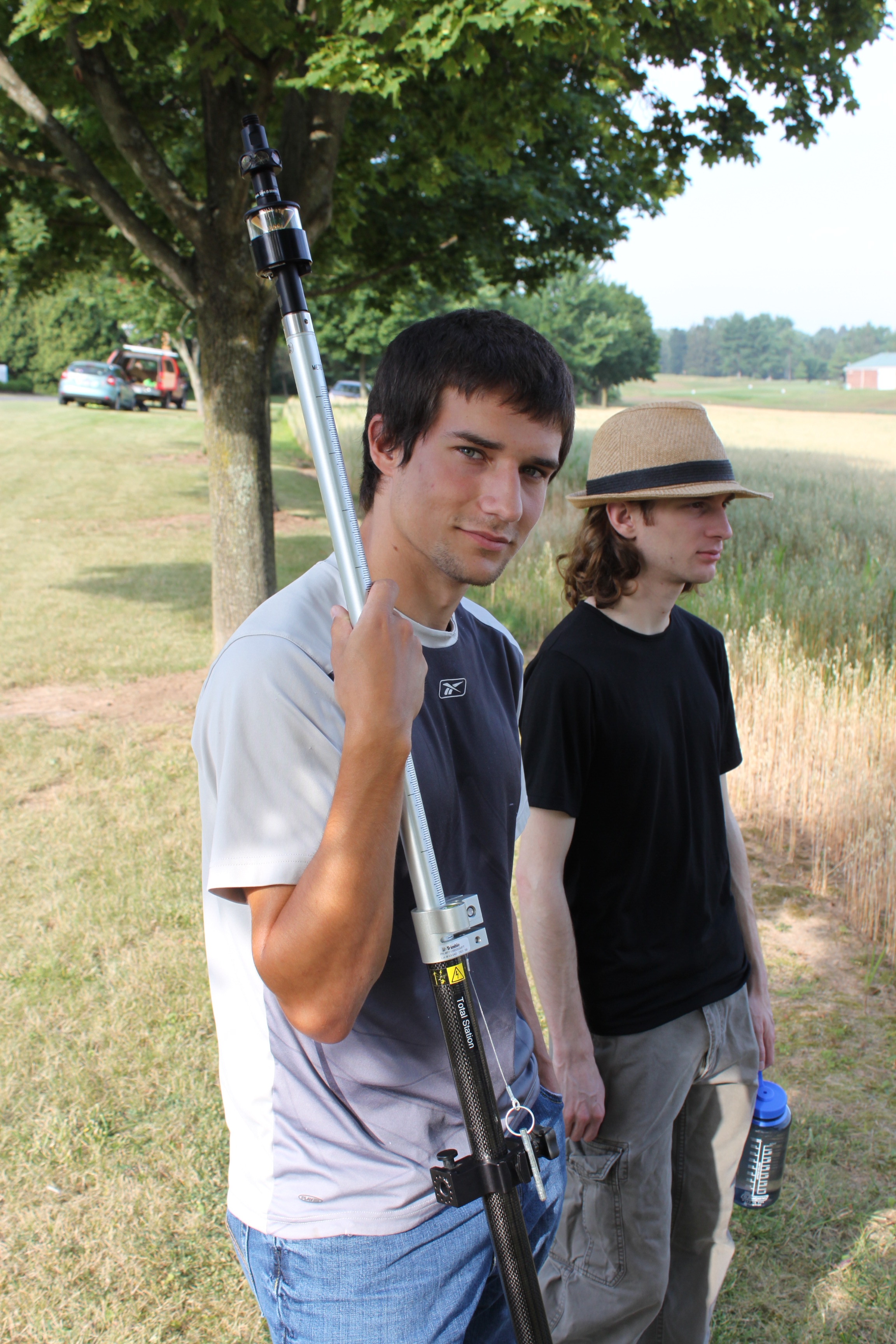
Day 1: Mike holding ‘EVE’


Day 1:Darin with the GPS

Categories
Bucknell/Local Interest Data Environment Events/Calendar General GIS GIS in Engineering GIS in Environmental Studies GIS in Geography GIS in Geology Miller Run Restoration Project Slideshow

Come watch the Flying Bison!

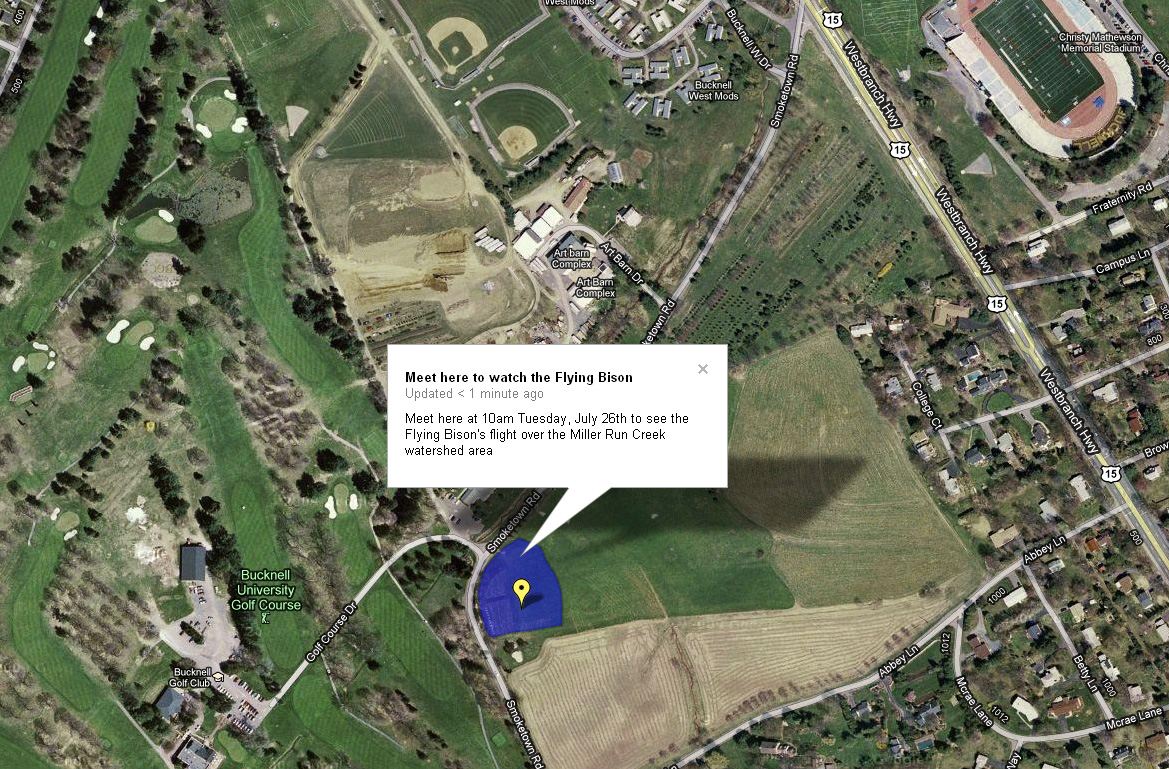
Come watch the Flying Bison capture high resolution aerial imagery of the Miller Run Creek watershed area. The flight is part of the work that the GIS Student assistants are doing this summer in support of the Miller Run Restoration project. Details and map below.

What: Come see the Flying Bison take off. Flight will last roughly 30 minutes. The Flying Bison drone will take off and land at the same location (see below)

When: Tuesday, July 26th at 10am

Where:  Tee box behind the new Bucknell Golf Course driving range building.  See map below (note that it does not show the new driving range building – underscoring the need for updated aerial images!):

Categories
Bucknell/Local Interest Data Environment General GIS GIS in Engineering GIS in Environmental Studies GIS in Geography GIS in Geology Miller Run Restoration Project Slideshow

Miller Run Restoration

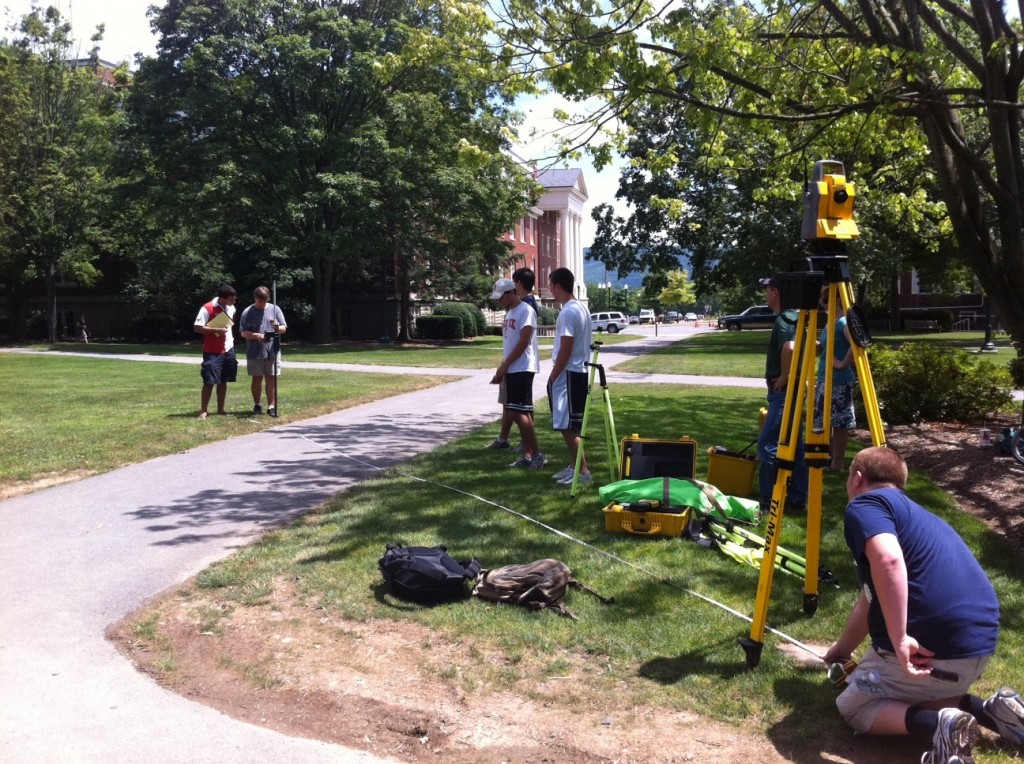
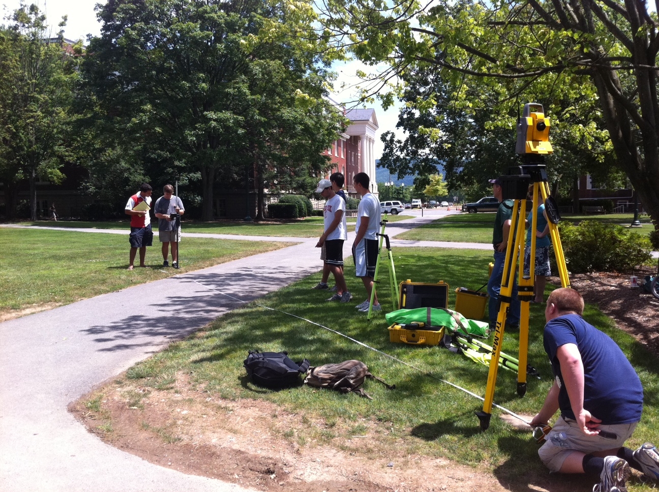
In January of 2011, Bucknell received a 178K grant through PA DEP’s Growing Greener program to support the first phase of a project that will restore the Miller Run Creek (that runs through campus and the golf course) and provide flood relief to the surrounding areas.  Bucknell’s GIS Student Assistants are supporting the Miller Run Restoration project by collecting high resolution aerial imagery (using a drone) and elevation data (using an RTK survey system and high accuracy GPS).  We’ll post more about the project in the next few weeks, but for now here are a few pictures of Team Survey.

Nick Urban, Computer Science ’12 – designing, building and flying an aerial drone to capture high resolution imagery of the campus area

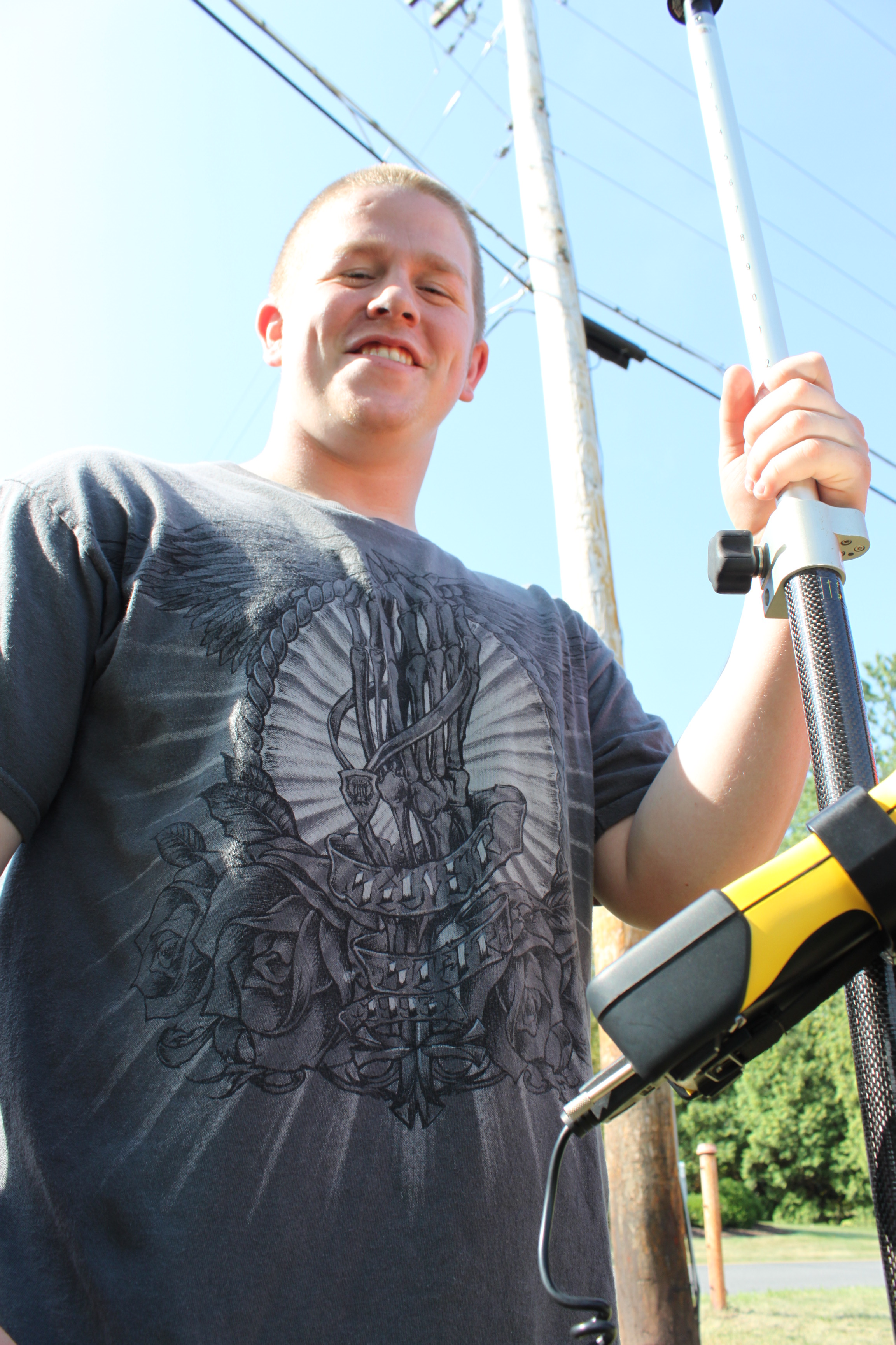
Max Stiss, Geography/Anthropology ’12 – collecting GPS data near Abbey Lane for the Miller Run Restoration Project
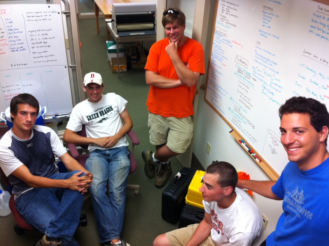
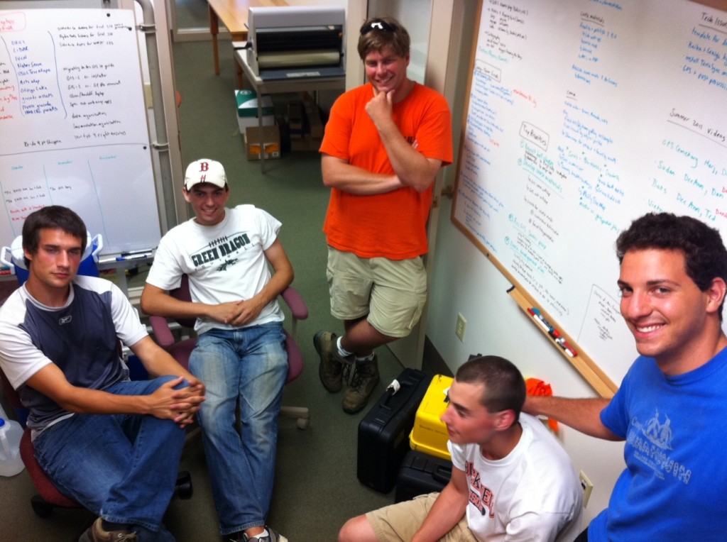
From L to R, clockwise: Mike Grasso, Environmental Studies ’13; Dan Dougherty, Geography/History ’12; Prof. Rob Jacob, Geology; Dan Dougherty, Geography/History ’12; Max Stiss,
Geography/Anthropology ’12 uploading GPS data after a day in the field
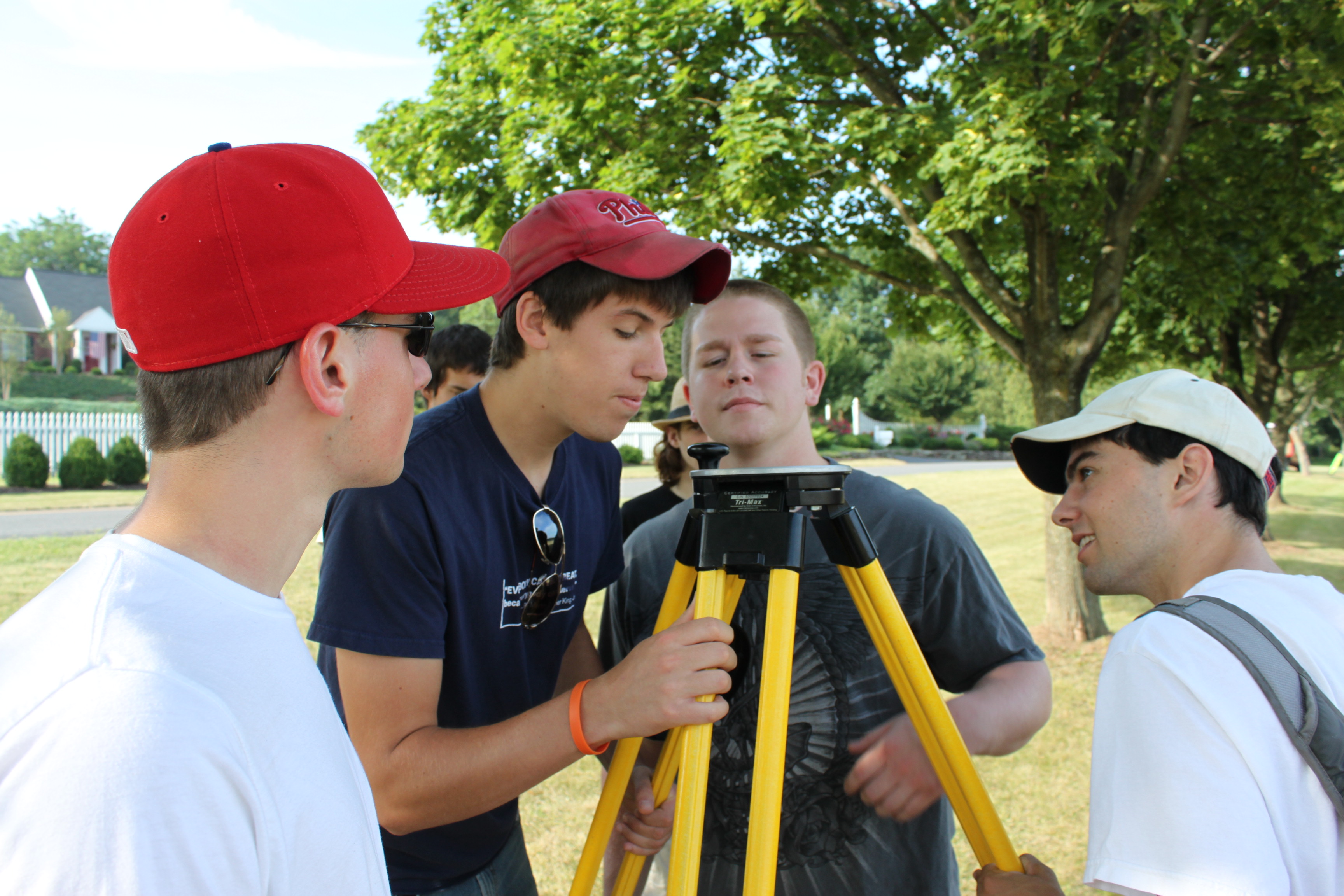
Training on the RTK System before heading out in the field: