Come watch the Flying Bison capture high resolution aerial imagery of the Miller Run Creek watershed area. The flight is part of the work that the GIS Student assistants are doing this summer in support of the Miller Run Restoration project. Details and map below.
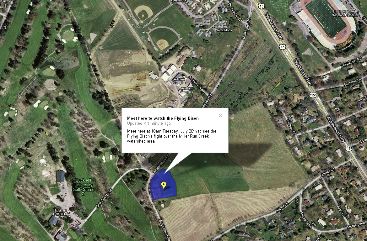
What: Come see the Flying Bison take off. Flight will last roughly 30 minutes. The Flying Bison drone will take off and land at the same location (see below)
When: Tuesday, July 26th at 10am
Where: Tee box behind the new Bucknell Golf Course driving range building. See map below (note that it does not show the new driving range building – underscoring the need for updated aerial images!):
