Categories
Bucknell/Local Interest General GIS GIS & Environmental Justice GIS in Environmental Studies GIS in Geography GIS in Social Science GIS Jobs, Internships, Scholarships & Grad Programs Slideshow

GIS Job Opportunities – Summer 2012 paid GIS internship with REU

I’ve been posting a lot (here, here and here) about GIS job opportunities for Bucknell’s class of 2012 – but there are also lots of GIS internships out there for returning students. Are you interested in using GIS for research this summer? Do you want to get paid for it too?  If so, you should consider applying to the Research Experiences for Undergraduates (REU) program’s Georgia State University site.

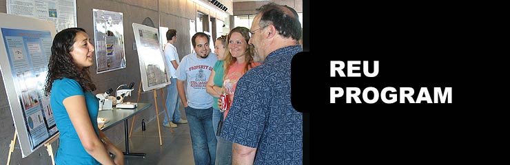
The Research Experiences for Undergraduates (REU) program is funded by NSF and among the most competitive and prestigious summer research programs available to undergraduate students. REU targets students from various disciplines and hosts programs at sites all across the U.S.  (click here to see the full list). In Summer 2012 Georgia State University in Atlanta, GA will host an REU site focused on using GIS to do community-based research and fieldwork.  Check out the details below and be sure to tell me if you decide to apply for this.  BTW, having something like this on your resume would be incredibly helpful in any future job searches.

Research Experiences for Undergraduates (REU) Site: Addressing Social and Environmental Disparities through Community Geography and Geographic Information Systems.  The project is funded by the National Science Foundation.  The program runs June 18th – August 2nd.

Research Interests: Working with faculty mentors in one of three research tracks, 10 selected undergraduates will engage in community-based research and fieldwork to quantitatively and qualitatively examine neighborhood change, property markets, air and soil quality, urban green spaces, and neighborhood visioning in partnership with neighborhood residents and community groups.

Compensation: Each REU student will receive a competitive funding package, including: a $3000 stipend, up to $250 in travel support to/from Atlanta, up to $750 for conference presentations, free room and board at GSU, and 3 required texts.

Application Process: Applications are due Friday, March 23rd @ 5 PM EST.  Complete application instructions and the application form can be found at http://csaw.gsu.edu/nsf-reu/application-instructions/

To Learn More:  Visit http://csaw.gsu.edu/nsf-reu/

Any questions can be directed to the Dr. Timothy Hawthorne (PI) at thawthorne@gsu.edu or Dr. Katherine Hankins (Co-PI) at khankins@gsu.edu
 

Categories
Bucknell/Local Interest General GIS GIS Jobs, Internships, Scholarships & Grad Programs Slideshow

GIS Job Opportunities – ESRI

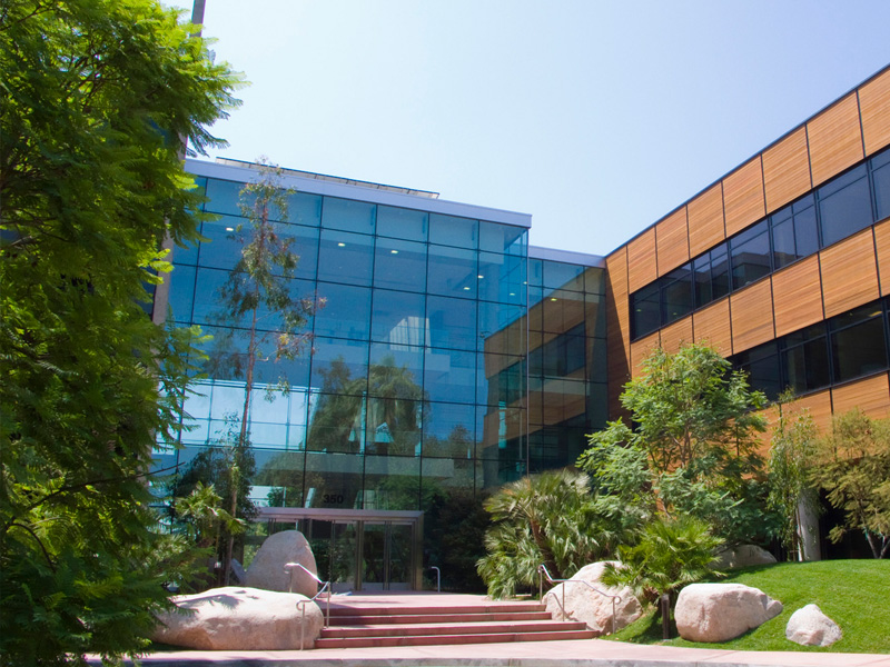
If you are a second semester senior looking for a full-time job or a returning student considering summer internship options, check out the links below from the ESRI newsletter for students and recent graduates.If you don’t already know, ESRI is more or less the Microsoft of the GIS world. Having an ESRI job or internship on your resume will open a lot of doors for you in the GIS world. Having worked at ESRI’s Philadelphia regional office for a number of years I can tell you from first hand experience that ESRI is an incredibly exciting, challenging and rewarding place to work (whether you are at the mothership in Redlands or any one of the many regional offices).

Read through the info below and/or set up an appointment to talk with me about GIS job options.

 Students looking for an opportunity to earn while they learn are invited to check out Esri’s summer programs.

  • The Internship Program provides students with personal and professional development skills as they are mentored by staff from all disciplines. We will have more than 60 interns this summer, primarily in software and product development, professional services, and support, but interns are placed throughout the company. Check your major and see where you might fit, and then learn what former interns have to say in this video or on the Esri Careers blog.
  • Participants in the Student Assistantship Program attend the Esri International User Conference, the ultimate event for anyone working with GIS. In exchange for helping out during the conference, students attend sessions and network with others who share their passion for GIS. Watch a video of former assistants.

Attend an Esri Conference Free

  • We are seeking student volunteers to help out at the annual Esri Federal GIS Conference, February 22 – 24, 2012, in Washington, D.C. If selected, you will attend this event for free in exchange for volunteering a day or more of your time. Some of the duties include greeting attendees, working registration, and monitoring sessions. View details [PDF].

Meet Esri Staff at AAG

  • If you’re planning on attending the Association of American Geographers (AAG) annual meeting in New York, New York, February 24 – 28, 2012, make time to stop by the Esri booth to meet staff from our software development and industry solutions teams. See a demo of our latest software and learn what it’s like to be part of the Esri team. We’ll also have a booth in the Jobs in Geography Center.

Career Opportunities for New Grads

  • Graduating soon? There’s no better way to start your career than with a world-leading software development company. Esri offers a number of opportunities for new grads such as programmers, product engineers, support analysts, test engineers, and geospatial analysts.
  • Qualifications for these positions vary, but in general, we are seeking graduates with degrees in GIS, geography, computer science, computer engineering, or related fields. Learn where you might fit at Esri, and then search our current openings.
Categories
Bucknell/Local Interest Data General GIS GIS Jobs, Internships, Scholarships & Grad Programs Slideshow

GIS Job Opportunities – Smith College

In recent weeks I’ve talked to a number of second semester seniors about GIS job options.  I’m hoping at some point to write a blog post with links to GIS job search sites and other resources, but for now I’m just going to pass along job listings as I see them.

I just got an e-mail from Jon Caris, the GIS Specialist at Smith College in Northampton, MA saying that Smith is looking to hire a new or recent college graduate (within 3 years) for the brand new Post-Baccalaureate Spatial Analysis Fellow position.  Start date is July 2012 – direct link to the posting can be found here.  This position is ideal for a student hoping to gain additional GIS experience before looking for a permanent job, or as a bridge before graduate school. Duties are similar to what the team of GIS Student Assistants do at Bucknell and include:

  • Data Documentation, Maintenance, and Acquisition
  • Equipment and Software Maintenance
  • Class & Individual Support
  • Administrative Support

If this sounds interesting to you please talk to me. Jon is doing a whole bunch of really innovative things with GIS at Smith and would be an incredible mentor to work with!

Categories
Bucknell/Local Interest Crisis-Mapping Data Environment General GIS GIS Jobs, Internships, Scholarships & Grad Programs Map Apps Slideshow

GIS Job Opportunities – DevelopmentSeed

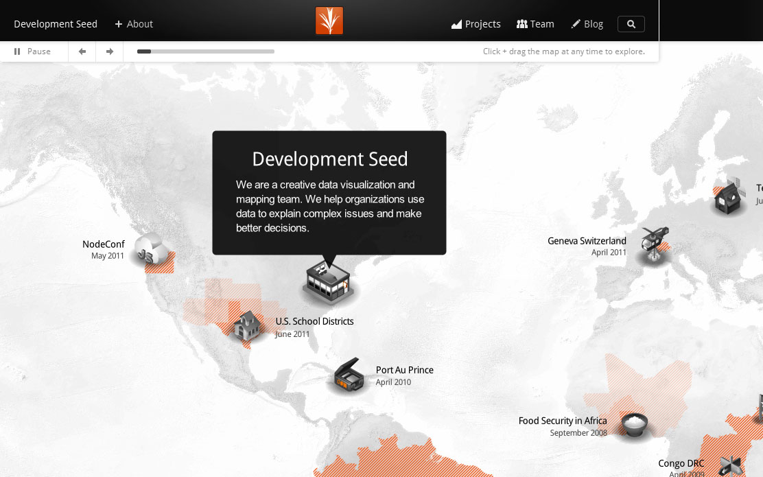
Back in October I mentioned that developing GIS technical skills can help you land a job after graduation. Well, here’s the proof.  Recent Bucknell grad Chad Lawlis, Environmental Studies ’11, just got hired as the Mapping & Data intern for Development Seed, a Washington D.C.-based consulting/R&D company known for its innovative, open-source solutions for data visualization and mapping.

Chad never had a chance to take either of Bucknell’s intro GIS courses (GEOG204 – Applied GIS, taught by Duane Griffin and GEOL 230 – Environmental GIS, taught by Carl Kirby and Rob Jacob) at Bucknell, although I’m sure he wishes he had as both are phenomenal courses! Instead, he picked up GIS skills by working as a research assistant for Prof. Amanda Wooden, developing GIS datasets for her work on environmental activism in Kyrgyzstan. Chad also served as a GIS Student Assistant during Summer 2011 working on a variety of projects, including asset mapping for Lycoming County.  Chad writes:

“Currently I am working on the Atlas Project… compiling and processing a number of large demographic data sets for all of the US which will soon translate into making election maps using TileMill (DevelopmentSeed’s free, lightweight map design software). I am already learning so much about data cleaning and processing – using OpenOffice, TextMate, Google Refine, SQLite, and Terminal so far – and looking forward to what’s to come with map making in TileMill and hopefully a bit of web design as well. The office atmosphere is a lot of fun too, very much a startup vibe… in a small renovated apartment with foosball, pingpong, and even a bar in the basement and a few dogs running around as well.”

So… if you like your maps served up with foosball, beer and dogs (and would like to get paid for working in that kind of environment), you should definitely consider developing GIS skills during your time at Bucknell.  The Development Seed job and many others can be found on the GIS Jobs Clearinghouse website. Or feel free to schedule an appointment to come talk with me about GIS job options.

Chad Lawlis, Environmental Studies '11


Categories
Bucknell/Local Interest Environment Events/Calendar General GIS GIS Jobs, Internships, Scholarships & Grad Programs Slideshow

Happy GIS Day, Bucknell!

If the map-lovers and geo-geeks in your life have an extra spring in their step this morning, it’s because GIS day is finally here!!!! No, you probably can’t get out of class or work on this holiday but there’s still a lot to get excited about, including:

1. Jobs – developing GIS and spatial literacy skills can help you get a job.

The geospatial industry and market for it continue to expand at a phenomenal rate. The latest Dept. of Labor statistics show more than 850,000 current geospatial workers with an additional 350,000 needed by 2018 (from GeoTechCenter.org)

Because the uses for geospatial technology are so widespread and diverse, the market is growing at an annual rate of almost 35 percent, with the commercial subsection of the market expanding at the rate of 100 percent each year. (from U.S. Department of Labor’s Employment & Training Administration website)

2. Cake – GIS day means…. cake! Last year was an orthophoto cake. This year the cake has gone inter-galactic. Want to eat a slice of the globe cake? It’ll be served up at noon near the central staircase in the library.

3. Geo-geek humor – That’s right, GIS Day is also a celebration of the collective, colossal geekiness of the people all over the world who do GIS. Last year’s GIS Day brought us a GIS-inspired cover version of Jay-Z and Alicia Keys’ ‘Empire State of Mind.’

httpv://www.youtube.com/watch?v=4mCDUf08YLg

This year is a cartoon on what your favorite map projection says about you.