Categories
Bucknell/Local Interest Data Environment General GIS GIS in Computer Science GIS in Engineering GIS in Environmental Studies GIS in Geography GIS in Geology Slideshow Videos

Computer science major builds aerial drone for a bird’s-eye view of local stream

Bucknell communications recently published an article on the work that Nick Urban and the other GIS student assistants did this summer for the Miller Run Restoration project.  Excerpt below – click here to read the full article.

LEWISBURG, Pa. – As the son of an aircraft mechanic, Nick Urban learned a thing or two about planes.

The rising senior at Bucknell University started out putting together model airplanes when he was a child but later became more interested in the technology that makes them work.

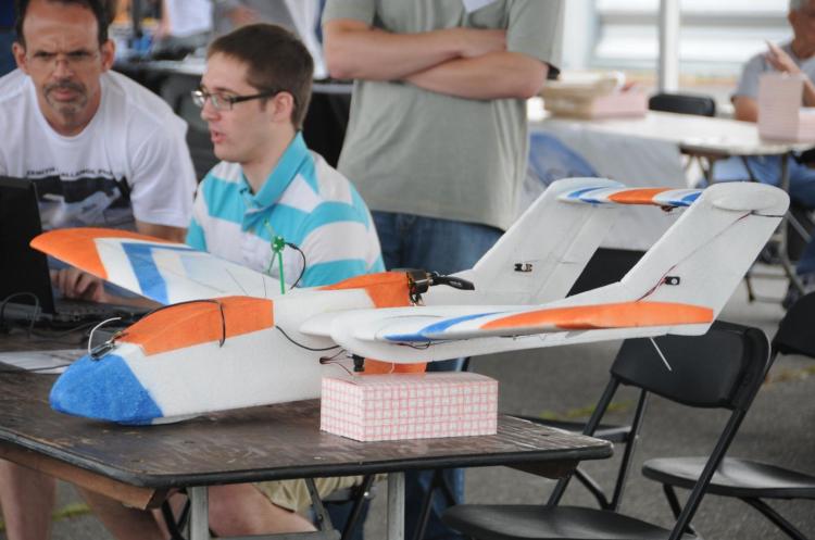
This summer, Urban, a computer science major from New Jersey, has combined the two interests in a research project in which he is designing, building and flying a remote-controlled aerial drone. The so-called “Flying Bison,” outfitted with video and still cameras and GIS technology, is being used to capture high-resolution images of Miller Run Creek for an ongoing restoration of the waterway that runs through Lewisburg. The data also will be used to assess how well unmanned aerial vehicles monitor environmental change.

“Pretty much all the equipment you would find on a regular plane is squeezed onto this remote-control plane,” Urban said during a recent test flight at the Bucknell University Golf Course. “It has a manual takeoff and landing, but I flip a switch on the transmitter and it will fly itself and navigate on its own.”
Categories
Bucknell/Local Interest Data Environment General GIS GIS in Computer Science GIS in Engineering GIS in Environmental Studies GIS in Geography GIS in Geology Miller Run Restoration Project Slideshow Videos

Video footage from Flying Bison test run

On July 26th, Nick Urban and the summer 2011 GIS team conducted a test flight of the Flying Bison. See video to learn more about the Miller Run Restoration Project and to see footage captured by the drone during its flight.

Thanks to Lindsay Coffee and Erin Murphy for their work on shooting & editing the video footage.

video platform video management video solutions video player

Categories
Bucknell/Local Interest Data Environment GIS in Engineering GIS in Environmental Studies GIS in Geography GIS in Geology Miller Run Restoration Project Slideshow

Machetes, Wellies and 100 degree heat close out week 1 of Miller Run data collection

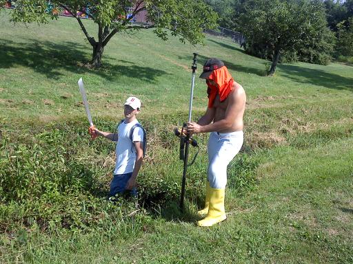
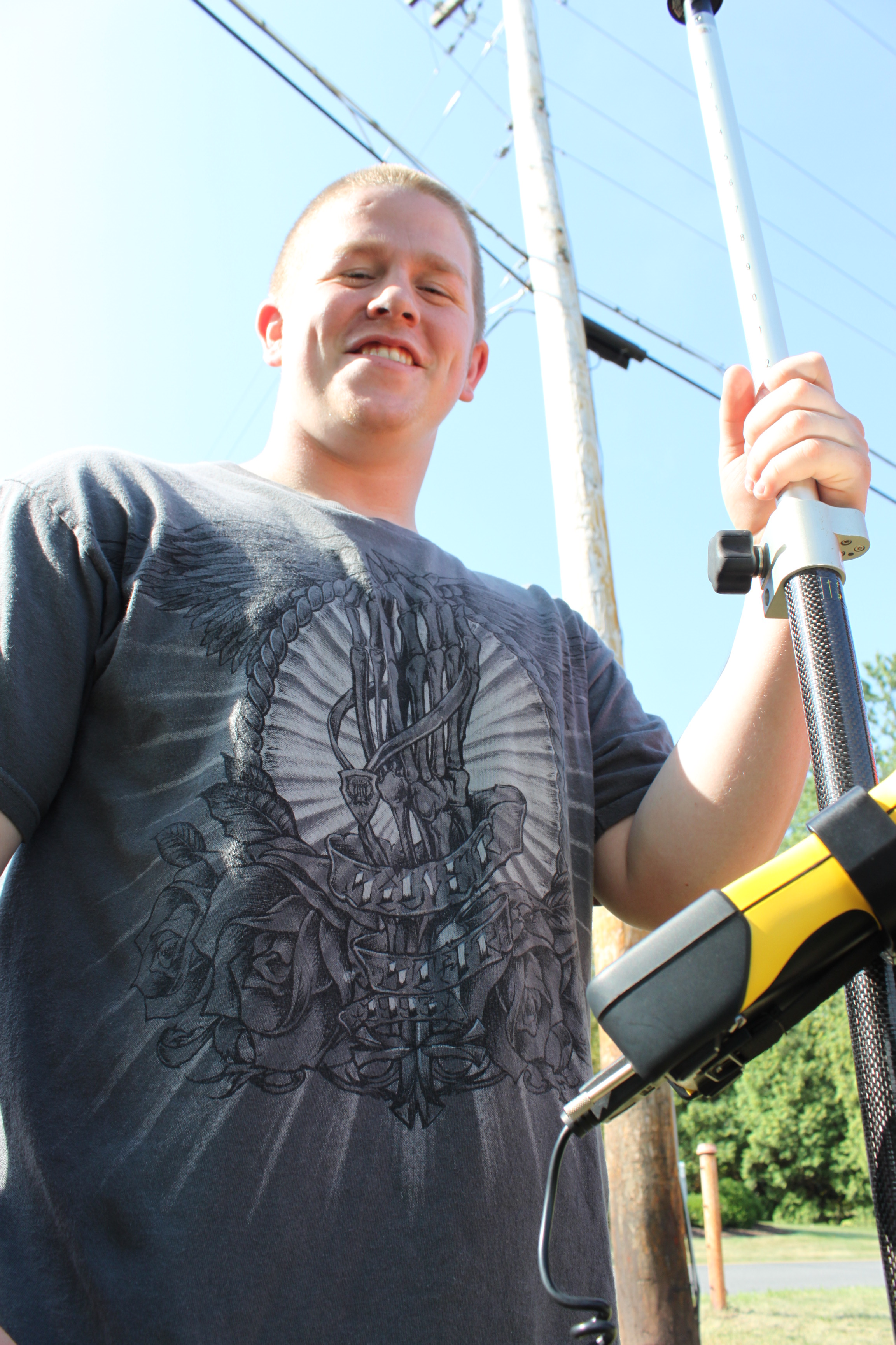
Dan Ladd, Geography (Middlebury College) ’14 and Max Stiss, Geography/Anthropology ’12,  weilded machetes and Wellingtons in an effort to collect detailed elevation data for the Miller Run restoration project. And did I mention the 100+ degree heat? Actually, the funniest part of this photo is that it was taken directly in front of the playground at Sunflower Day Care.  Wonder how the pre-school teachers explained this scene?

Categories
Bucknell/Local Interest Environment Events/Calendar General GIS Slideshow

GIS posters at Sigma Xi summer research symposium

Come to the Sigma Xi summer research symposium on Wednesday, July 27th from 2-4pm at the Langone Center’s Terrace room to check out posters by student researchers.  There will be a variety of posters that feature GIS as a research methodology and/or visualization tool – including posters about the Flying Bison drone, community asset mapping, georeferencing historic maps, Marcellus Shale research, recycling & waste at Bucknell and other topics.

Categories
Bucknell/Local Interest Data Environment General GIS GIS in Engineering GIS in Environmental Studies GIS in Geography GIS in Geology Miller Run Restoration Project Slideshow Videos

Week 1 – Miller Run data collection

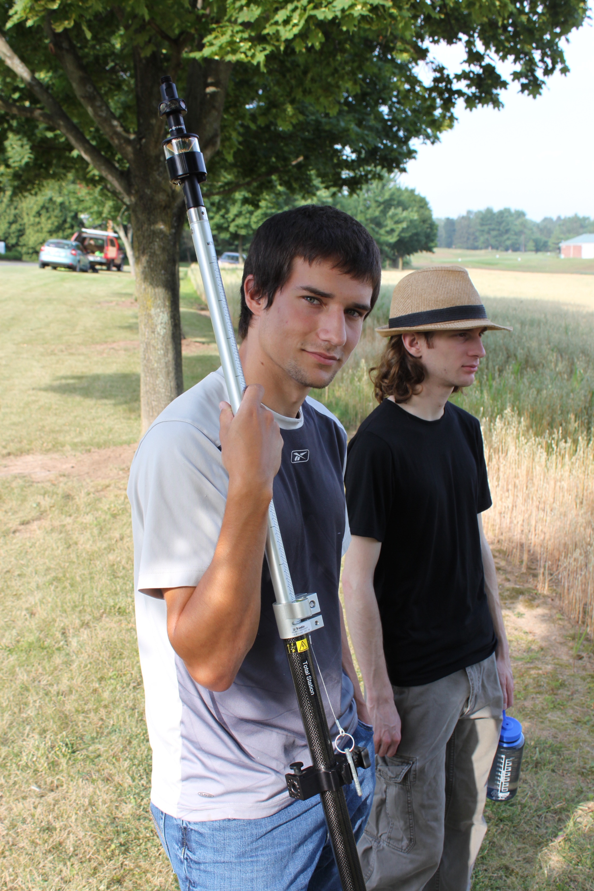
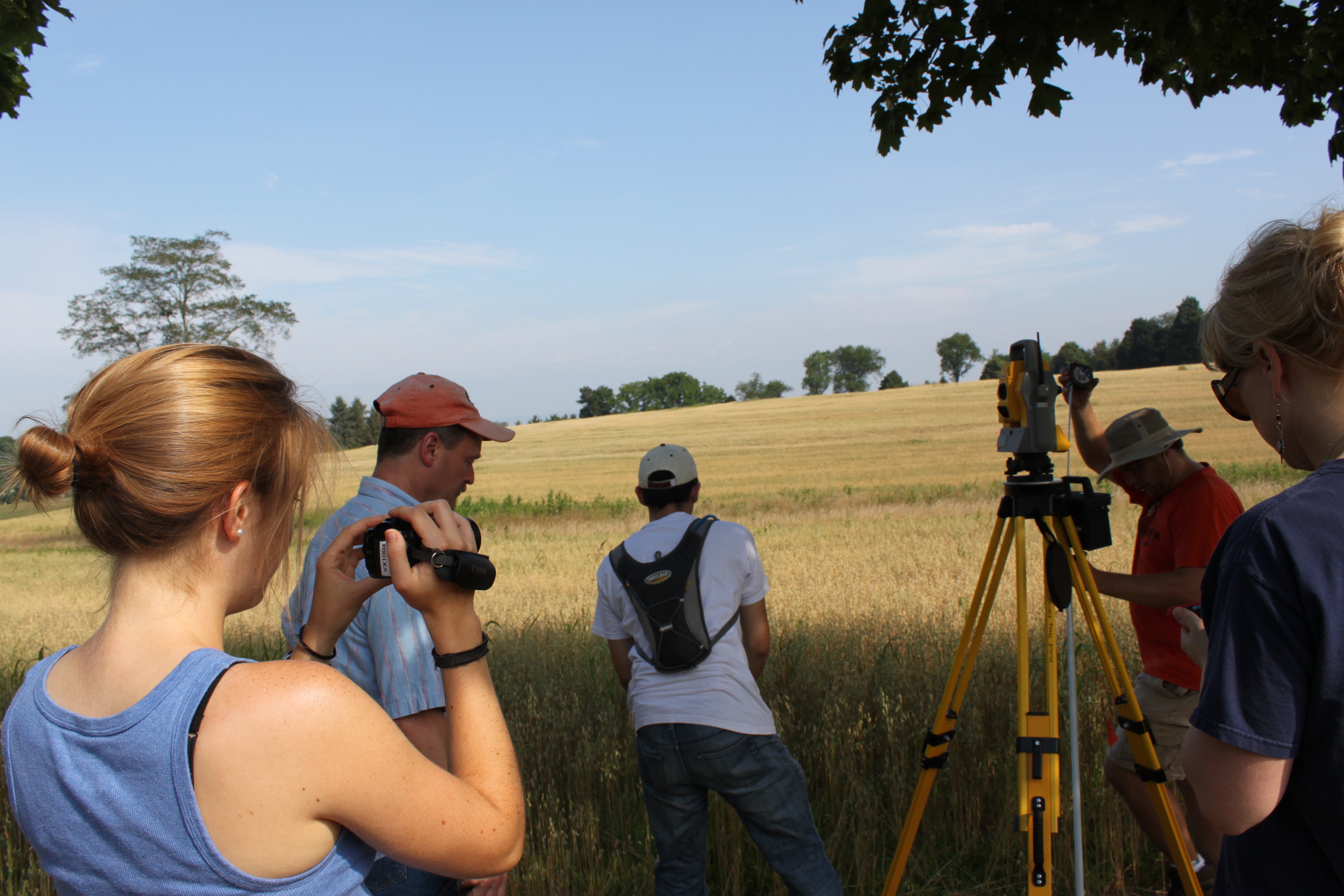
If you’ve driven past the golf course this week you might have noticed some students traipsing around in the underbrush near the driving range and Sunflower day care.  The students are part of Bucknell’s GIS team and they have been collecting high resolution elevation data for the Miller Run restoration project. The students will be out there for another 2-3 weeks (+ or – a week depending on when the oat crop gets harvested – yes, really!). Here’s a short video to describe the work they’re doing. Thanks to Lindsay Coffee, a student video assistant, for taking the footage and producing the clip.

httpv://www.youtube.com/watch?v=-ZzANov_8gA


Day 1 – Leveling (and then re-leveling, and re-re-leveling, etc.)


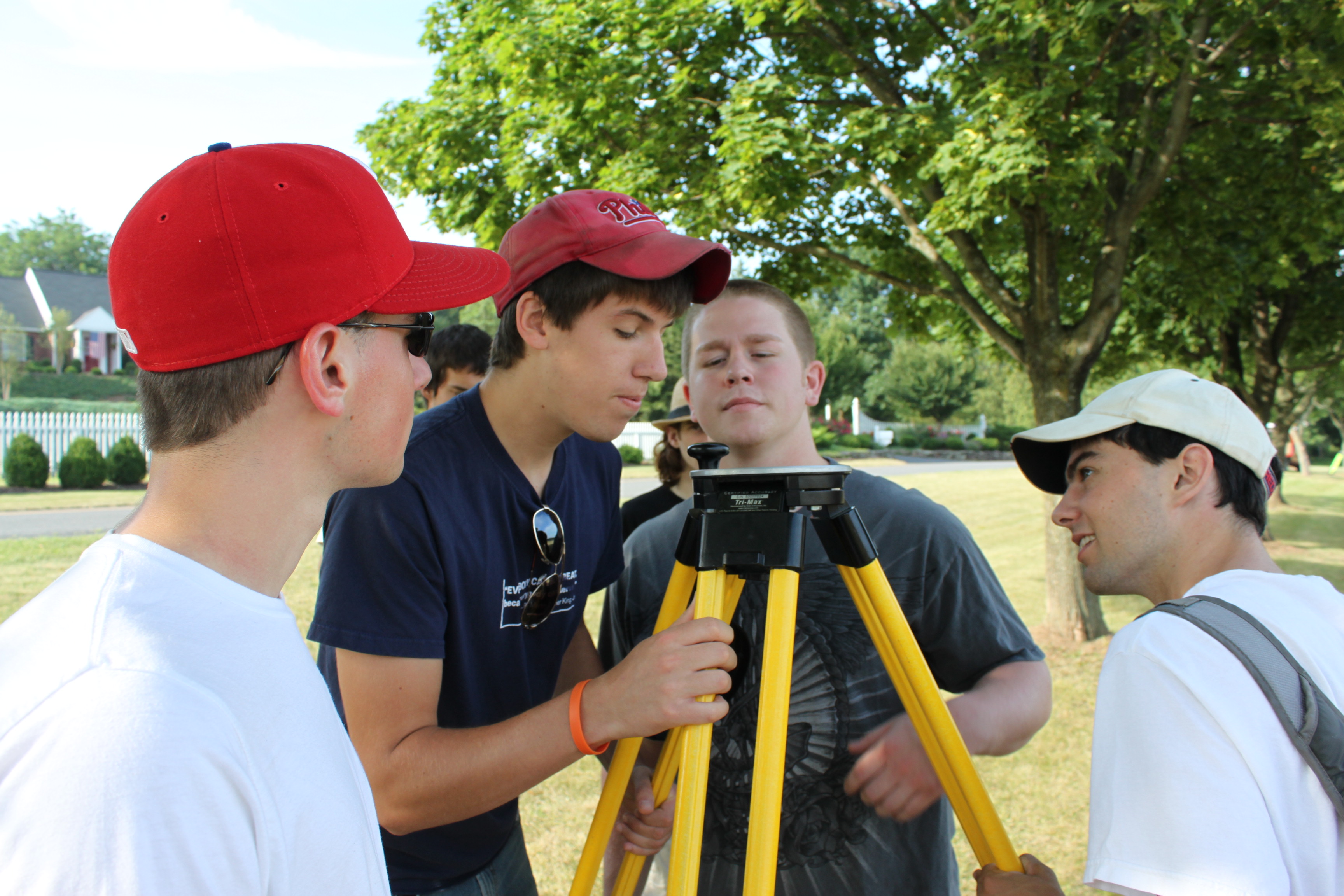
Day 1:80K dollars worth of equipment in the field… but couldn’t start till we tracked down a $2.99 tape measure


Day 1: ‘WALL-E’ looking for ‘EVE’

Day 1: Mike holding ‘EVE’


Day 1:Darin with the GPS