Thanks to the Mellon grant and a huge number of faculty teaching and research projects it’s been a very busy summer of GIS work at Bucknell. Over the coming weeks I’ll write detailed posts about the work we’re doing on each of the projects. If I’m really ambitious I might try to post some interviews with faculty and students – and some footage of the aerial drone flights that Nick Urban ’12 is doing. But for now here’s a short overview of who’s doing GIS work at Bucknell this summer and what we’re doing:
GIS Student Assistants:
- Chad Lawlis, Environmental Studies ’11
- Dan Dougherty, Geography/History ’12
- Max Stiss, Geography/Anthropology ’12
- Nick Urban, Computer Science ’12
- Mike Grasso, Environmental Studies ’13
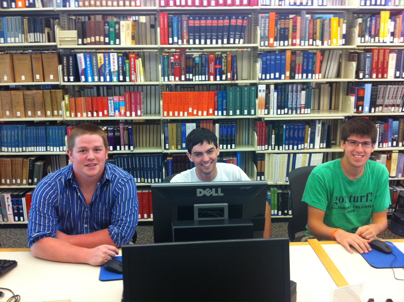
- Robby Holler, Geography/International Relations ’13 (pictured below)
- Darin Rockwell, Geography/Geology ’13 (pictured below)
- Dan Ladd, Middlebury College ’14 (pictured below)
Key Projects:
- Maps for Sudan field guide atlas to mammals
- GPS data collection for Lewisburg Cemetary
- GPS data collection for Miller Run restoration project
- Aerial drone data collection for Miller Run restoration project
- Lycoming County/Williamsport community asset mapping
- Mapping toxic contamination from Marcellus Shale natural gas wells
- Mapping locations of Marcellus Shale water withdrawl permits
- Georeferencing & vectorizing 19th century economic maps of Vietnam
- Georeferencing & vectorizing maps of environmental hazards and resources in Kyrgyzstan
- Georeferencing & vectorizing 1868 Historic Atlas of Union & Snyder Counties
- Data development for Stories of the Susquehanna project
- Support for student research projects – including GPS’ing dumpster locations on campus for an analysis of campus waste and recycling, and updating Arboretum tree dataset with location info for newly planted and felled trees
- Develop pilot web map apps for showcasing faculty research
- Develop pilot web map apps for use in teaching
- Implement backend IT infrastructure to support ArcGIS server
- Maps for Bucknell admin purposes, including: analysis of parking shortages on campus; maps for task force report on campus climate; maps for SBDC report on services by county; arts festival map.
