Thanks to Prof. Ben Marsh for sending in this image of the Bonne map projection, 1752!
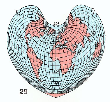
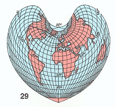
Thanks to Prof. Ben Marsh for sending in this image of the Bonne map projection, 1752!
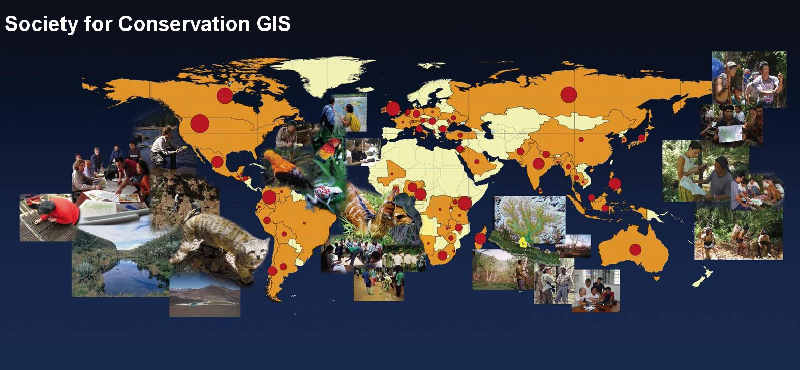
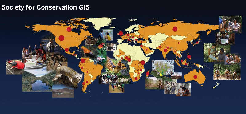
Sponsored by Esri and the Society for Conservation GIS
ESRI and the Society for Conservation GIS (SCGIS) are sponsoring a map competition. Deadline is midnight, March 15th, 2011. Entries must use ArcGIS software and have a focus on an existing conservation project or program. See list of prizes below. Click here for more info.
$5,000 – Grand Prize (Best Exemplifies Conservation Mapping)
$1,000 – Best Traditional Cartography
$1,000 – Best Interactive Web Map
$1,000 – Best Use of Science
$1,000 – Best Innovation
$1,000 – Best Societal Impact
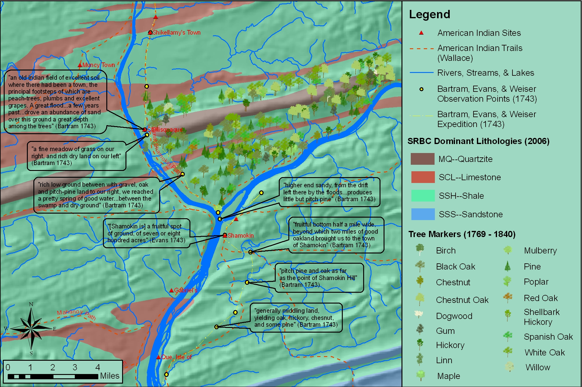
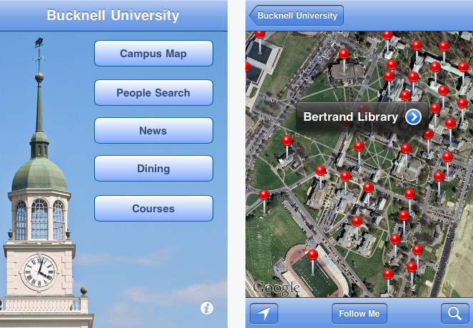
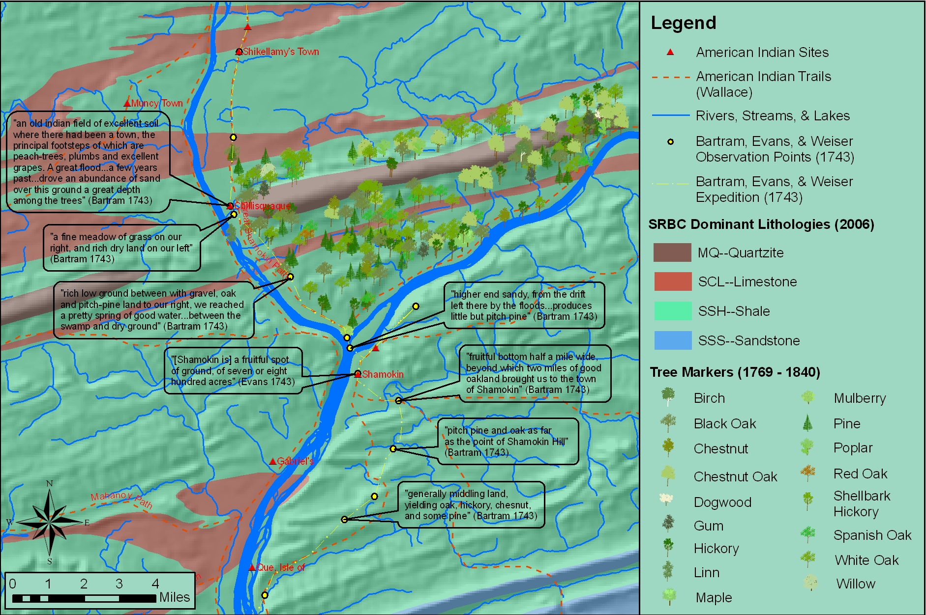
In the BU homepage’s February ‘Ask the Expert’ interview, Prof. Katie Faull discusses her research on the 18th Century Moravian settlers and Native Americans who inhabited the Susquehanna watershed region. With the help of her research assistant, Emily Bitely ’11, Prof. Faull has made extensive use of GIS in reconstructing 18th Century landscapes of the Susquehanna. Read the interview here.
Sample map constructed from witness tree markers and georeferenced historic maps:
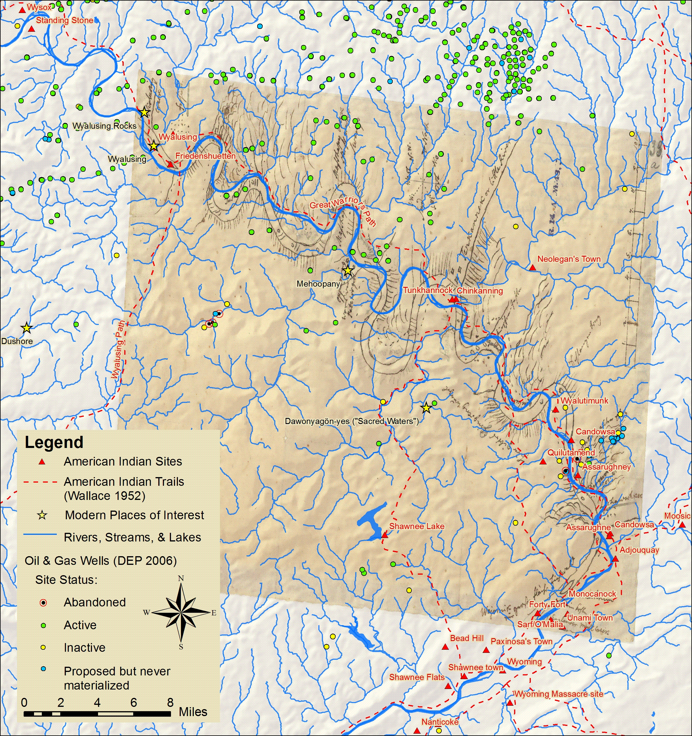
Sample map showing locations of Native American sites, trails and sacred places in relation to Marcellus Shale gas drilling.
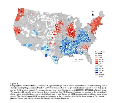
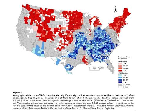
An article from yesterday’s Huffington Post features maps showing geographical clusters of US counties with significantly high or low breast cancer and prostate cancer rates. The maps, from a recently published study reveal distinct geographic patterns – in particular a strong north-south distribution of ‘hot spot’ clusters.
Geographic clusters of US Counties with significant high or low breast cancer incidence rates.
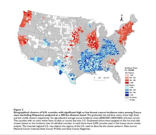
Geographic clusters of US Counties with significant high or low prostate cancer incidence rates.