Categories
Bucknell/Local Interest Events/Calendar General GIS GIS in Computer Science

iExplorePAtrails Mobile Competition

Harrisburg University and the PADCNR recently announced the iExplorePAtrails Mobile Competition. The contest encourages developers from PA universities and beyond to develop mobile applications that combine data on PA trails with other data and user content. The goal is to create ‘mash-ups’ that encourage use of Pennsylvania’s 1,000s of miles of trails and enhance the fun that trail users can have. The contest deadline is April 15th – click here for more information.

Categories
Bucknell/Local Interest Data General GIS Slideshow

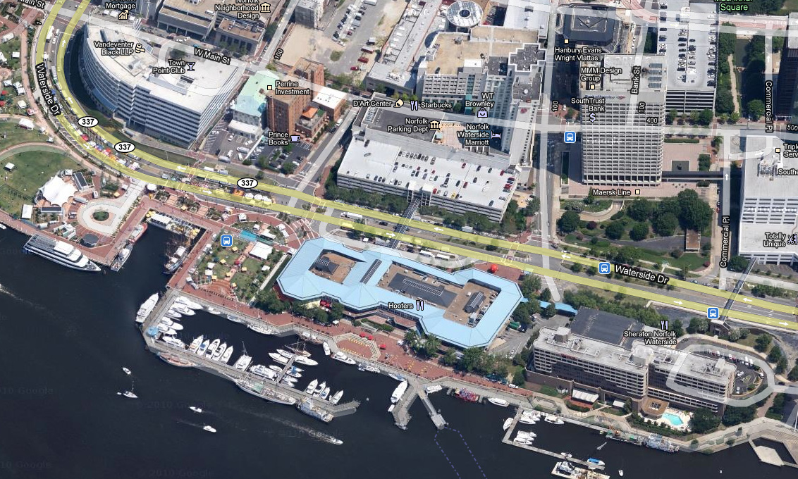
Google releases new oblique imagery in Google Maps

From the LatLong blog:
“We’re now well into the new year, and to kick off 2011, the Geo Imagery team has just rolled out some refreshed 45° imagery for a number of places in the United States. So whether you already miss the places you may have visited over the holiday season, or you’re looking for new vacation spots to travel to this year, you can now escape the winter weather and check them out virtually from the comfort of your warm and dry home.”
Check out some samples of the new data here.
Imagery from Norfolk, VA: