Earlier this week, Google released Google MapMaker in the U.S. The tool, which enables users to add their own point, line and polygon features to the Google basemap (e.g. coffee shops, short-cuts across campus, soccer fields) has been available internationally since 2008 as a means for generating detailed local datasets for under-mapped areas.
The tools in the Google MapMaker interface are similar to those found in OpenStreetMap but the user-submitted data is not open source. Nor are there any guarantees about accuracy. Although Google runs algorithms on the back-end to review user-submitted data and provide some (very) minimal level of quality assurance it’s up to each of us to evaluate how good or bad all of this new data is. Just remember – inaccuracies in data supplied by Google’s own staff have inflamed border disputes on a number of occassions in recent years (notably between Cambodia and Thailand; and between Nicaragua and Costa Rica).
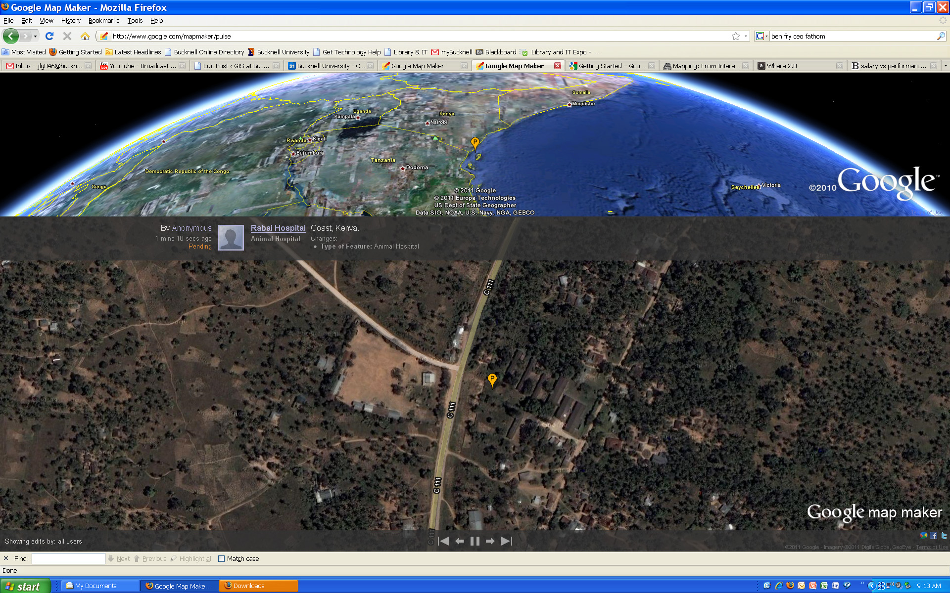
Click here to visit the Google MapMaker site. Or, click here to check out Google MapMaker Pulse – a totally addictive real-time feed showing user updates to MapMaker worldwide (see below for screenshots of updates provided by users in Kenya and Belarus). Here’s a link to an article from Wired.com on the new release.
And a video from Google advertising the new MapMaker tool:
httpv://www.youtube.com/watch?v=znCPgldRWTc&feature=player_embedded#at=16
Google MapMaker Pulse – User-generated edits from Kenya:
Google MapMaker Pulse – User-generated edits from Belarus: