Categories
Crisis-Mapping General GIS GIS in Political Science Map Apps Slideshow

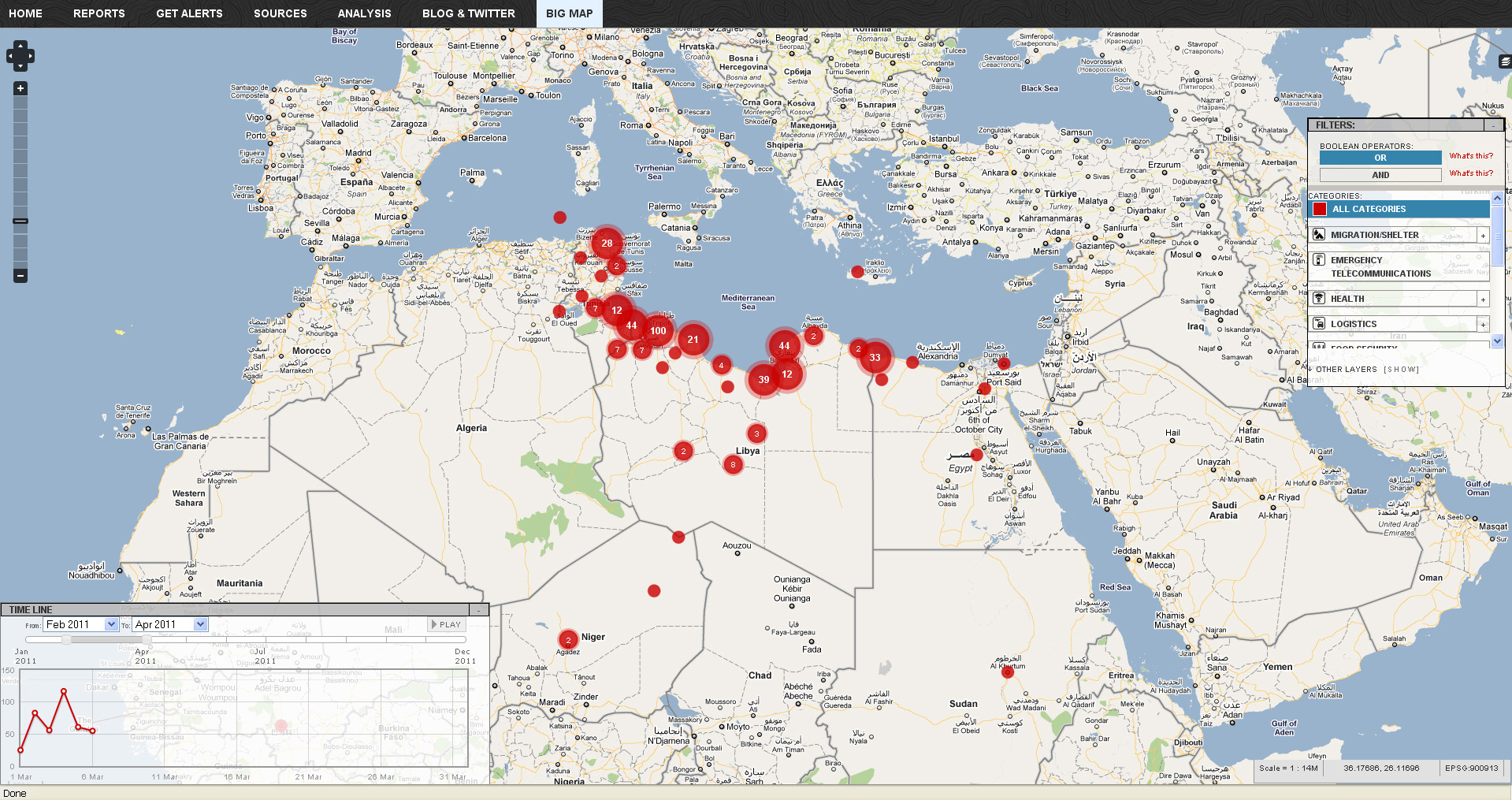
Libya crisis map

Click here to check out the new Libya Crisis Map.  Courtesy of Adena Schutzberg over at AllPointsBlog:

OCHA, UNOSAT and NetHope have been collaborating with the Volunteer Technical Community (VTC) specifically CrisisMappers, Crisis Commons, Open Street Map, and the Google Crisis Response Team over the past week.

The CrisisMappers Standby Task Force has been undertaking a mapping of social media, news reports and official situation reports from within Libya and along the borders at the request of OCHA. The Task Force is also aiding in the collection and mapping of 3W information for the response. UNOSAT is kindly hosting the Common Operational Datasets to be used during the emergency. Interaction with these groups is being coordinated by OCHA’s Information Services Section.

The public version of this map does not include personal identifiers and does not include descriptions for the reports mapped. This restriction is for security reasons. All information included on this map is derived from information that is already publicly available online
 

By Janine Glathar

Janine Glathar joined the Digital Pedagogy & Scholarship team in 2009 to fill the newly-created role of GIS Specialist at Bucknell. She has worked in the field of geospatial technologies for more than 15 years as research specialist, technical analyst and software trainer. Prior to joining L&IT at Bucknell, Janine spent seven years doing applied GIS research in Philadelphia’s non-profit social services sector as the GIS Senior Analyst for Philadelphia Safe & Sound and the Greater Philadelphia Urban Affairs Coalition. Before transitioning to the social services research world, Janine worked for the GIS software company ESRI as a trainer and education/non-profit coordinator. She earned a B.A. in European History and Russian Language/Literature at the University of Pennsylvania. If you ask Janine where she’s from, she’ll tell you she’s a Navy brat and will probably offer to show you a map of all of the various places she’s lived over the years.

Areas of expertise:
ArcGIS, Digital Pedagogy, Digital Scholarship, GIS, Google Earth, Spatial Thinking