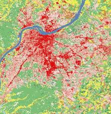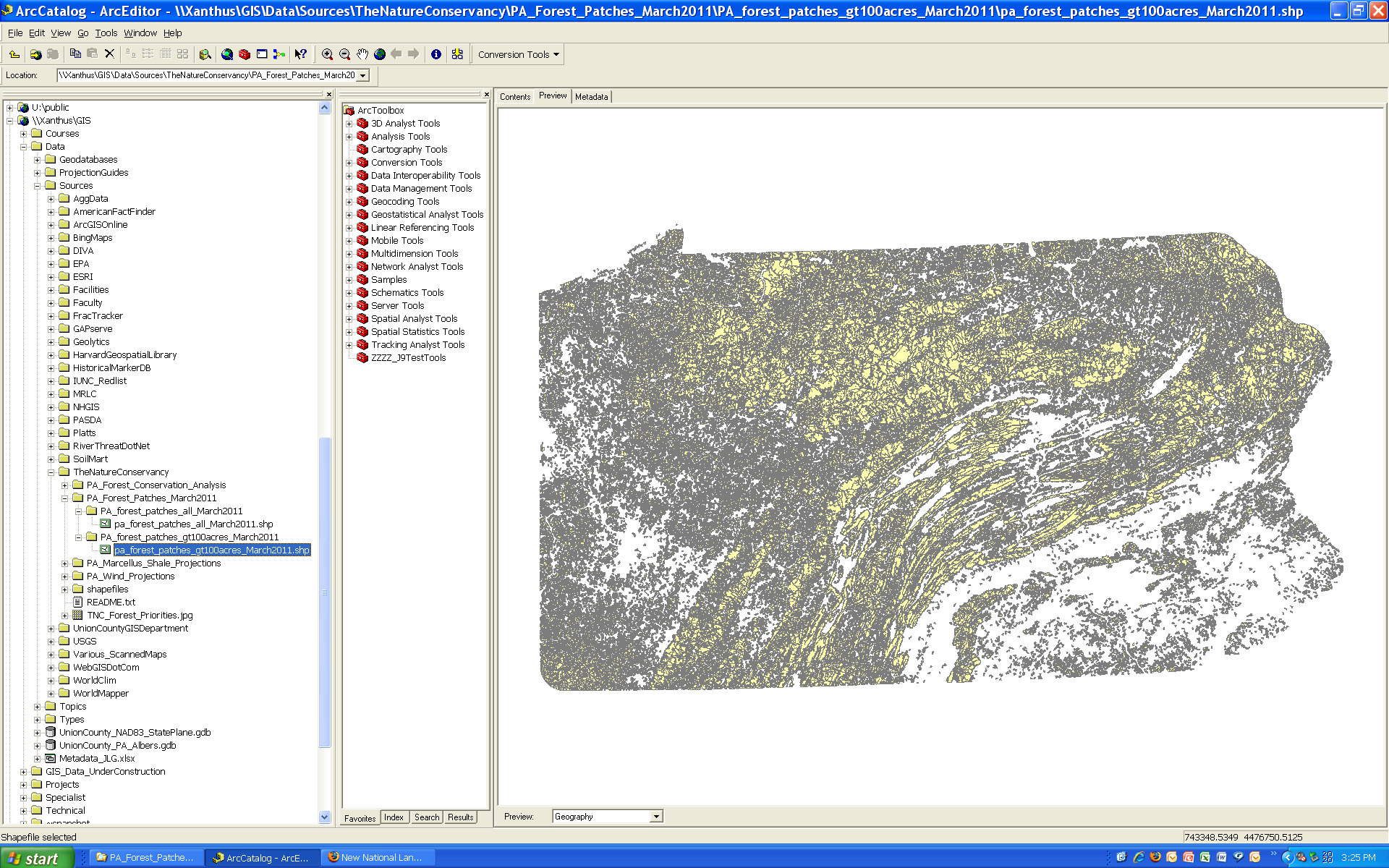
New data on Pennsylvania forest patches is available on Xanthus. The datasets were created by the Pennsylvania chapter of The Nature Conservancy (TNC). The forest patches were delineated using the new 2006 NLCD data (also available on Xanthus). The TNC defines forest patches as “contiguous areas of natural cover bound by any linear fragmenting feature (roads, railroads, rights-of-way) or non-forest edge.”
Two files are available – (1) forest patches for all of Pennsylvania; and (2) forest patches greater than 100 acres in size. One important caveat to keep in mind is that the dataset is intended for analyzing patterns of forest cover and forest patch sizes at a relatively small scale (e.g. state or regional as opposed to small sections of a particular forest or locality). The NLCD land cover data from which the forest patches were derived is relatively coarse in resolution – so the forest patch boundaries are approximations and not intended for use in applications where exact measurements are needed.
Please contact me if you need to get access to the Xanthus data folder.