Categories
Bucknell/Local Interest Data Environment General GIS

New National Land Cover Database (NLCD 2006) Available

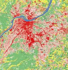
The latest edition of the NLCD (2006) is now publicly available, providing updates on land cover change occurring between 2001 and 2006.  I’m working on downloading the data to the GIS data folder on Xanthus so stay tuned for a post telling you when that’s complete.  If you can’t wait, click here to download the data now from the Multi-Resolution Land Characteristics Consortium website.
Categories
Bucknell/Local Interest Data General GIS Slideshow

Google releases new oblique imagery in Google Maps

From the LatLong blog:
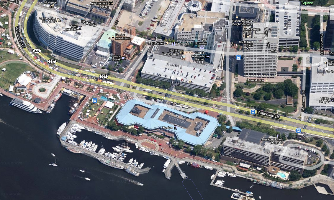
“We’re now well into the new year, and to kick off 2011, the Geo Imagery team has just rolled out some refreshed 45° imagery for a number of places in the United States. So whether you already miss the places you may have visited over the holiday season, or you’re looking for new vacation spots to travel to this year, you can now escape the winter weather and check them out virtually from the comfort of your warm and dry home.”
Check out some samples of the new data here.
Imagery from Norfolk, VA: