In recent posts I’ve given examples of how GIS can help you find an internship during your undergraduate years (click here to read more) and/or help you land a job once you have graduated from Bucknell (click here, here and here to read more). Having experience with GIS as an undergraduate can also help you get into grad school (and get funding!).
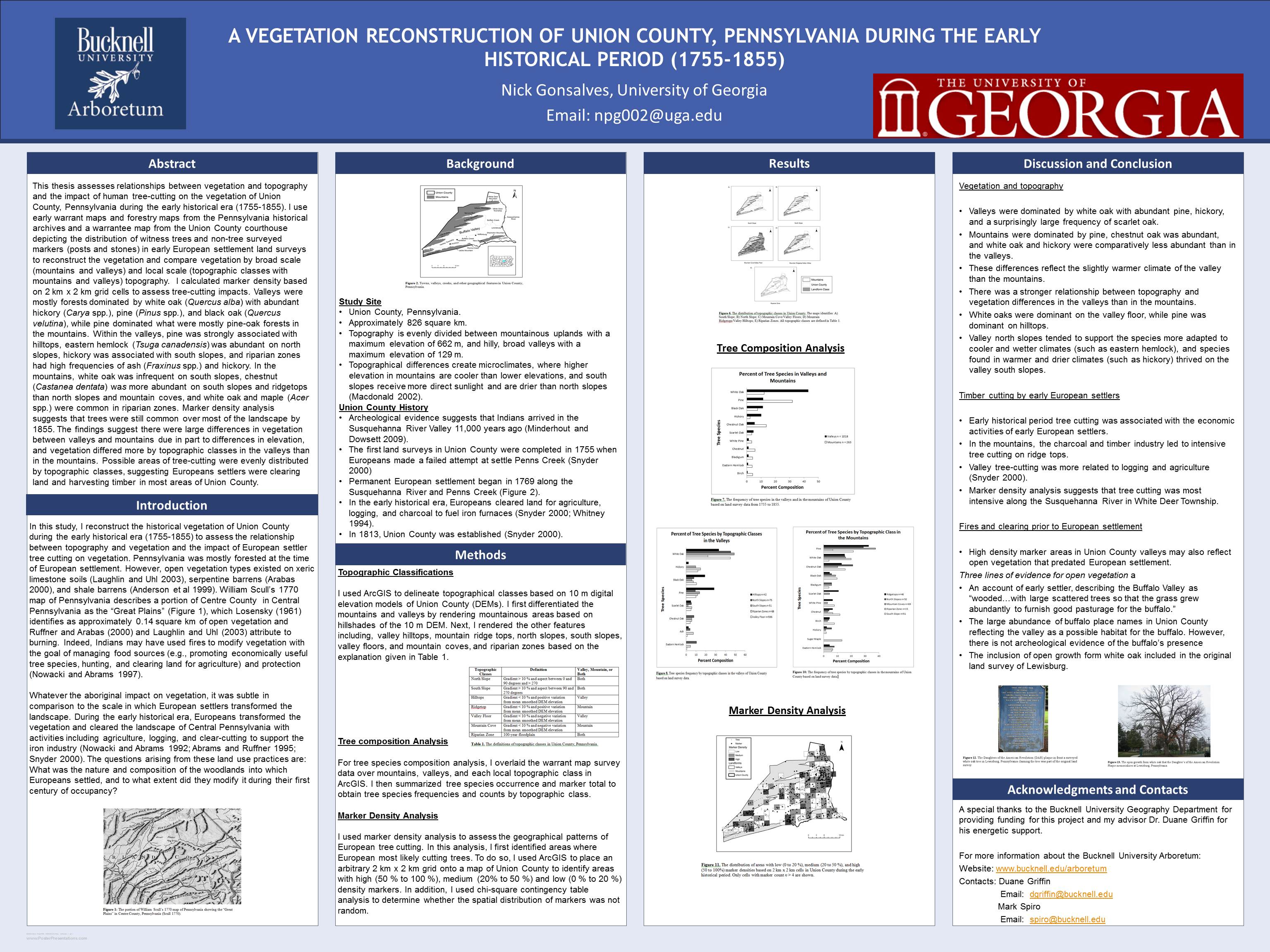
Nick Gonsalves, Geography ’11, is a great example. In addition to taking Prof. Duane Griffin’s GEOG204 ‘Applied GIS’ course, Nick used GIS as one of the key research methodologies for his senior honors thesis. For his thesis, Nick reconstructed the historical vegetation of Union County during the early historical era (1755-1855) to assess the relationship between topography and vegetation, as well as the impact of European settler tree cutting on vegetation. Nick’s undergraduate experience with GIS and his ability to apply the technology in developing his honors thesis was surely a factor in his acceptance and funding for graduate studies in the University of Georgia’s Geography Department.
Now that he’s in the graduate program at UGA, Nick continues to use GIS for class projects (such as researching the distance food travels from the farm to the farmer’s market in Athens, GA) and for developing his Master’s thesis. He’s also continuing to present the results of his senior honors thesis from Bucknell – including participating in a poster session at this year’s American Association of Geographers conference in NYC (see below – click on image for a larger version of the poster).