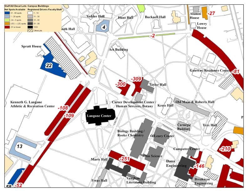
Last summer, Bucknell’s administration asked our GIS team to conduct an analysis of parking availability across campus. The project was assigned to Dan Dougherty, Geography/History ’12 and is summarized in Dan’s guest post here. This spring, a team of four students in Prof. Michelle Oswald’s CENG 432 course, Sustainable Transportation Engineering, are picking up where Dan left off. The team – comprised of Meredith Menzel, Emily Liggett, Dennis Lee and Jordan Roder (all CENG majors from the class of 2012) – intends to add new data, extend the analysis and propose environmentally-friendly solutions to the parking shortages across campus. Says Menzel,
“We are planning on doing some of our own surveying to update these parking lot ratios and update the maps with any new parking lots, especially in relation to the current construction, the Bucknell South campus project, and the Master Plan.
We are also planning on surveying Bucknell students and staff to collect more information about who drives, walks, etc. to evaluate the parking demand which will help us propose new parking solutions. If some of these solutions involve physically redesigning the parking lots at Bucknell, we were planning on creating some new maps to present our solutions.”
Incidentally, 3 of the 4 team members (Menzel, Liggett and Lee), are veterans of Prof. Carl Kirby’s GEOL230 class, Environmental GIS. Below are maps that each of the students produced for GEOL230 (click on the images to view them at full size). Stay tuned for updates for their work on the parking analysis.
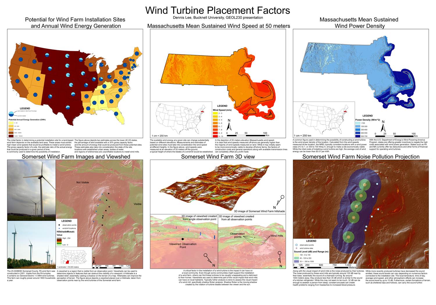
Dennis Lee’s poster from GEOL230
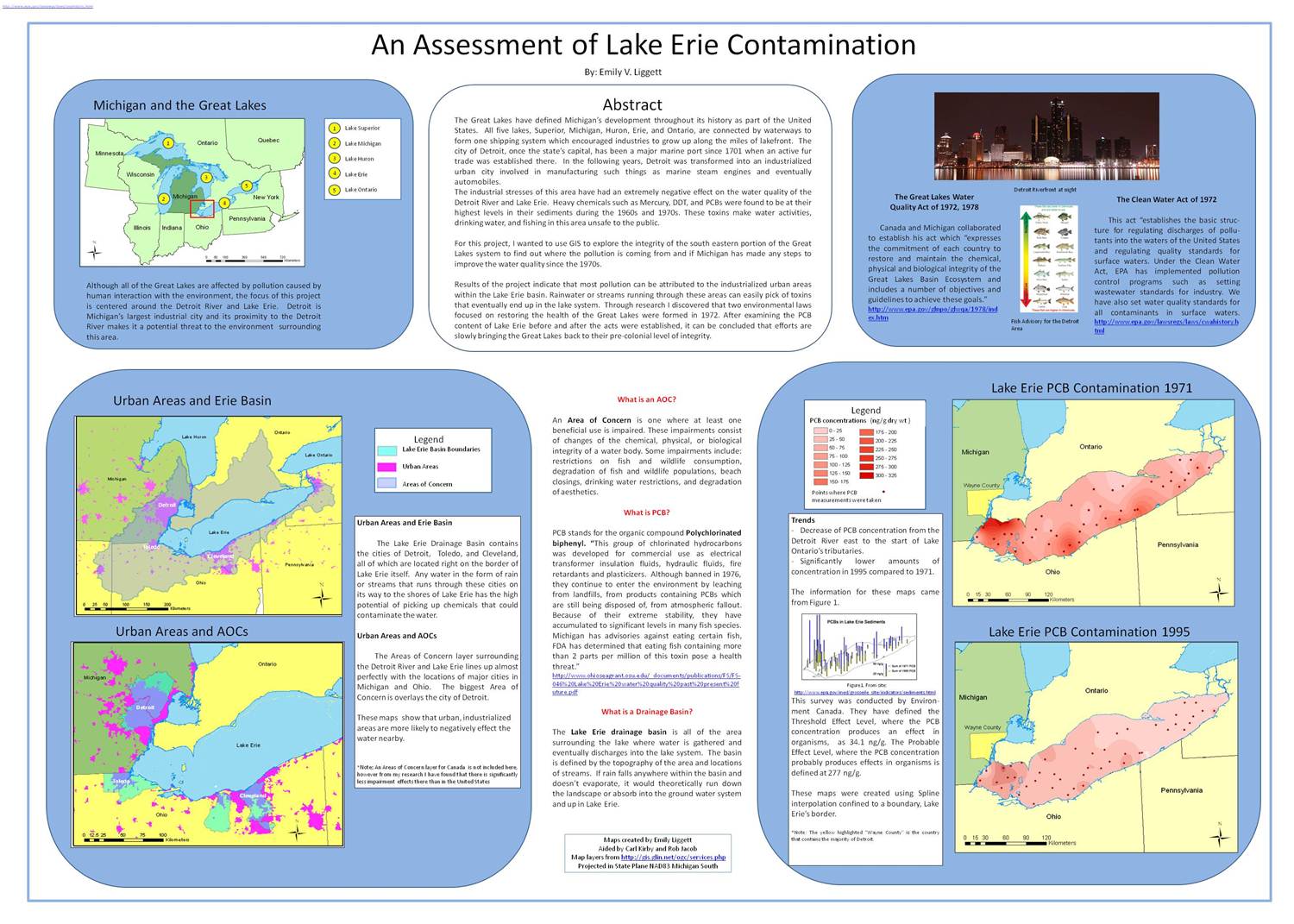
Emily Liggett’s poster from GEOL230
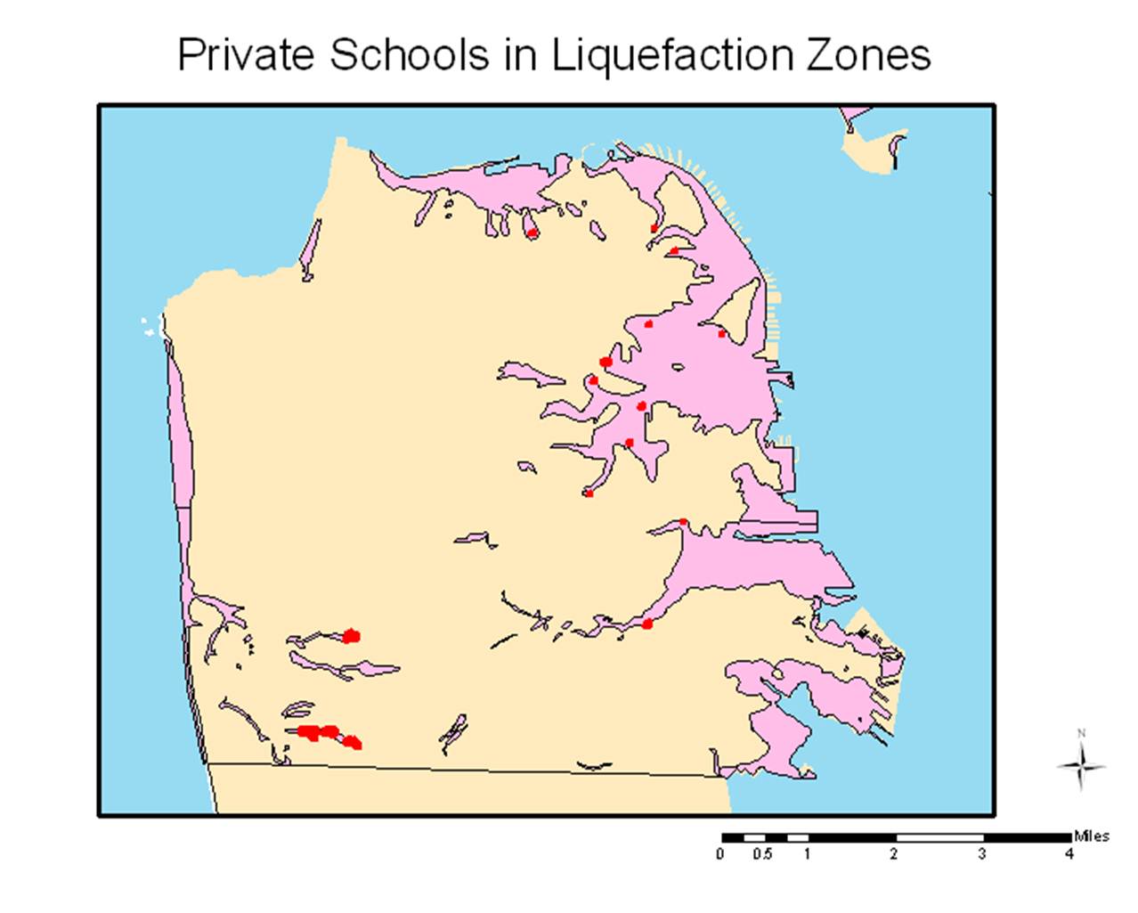
A map from Meredith Menzel’s GEOL230 presentation