The World Resources Institute has a new online map of global reefs classified by threat risk. Click here to explore the map and/or download the KML. Click here for additional data and maps on global reefs.

The World Resources Institute has a new online map of global reefs classified by threat risk. Click here to explore the map and/or download the KML. Click here for additional data and maps on global reefs.
Several new datasets from Platts (an energy consulting firm) and the Nature Conservancy were added to the GIS Data folder on Xanthus last night. The data includes gas compressor stations for PA, NY and WV along with current and projected locations of Marcellus Shale wells and wind turbines in PA. Forest patches and landscape blocks are also included in the data from the Nature Conservancy . Full metadata is available on Xanthus. Bucknell faculty and students – please contact me for access and/or additional information on the new datasets.
Gas compressor station locations for PA, NY and WV.

Projections by The Nature Conservancy and Western Pennsylvania Conservancy
Marcellus Shale drilling permits from the PA Department of Environmental Protection (PA DEP)
Projections by The Nature Conservancy and Western Pennsylvania Conservancy
—> Original model output at 30-meter resolution
—> Re-sampled raster at 60-meter resolution with exclusionary areas removed
Case information from the Federal Aviation Administration (FAA)

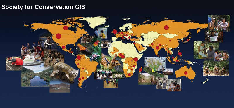
Sponsored by Esri and the Society for Conservation GIS
ESRI and the Society for Conservation GIS (SCGIS) are sponsoring a map competition. Deadline is midnight, March 15th, 2011. Entries must use ArcGIS software and have a focus on an existing conservation project or program. See list of prizes below. Click here for more info.
$5,000 – Grand Prize (Best Exemplifies Conservation Mapping)
$1,000 – Best Traditional Cartography
$1,000 – Best Interactive Web Map
$1,000 – Best Use of Science
$1,000 – Best Innovation
$1,000 – Best Societal Impact