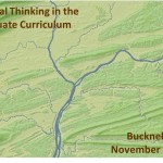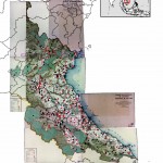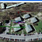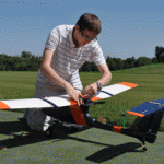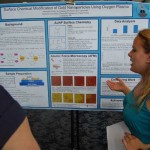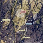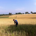
Thanks to the Mellon grant and a huge number of faculty teaching and research projects it's been a very busy summer of GIS work at Bucknell. Over the coming weeks I'll write detailed posts about the work we're doing on each of the projects. If I'm really ambitious I might try to post some interviews with faculty and students - and some footage of the aerial drone flights that … [Read more...]
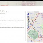
GPS vs. Smartphone positional accuracy
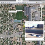
Joseph Kerski, part of Esri's education team had some interesting blog posts last week comparing the accuracy of GPS units to his smartphone and implications that might have for using the SmartPhone for academic purposes Recently I wrote about techniques to use photographs taken on a SmartPhone as hyperlinks to locations where you have collected field data using ArcGIS Online … [Read more...]
Your iPhone is Tracking You
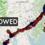
O'Reilly Media published a story yesterday (on the penultimate day of its Where2.0 conference no less...) describing Alasdair Allan and Pete Warden's discovery of a hidden file on your iPhone and 3G iPad that keeps a running record of your device's whereabouts. The file, part of the iOS4 release, records both latitude/longitude and timestamps - making it possible to create a … [Read more...]
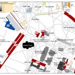
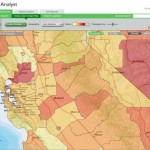
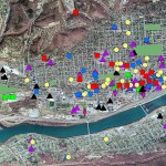
GIS in education – EPA grant and campus mapping

Notes on two interesting stories about GIS in education. Thanks to Adena Schutzberg's All Points Blog for the heads up about the stories. 1. Texas State University's Center for GIScience was recently awarded 500K grant from EPA to use GIS for modelling/mapping air pollution-exposure-health effects: The U.S. Environmental Protection Agency’s Science to Achieve Results … [Read more...]