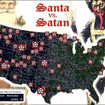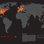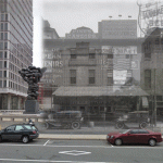
This is the first in a series of posts about several exciting new projects that my old friends and Philly GIS happy hour buddies are up to at Azavea. The first is funded by an NEH Digital Humanities Start-Up Grant that was awarded to the Philadelphia Department of Records to create a smartphone app that will enable users to view historic photos from PhillyHistory.org draped … [Read more...]
How big is it really?
Back in December I posted about an NPR story about map scale. I got so excited about the baseball on the moon map that I neglected to point out the other really interesting link from the story - to the BBC Dimensions website. Dimensions (or, 'howbigisitreally') has a tool that lets you plug in any zip code or location and then choose from a list of events, places or things … [Read more...]
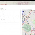
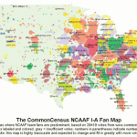
Map your name

A fun new map site from Stephen Von Worley of Datapointed.net. Click here then scroll to the 'Find This First Name' tool (screenshot below) and type in your first name. Clicking the 'Map it!' button will return a map showing the worldwide locations of streets, places and things with your name. Clicking the 'Earth it!' option will give you the option of saving and/or opening a … [Read more...]
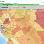
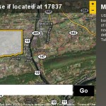
Forecasting snow and finding supermarkets
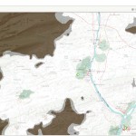
If you're the type of person who loads up on bread and milk at the first hint of snowfall, then ArcGIS Online is your new best friend. Using ArcGIS Online you can create a map showing projected snowfall amounts for your area along with the locations of nearby supermarkets. The ArcGIS Online Gallery has free basemaps that you can use to create quick and easy mash-ups online, … [Read more...]