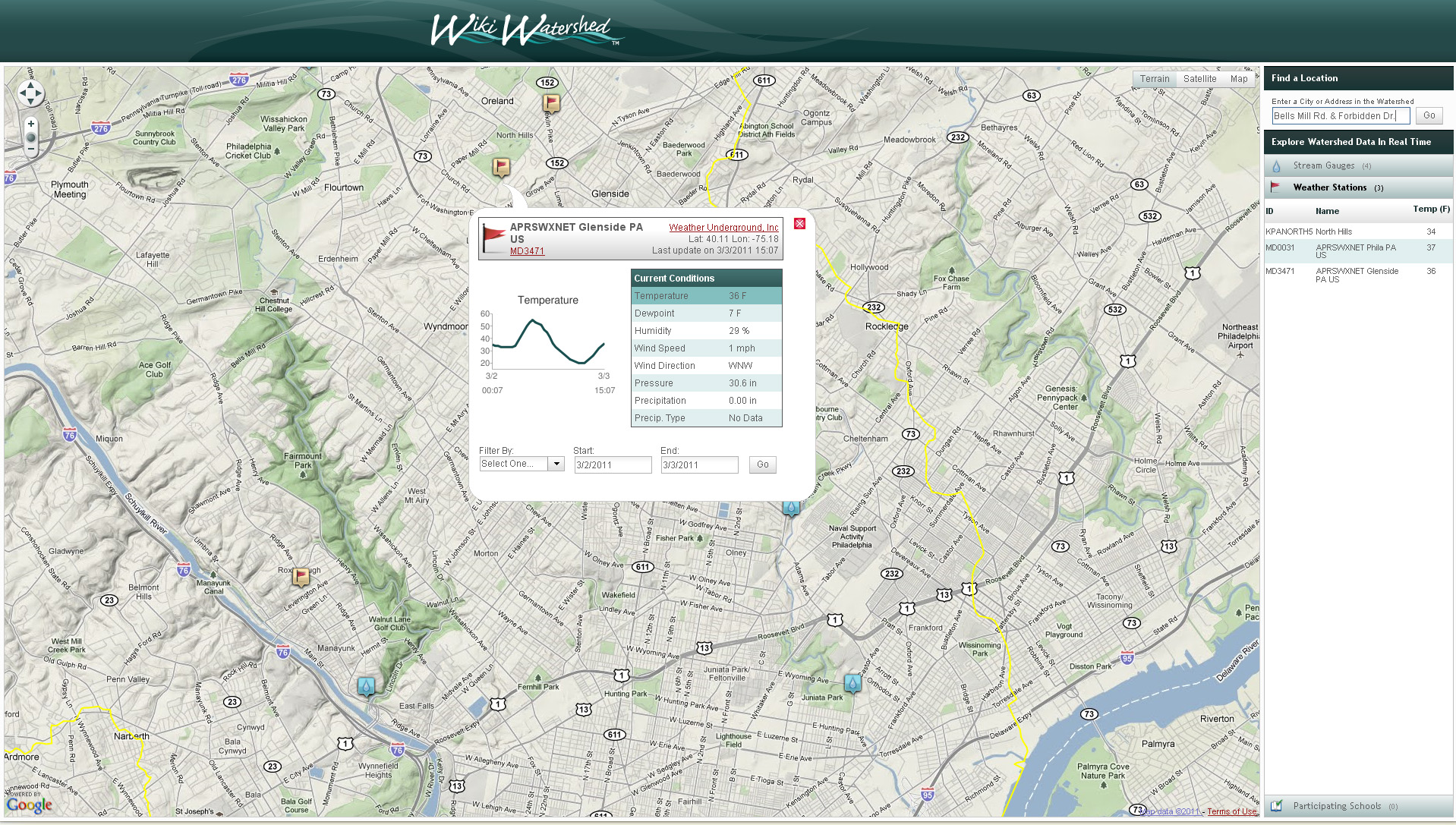
WikiWatershed is another exciting project under development by the team at Azavea. The project – a collaboration between the Stroud Water Research Center, Azavea, University of Pennsylvania’s Cartographic Modeling Lab and Millersville University – features a suite of web-based mapping and analysis tools designed for use by students and concerned citizens in sharing information about the streams, rivers and natural resources in their watersheds. The first component of WikiWatershed to be released is the Model My Watershed tool which allows for web-based modeling of stormwater:
This game-like simulaton will enable students to modify underlying environmental conditions and simulate how these changes to the ecosystem affect the hydrologic cycle in their local watersheds …[and will] will use the latest version of Azavea’s DecisionTree geoprocessing framework to provide high performance, scalable modeling capabilities.
From the Stroud Water Research Center website:
When fully developed, [WikiWatershed] will leverage open source software and will function as an open collaborative resource for the community, enabling users to share geographically-tagged data, photos, videos, comments, educational curricula, simulation models and other tools on streams and rivers. As “Wiki” implies, content will be primarily contributed, enhanced and maintained by the user community. The WikiWatershed™ web portal will link a database of watershed information to geo-tagged visual content viewable on Google Maps®/Earth®, Flickr®, Panoramio®, YouTube®, etc.
Click here to explore the WikiWatershed mapping application.