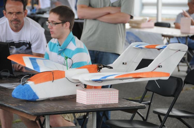
Nick Urban ’12, a GIS student assistant and Computer Science major, recently competed in the 9th annual student Unmanned Air Systems (UAS) competition held at Webster Field in St. Inigoes, MD. Hosted by the Association for Unmanned Vehicle Systems International (AUVSI), the competition challenged students to “design, fabricate, and demonstrate a system capable of completing a specific and independent aerial operation.” In other words, the teams had to design, build and fly an aerial drone and compete against each other to incorporate specialized features like automated take-off and landing, auto-pilot flight, in-flight transmission of still and/or video imagery, etc. into their drone flights. Although Bucknell had the smallest team by far (Nick Urban ’12, Computer Science and Dan Farrell ’12, Physics) and one of the smallest teams in the history of the competition – just two students as compared to upwards of 15 or 20 from other schools – the Flying Bison finished 15th out of 26 teams and earned a $1,000 award.
Earlier this spring, we joked about doing a fly-over (or blimp-over) of campus to collect high resolution imagery, but here we are a few months later doing exactly that thanks to Nick’s project. During July and August, Nick will be using the Flying Bison to collect aerial imagery and in-flight video footage of campus and surrounding areas. The data will be used for exploring the possible applications of a UAV (Unmanned Aerial Vehicle) as a tool for monitoring environmental change. The data will also be used in developing a restoration plan for the Miller Run creek that runs through campus.
Click here for more information on the UAS competition and Bucknell’s Flying Bison drone.