Check out these internships & job opportunities from ESRI. It’s a fantastic company to work for and could set you up for a very successful career in GIS work:
1. ESRI summer internship program:
Our Internship Program gives you a chance to work alongside Esri staff throughout the company.
- Full-time, paid positions (up to 12 weeks)
- Approximately 80 interns, primarily in Redlands but also in a few regional offices
- Check your major to see where you would fit best
- Apply now! The deadline is March 15, but positions are filled as qualified candidates are identified.
- Have questions? We have answers.
2. ESRI User Conference student assistantship program:
Are you proud to call yourself a geogeek? Students selected for our Student Assistantship Program spend a full week at the Esri International User Conference in beautiful San Diego. In exchange for helping out during the conference, students attend sessions and network with others who share their passion for GIS. The application deadline is March 29. Students must be available to work Saturday, July 6, through Friday, July 12.
Read about Amelia’s experience as a student assistant at last year’s conference.
3. Full-time, permanent positions with ESRI:
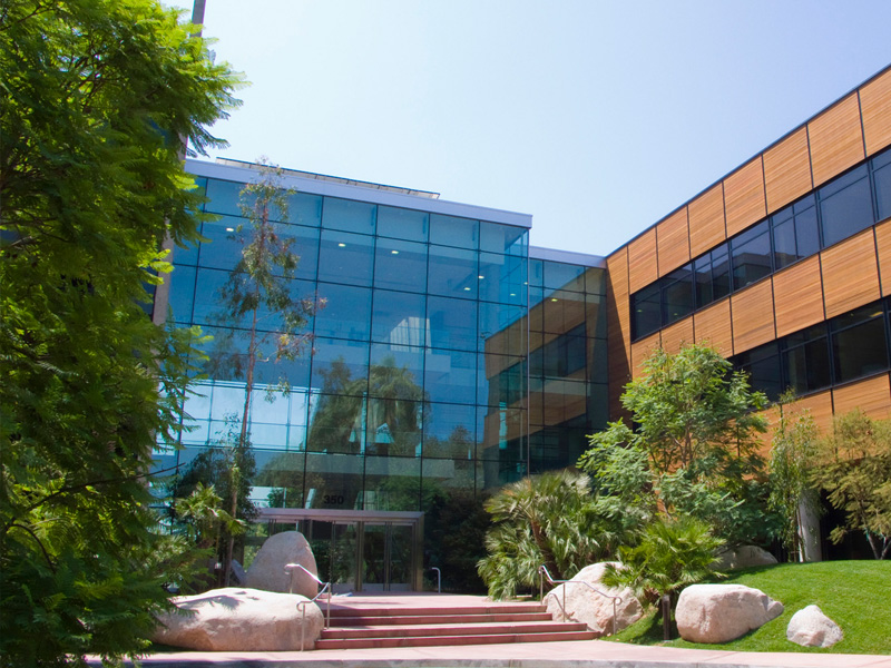
Seniors: Ready for a New Campus? Graduating this semester? Congrats! Make the transition from your college campus to the Esri campus, where you’ll find a number of opportunities for new grads throughout the company. Learn where you might fit at Esri and then search current openings.
Check out our Life at Esri video.
There are still plenty of opportunities to meet our staff at campus events across the US this spring. Check our interactive map for the schedule.