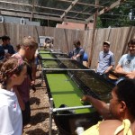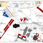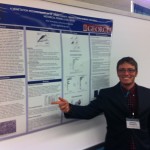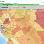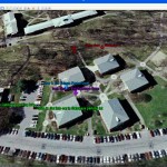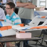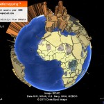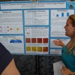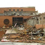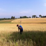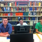
Thanks to the Mellon grant and a huge number of faculty teaching and research projects it's been a very busy summer of GIS work at Bucknell. Over the coming weeks I'll write detailed posts about the work we're doing on each of the projects. If I'm really ambitious I might try to post some interviews with faculty and students - and some footage of the aerial drone flights that … [Read more...]
WikiWatershed – Model My Watershed
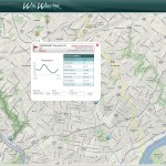
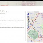
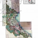
WikiWatershed is another exciting project under development by the team at Azavea. The project - a collaboration between the Stroud Water Research Center, Azavea, University of Pennsylvania's Cartographic Modeling Lab and Millersville University - features a suite of web-based mapping and analysis tools designed for use by students and concerned citizens in sharing … [Read more...]