A new episode of Penn State's "Geospatial Revolution" project was released today. With the tagline "the location of anything is becoming everything" the Geospatial Revolution series is produced by Penn State's public broadcasting group and described as an "an integrated public service media and outreach initiative about the world of digital mapping and how it is changing the … [Read more...]
How big is it really?
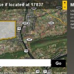
Back in December I posted about an NPR story about map scale. I got so excited about the baseball on the moon map that I neglected to point out the other really interesting link from the story - to the BBC Dimensions website. Dimensions (or, 'howbigisitreally') has a tool that lets you plug in any zip code or location and then choose from a list of events, places or things … [Read more...]
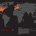
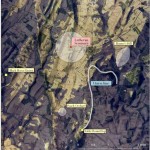
Egypt Events Map
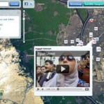
Follow the events unfolding in Egypt in real-time by using the Egypt Events Map to track social media posts in the region. The interactive map app is hosted by ESRI and provides live feeds from Twitter, YouTube and Flicker. … [Read more...]
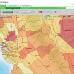
Mapping America block by block
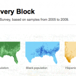
The front page of yesterday's New York Times featured maps and stories based on recently-released data from the U.S. Census Bureau's American Community Survey. As described by the team at Social Explorer, "the latest [American Community Survey] figures are the single largest data release in the Census Bureau’s history, providing a look for the first time since 2000 at a variety … [Read more...]