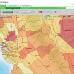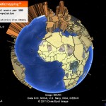
Here's another treasure trove of data that's ready and waiting to be added to your ArcMap session. Over the last several years the New York Public Library has scanned more than 10,000 public domain historic maps and atlases of New York City and made digital copies of those maps available via its website. Recently NYPL took this project to the next level by creating a web … [Read more...]
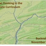
Bucknell HGIS presentation at Yale
Over the last two and a half years, Bucknell History professor David Del Testa has been working - on his own and in collaboration with me and the GIS Student Assistants - on integrating GIS into his research on historical protest events in Vietnam. Last October, Prof. Del Testa presented preliminary results from this work at UC Berkeley's Center for Southeast Asia Studies. … [Read more...]
From the Yale Daily News… “Map on, Maples!”
The Yale Daily News has a great article about the role that the GIS Specialist, Stace Maples, plays on campus. Maples, a fellow ESRI T3G Institute alum from summer 2010, works with faculty and students on integrating GIS into teaching and research at Yale and... ... he is in high demand. Working in the three-person Map Department, a department within the Yale University … [Read more...]
Using G.I.S. to Visualize Historical Landscapes
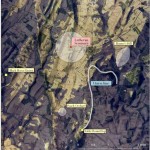
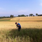
Guest post by Michael Grasso, Environmental Studes 13' Geographic Information Systems can be used recreate a landscape that no longer exists. Historians can use this technology to help explain confusing, or even previously unexplainable, events that took place in the past. For example, General Robert E. Lee issued a series of orders (Pickett's Charge) that directly caused … [Read more...]
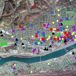
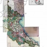
Georeferencing Historic Maps of Susquehanna Valley Region
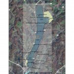
Guest Post by Robby Holler, Geography/International Relations '13 During the past two months, I’ve spent time working with other GIS interns with many of their projects. Much of my time, though, has been spent on two projects: georeferencing an 1868 atlas of central Pennsylvania and georeferencing and vectorizing a map of Lake Otsego. Both of these projects tie in … [Read more...]